- Home
- :
- All Communities
- :
- Industries
- :
- Electric
- :
- Electric Documents
- :
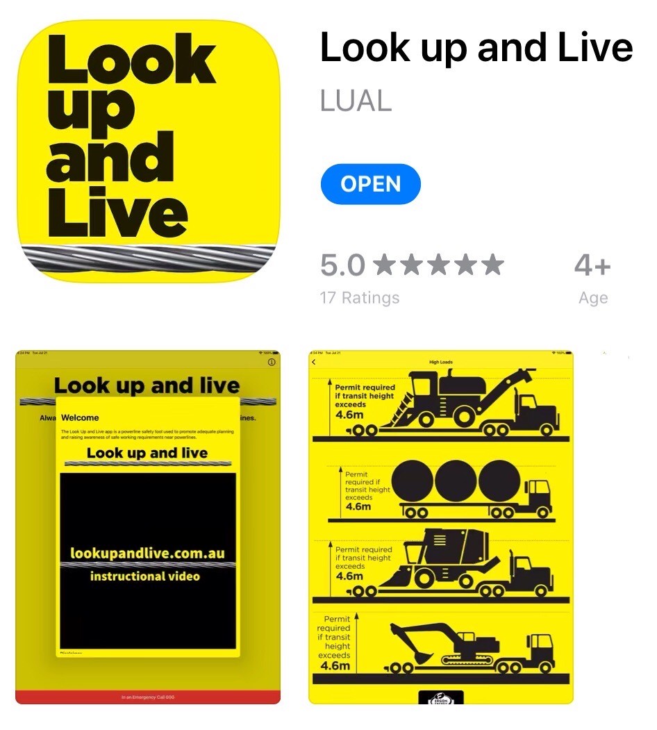
- GIS is saving lives - Look up and Live
- Subscribe to RSS Feed
- Mark as New
- Mark as Read
- Bookmark
- Subscribe
- Printer Friendly Page
- Report Inappropriate Content
GIS is saving lives - Look up and Live
GIS is saving lives - Look up and Live
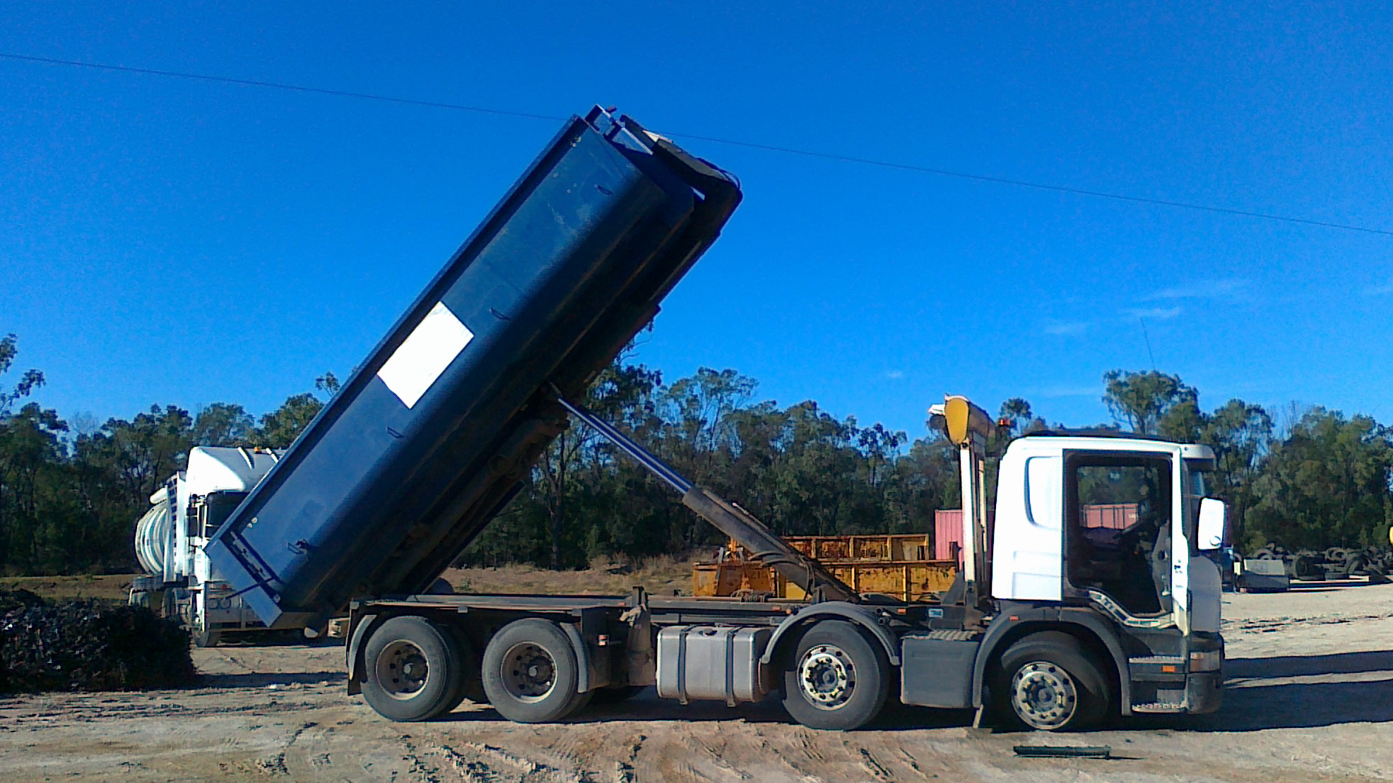
"I knew that powerline was there, I just didn’t see it!” I hear this phrase almost every day, from workers who have been extremely lucky to survive an accidental contact with overhead powerlines. Usually the machinery is not so lucky with tremendous damage to tyres, hydraulics and electrics of the vehicle.
Why Do These Accidents Occur?
Why do these incidents occur so regularly when the powerline infrastructure is so visible, and why don’t people see them? Have you ever missed seeing a cyclist when arriving at an intersection? Why didn’t you see them? Were you looking for vehicles or a cyclist? Despite what most people think our eyes do not work like a video camera capturing everything and sending that info to our brain. If you haven’t identified what you are looking for it can be easily overlooked and is known by a term called ‘Inattentional blindness’. Inattentional blindness occurs when the brain is focused on a specific task, and the eyes and brain miss a fully visible hazard, such as powerlines.
Adequate Planning.
Let’s talk about underground powerlines for second, underground powerlines are not visible but are damaged far less often, why is that? It’s because we cannot see them that we, then formulate a plan to work near them, by using planning tools such as One Call / 811 or Dial Before You Dig. Formulating a simple plan has identified the hazard and has significantly reduced to chance of accidental contact with the underground cable.
So, what happens for overhead powerlines? Well most businesses, generally rely on workers to see the powerlines and identify the hazard when they arrive onsite. This is when inattentional blindness comes in, blocking the fully visible powerline to the worker, until it’s too late.
This is where GIS technology has assisted in helping businesses and workers to adequately plan work there near overhead powerlines. Energy Queensland has used ArcGis online standard webapp builder to publicly display powerlines, allowing forward planning for work near powerlines. For example, construction companies can now investigate at the planning stages of what powerline hazards will be onsite and what controls such as relocating or undergrounding of powerlines may need to occur without holding up works in the future when time is money!
Simple example of eliminating the hazard
GIS is Saving Lives
Energy Queensland seen an overall reduction of 25% in accidental powerline contacts, since its initial trial and implementation. The utility has now further developed the Look up and Live mapping tool into an app to assist businesses and workers to adequately plan work near powerlines, by firstly identifying the hazard, then implementing the safety hierarchy of controls to eliminate the powerline hazard using ‘Look up and Live’ safety tips at their fingertips, including free access on any device to request face to face, on site safety advice to put critical control measures in place for the worksite.
Check out the free app yourself, search ‘Look up and Live’ in the app store, download and share this app. Watch this 90 second instructional video, and the map is also available at lookupandlive.com.au on any device.