- Home
- :
- All Communities
- :
- Industries
- :
- Education
- :
- Education Blog
- :
- Analyzing 30 days of Earthquakes using 3D Scenes i...
Analyzing 30 days of Earthquakes using 3D Scenes in ArcGIS Online
- Subscribe to RSS Feed
- Mark as New
- Mark as Read
- Bookmark
- Subscribe
- Printer Friendly Page
- Report Inappropriate Content
We live in a 3D world, and it only makes sense that we want to teach with and learn about the world with 3D tools. With ArcGIS Online, 3D scenes can be easily created and used effectively to teach content. I created a 3D scene with the last 30 days of earthquakes in ArcGIS Online, and documented my procedures with this video. The video also demonstrates how I have taught with the results. Many more themes and phenomena of our world can be examined in 3D using these same tools. I look forward to your feedback!
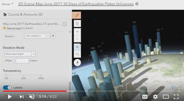
Teaching and learning with 3D scenes in ArcGIS Online can help students grasp key content, encourage spatial thinking, and obtain core GIS skills. This video uses recent earthquakes as an example.
You must be a registered user to add a comment. If you've already registered, sign in. Otherwise, register and sign in.
-
Administration
38 -
Announcements
44 -
Career & Tech Ed
1 -
Curriculum-Learning Resources
178 -
Education Facilities
24 -
Events
47 -
GeoInquiries
1 -
Higher Education
518 -
Informal Education
265 -
Licensing Best Practices
46 -
National Geographic MapMaker
10 -
Pedagogy and Education Theory
187 -
Schools (K - 12)
282 -
Schools (K-12)
184 -
Spatial data
24 -
STEM
3 -
Students - Higher Education
231 -
Students - K-12 Schools
85 -
Success Stories
22 -
TeacherDesk
1 -
Tech Tips
83
- « Previous
- Next »