DevSummit Conference Blog - Page 2

cancel
Showing results for 
Show  only  | Search instead for 
Did you mean: 

Latest Activity

(28 Posts)
by Anonymous User
Not applicable

Here’s a list of the current Technical Session videos now available on Esri Events YouTube. This list will update as they are posted. Some links are subject to change. 


Read more...

more
6 5 6,574
by Anonymous User
Not applicable

Looking for information about the change of events and how to handle travel accommodations?
See the Frequently Asked Questions | 2020 Esri Developer Summit with a statement from Jack Dangermond. 

Read more...

more
5 3 2,196
by Anonymous User
Not applicable

Add GeoNet to your agenda at the Esri Developer Summit Conference in Palm Springs! Learn more about our exciting announcement and get tips on how to connect with members of the community. Encourage a colleague to attend with you to learn about building your network and professional career.

Read more...

more
2 0 1,338
KoryKramer
Esri Community Moderator

Now that I’ve got your ear with that attention-grabbing title, I want to share something new that you’ll see at the Esri Developer Summit (DevSummit) this year.  This may throw you for a loop, but stick with me - it will all make sense in the end!  By “hammer time,” I am referring to the malleus (Latin for hammer), the second smallest bone in the human body.  Partnered with two other small bones, the incus (anvil) and stapes (stirrup), the malleus is the first bone in the middle ear that receives vibrations from the tympanic membrane (the eardrum), and kicks off the transfer of those vibrations through the middle ear to the inner ear where the auditory nerve senses the vibrations and connects them to the brain.

Sirens… getting louder… stop… whew, glad I stopped so that I didn’t get run over by that fire truck!

This makes this group of three small bones, collectively known as the ossicles, a critical component of conveying environmental queues to the human brain for interpretation, decision-making, and learning.

While Esri conferences have always been about creating opportunities for face-to-face time with our customers and partners, the Customer Experience team is striving to elevate customer listening at conferences, making it a highly visible celebration of how we synergize with you - our partners and users - to create amazing products, services and experiences. 

Using interactive wall activities and customer interviews as our medium of engagement, the Customer Experience team provides a platform where we can hear from you, learn more about your needs, be a champion of your voice, and continue to strengthen an already strong culture of listening at Esri. We gather this feedback, analyze it, and share it with relevant stakeholders across the company to drive improvement.

Our first foray into this type of activity was just a couple of weeks ago at the FedGIS Conference in Washington, DC.  It looked like this…

And this...

TL;DR Your voice matters and is music to our ears, the good vibrations to our ossicles. When you’re at DevSummit this year, come talk to us.  The Customer Experience area will be set up smack dab in the middle of the Primrose Lobby and open for your participation during the following times:

Wednesday, March 11th from 7:30 am – 6:30 pm

Thursday, March 12th from 7:30 am – 4:00 pm

more
5 0 1,052
MichelleMathias
Esri Community Manager

We had another successful Developer Summit last month in Palm Springs. Here are a few highlights from the conference.


Lightning Talks

On Monday, we hosted Lightning Talks, where our users got to share five minutes' worth of solid developer gold! The following were our speakers during the event.

Name

Role

Organization

Title

Ashley Snyder

Utilities Mapping Technician III

Manatee County Government

Using Python to Predict Impacts of Storm Inundation on Sanitary Sewer Structures

Andry Rajaoberison

Master of Environmental Management Candidate

Yale University – School of Forestry & Environmental Studies

In-class Use of ArcGIS Online and Seawall Toolbox

Laura Emerson

MGIS Student

Pennsylvania State University

Extending an ArcGIS solution

 Special thanks to Laura for highlighting Robert Scheitlin's Custom Web Appbuilder Widgets list in GeoNet.

Priyatna Kusuma

IT Development Leader

Meteorological, Climatological, and Geophysical Agency (BMKG)

Developing Mobile Application: Weather-based route prediction

Jeff Gawrych


IBM

IBM-The Weather Company Data and Esri Use Industry Cases

Liam Lyle

GIST Major

TAMU

Campus 3D GIS: An Automated
Multi-Source Fusion Approach

Jinwoo Park

PhD Student

TAMU

An Automated Indoor Network Extraction from Building Information Model

Edgar Hernandez

Software Application Developer I

TAMU

Integrating ArcGIS JS API with Angular 2+

SpeedGeeking

On Tuesday, over in the Santa Rosa/San Jacinto room, we hosted our SpeedGeeking event. In a little over an hour, our users are invited to listen to 17 different developers present on topics ranging from cartography to 3D. The presenters only present for five minutes and after the buzzer goes off, the users can move to another station and hear a brand-new five-minute presentation on a new topic! We had over one hundred attendees who came by to enjoy each of the talks. Here is what they enjoyed:

Presenters

Topic

Ken Field

All of Cartography in 300 Seconds

Derrick Burke

Scripting Your ArcGIS Enterprise Deployment in AWS

Morten Nielsen

From .NET Framework to .NET Core - The Future of .NET on Windows

Mara Stoica

Customizing the Open Source Data Collection App

Bojan Savric

The Equal Earth projection

George Bochenek

Serverless Python

Julie Powell

Handy JS API Techniques and Goodies that You May Have Overlooked

Melita Kennedy

Goodbye, NAD83! Hello, NATRF2022!

Ryan Libed

Screenshots with the ArcGIS API for JavaScript & HTML2Canvas

Tamrat Belayneh

I3S – An Open Standard to Bring 3D to Web, Desktop and Mobile Platforms

Tommy Fauvell

Vector Tile Payload Analysis

Nakul Manocha

Learn about ArcGIS Companion

Forrest Collins

Story Maps in Augmented Reality

Nick Wisehart

Coding for Accessibility

Sean Morrish

Creating, Publishing & Curating I3S Scene Layers

Aaron Pulver

Strategies for Building and Testing Battery-efficient Mobile Apps

Tim Duggan

Using Donut Polygons to Create a Masked Extent Effect

User Presentations

The For Developers, By Developers design of DevSummit implies that we're all bringing our work and ideas together, in a four-day, two-way conversation, learning from one another at the largest geospatial developer community event in the world. On Wednesday and Thursday, we had 25 presenters of technical talks, sharing with others their work, techniques, and lessons learned, helping make us all better, and inspiring us all to implement these ideas that not all of us may have known before.  


Thank you to those who attended and participated, as well as those who followed along virtually.  We invite you to share your experiences and what you learned during the week in the comments below.


We hope to see you in Palm Springs in 2020!


Additional Resources:

You can find presentations and videos on YouTube here.

And for more info and updates check out the GeoNet DevSummit Space and the Esri Developer Summit Twitter page and the Proceedings page.

more
2 1 1,630
MichelleMathias
Esri Community Manager

Esri Developer Summit 2019 is right around the corner! This year we invite you to follow the action in the DevSummit space and connect with the GeoNet Community in Palm Springs. You can find us in the GeoNet area within the Esri Showcase.


March 4 - 8

GeoNet area at the Esri Showcase – Oasis 1 & 2

Stop by the GeoNet area to:

  • Learn how GeoNet Community members are working better, sharing ideas and finding solutions
  • Connect with other GeoNet members
  • See what's coming to GeoNet in 2019


You can also connect with us at these events and times

  • Welcome Social: Monday 4-7pm
  • GeoNet meet-ups: Monday through Thursday: 2 - 3 pm, 4:30 - 5:30pm
  • Meet the Teams: Tuesday 6:30-8:30pm


Know a fellow Esri user who should join GeoNet? Bring them along. We welcome all to the Community.

As we get closer to the event, check back on this post for more details and information. 


Follow @EsriGeoNet on Twitter for even more #DevSummit conversations.

We look forward to connecting with you throughout the week.
See you at DevSummit.

more
2 0 1,214
KyleJones_Esri
Esri Contributor

POST EDITED

Thank you all for your interest in participating in the Interactive Research Lab at this year's Developer Summit.
The sign up is now closed.
We received a lot of responses, and tried our best to match people to their availability at the conference and the studies being run. If you filled out the survey, you should be receiving an email soon notifying you about your participation status.
Whether or not you can join us in the lab this year, if you are interested in learning about user-centered design and usability while at Dev Summit this year, we encourage you to check out these workshops and demos at the conference: 
If you’d like to get involved with our other research activities in the future, you can sign up for our mailing list if you haven't already. 
Thanks again, and see you in Palm Springs!

more
1 0 630
CandaceLoya
Occasional Contributor III

That's a wrap. It is the final day of the 2018 Esri Developer Summit. And we had so much fun. Here are some highlights from the final day.

This year's DevSummit had many accomplishments:

  • Largest DevSummit ever - more than 2,100 attendees this year
  • 18 pre-summit training courses with many hands-on for Python, Angular, Xamarin, Typescript, AppStudio,Pro SDK, Insights, etc.
  • 250+ sessions and demo theaters - all will be posted on YouTube and E360 video.esri.com in a few weeks for FREE
  • Lightning Talks,
  • Speedgeeking
  • Showcase
  • An amazing party
  • And a final day of tech sessions and a great closing session lunch

Fun Facts for 2018 DevSummit:

  • 4,272 lbs of chicken consumed
  • 7,000 enchiladas made and eaten
  • 2,344 lbs of sauces
  • 3,180 donuts devoured
  • 3,904 pieces of fruit (Trying to be healthy)
  • 4,062.5 lbs of greens (Must have your greens)
  • 6,500 lbs of vegetables (Must eat our veggies, too)
  • 2,845 lbs cheese
  • 11,500 appetizers
  • 1,284 gallons of water (It is the desert)
  • 1,657 gallons of coffee (Couldn't have survived without it)
  • 357 bottles of wine
  • 72 kegs of beer (up from 60 in 2017)
  • 38 tons of recyclable waste (Go Green!)

GeoNet also had activity

27 countries watched the Plenary live stream

  • 10,000 unique viewers

Didn't get to attend? Good news, we have other Developer Summits already scheduled.

  • 24 March - Washington D.C. 
  • 23-25 October - Berlin, Germany
  • 5-8 March 2019 - Palm Springs, CA

Your feedback

  • Slides - text too small, colors too washed out, template
  • Need surveys in Events Apps for pre-conference
  • Bring back Meet the Teams
  • Excitement during the plenary - apparently there was construction for new solar panels being installed during the plenary and the house lights came on.
  • Showcase was great - good to have the 1-to-1 time to discuss with Esri staff and experts
  • Length of conference is good - 1 week of fun
  • Kudos for having sign-language during the Plenary

Dodgeball winners - Team DTS

Picture courtesy of Glenn Letham on Twitter
#DevSummit

Congratulations to Team DTS on their Dodgeball victory. The festivities of the night before are cleared out. Did you enjoy the dipped donuts and cotton candy treats?

Farewell to DevSummit post

Picture courtesy of @gpoulis on Twitter 
#DevSummit2018

Left over attendees take in a few last tech sessions and enjoy the warm Palm springs pre-Spring temperatures of 86°F while many others begin their trek home. 

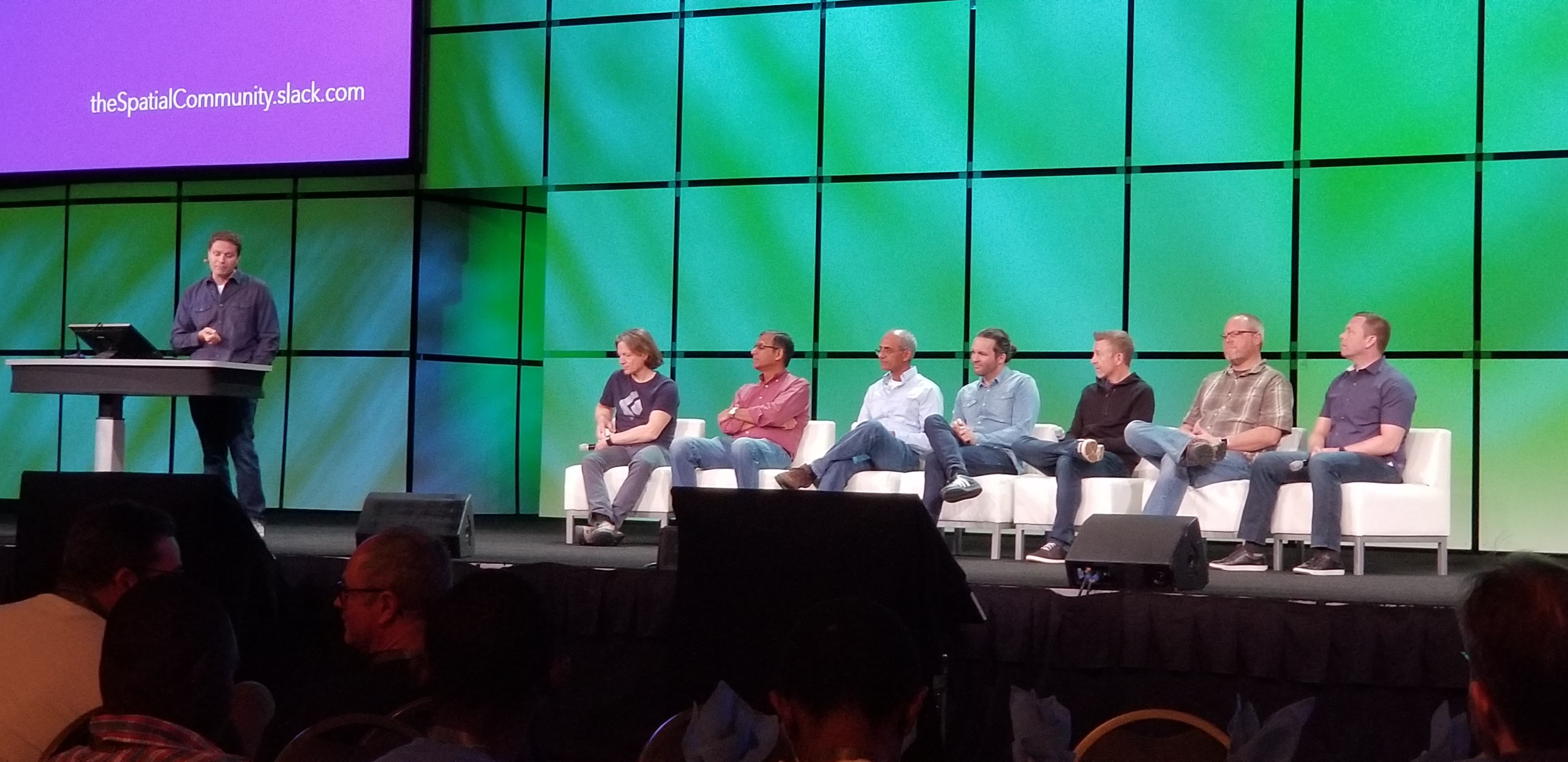
The closing session was great. Good food, great conversation, new connections, and many questions answered by the panel of speakers.  

DevSummit Closing Panel

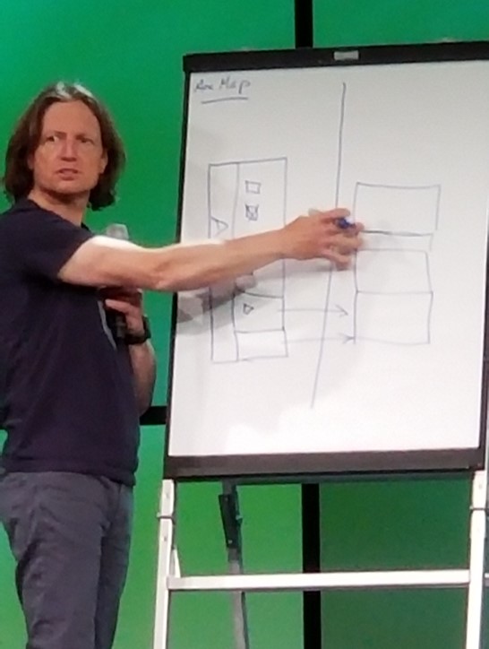
Euan Cameron is challenged to draw an ArcMap on the whiteboard

Euan Cameron was even challenged to draw an ArcMap on a whiteboard.

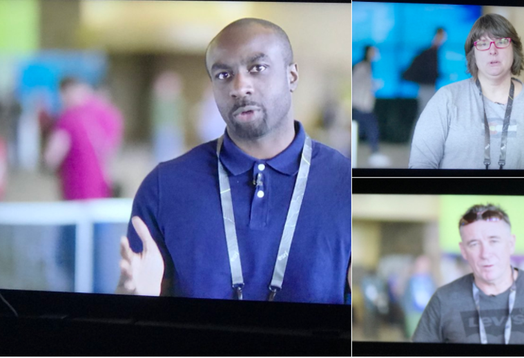
Attendees ask video questions for DevSummit Closing Q&A

Several attendees posted Q&A on social media and video while at DevSummit. 

This question had the entire panel answering. Thank you steve gourley‌ for a great question.

Slack posting for DevSummit QA 

Still have questions after DevSummit? You can post your questions below and we will help get them to the right person or group for an answer.

Your feedback, conversations, connections, and presence is truly appreciated.

more
3 0 1,130
CandaceLoya
Occasional Contributor III

The GeoNet Community tag on the wall.Did you know that today is not only an exciting day at DevSummit with User presentations, Esri Showcase activity, demos, and the Esri Thursday night party and dodge ball tournament, but it is also International Women's Day! So much happening at DevSummit 2018.

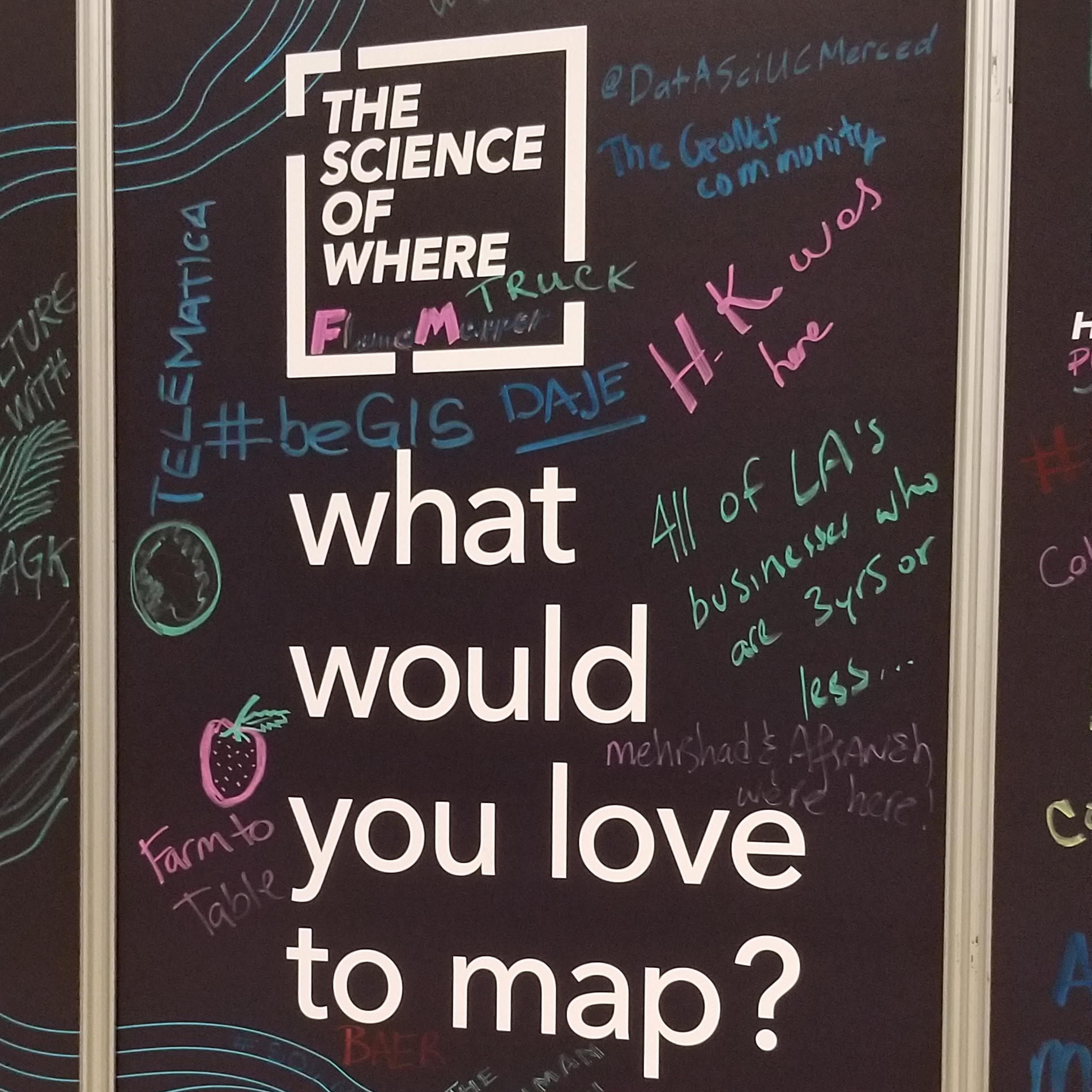
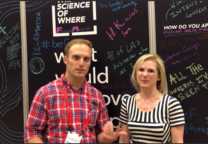
We stopped by the DevSummit signature wall to answer the question, "What would you love to map?" Chris Catania‌ added "The GeoNet Community." Did you see it?

Presenter Leah Newman‌ gave a great user presentation on "Put the "You" in UI: Creating Intuitive User Interfaces using ArcGIS and Survey123." She shared that she had no knowledge of how to use Survey123 for ArcGIS and found answers on GeoNet. In an interview with Chris Catania‌, she explains how she learned to use Survey123.

Chris Catania Interview with Leah Newman

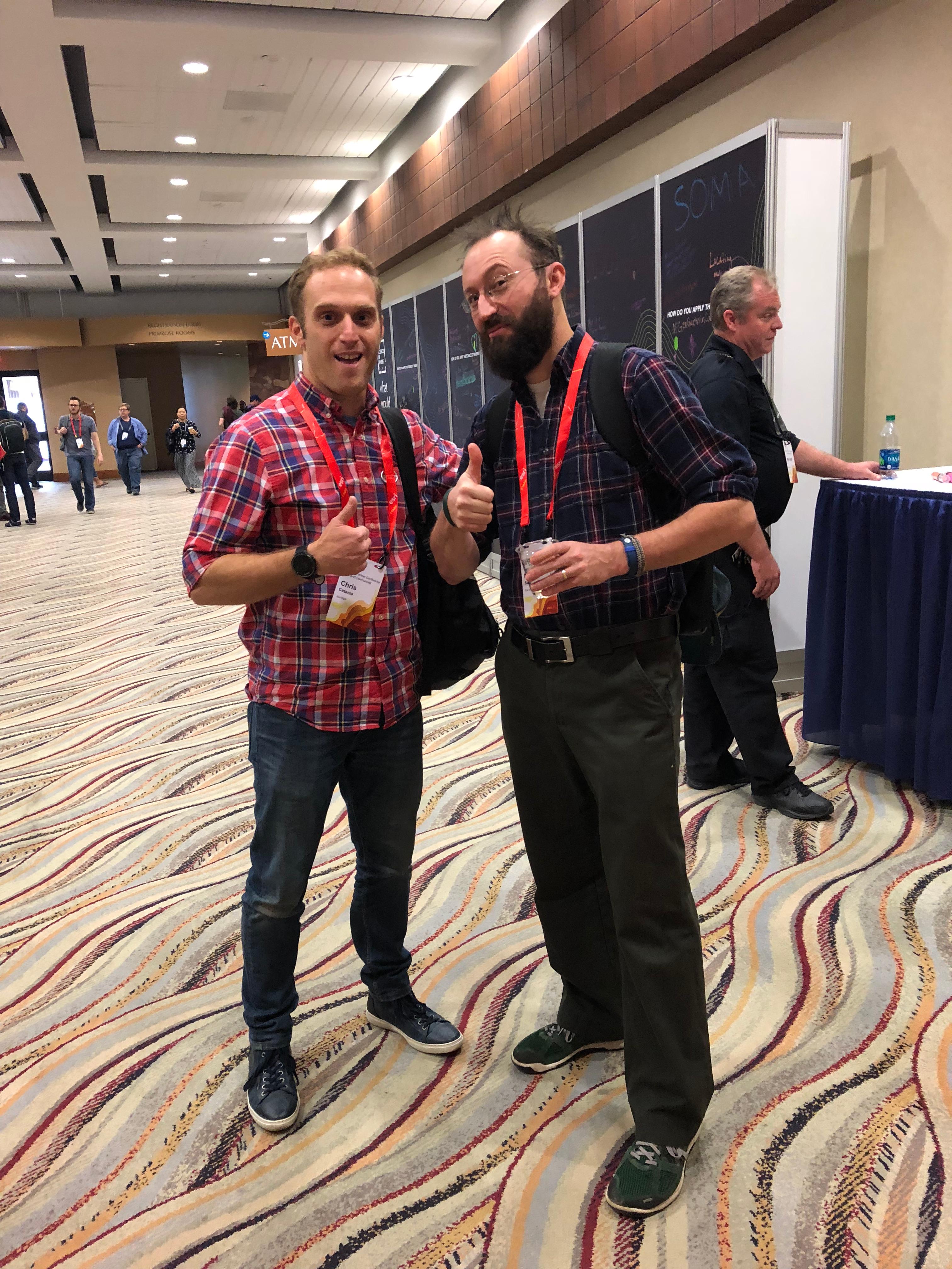
We caught a few users and GeoNet Community Members in the hall and at the booth to say "Hi."

GeoNet Fans

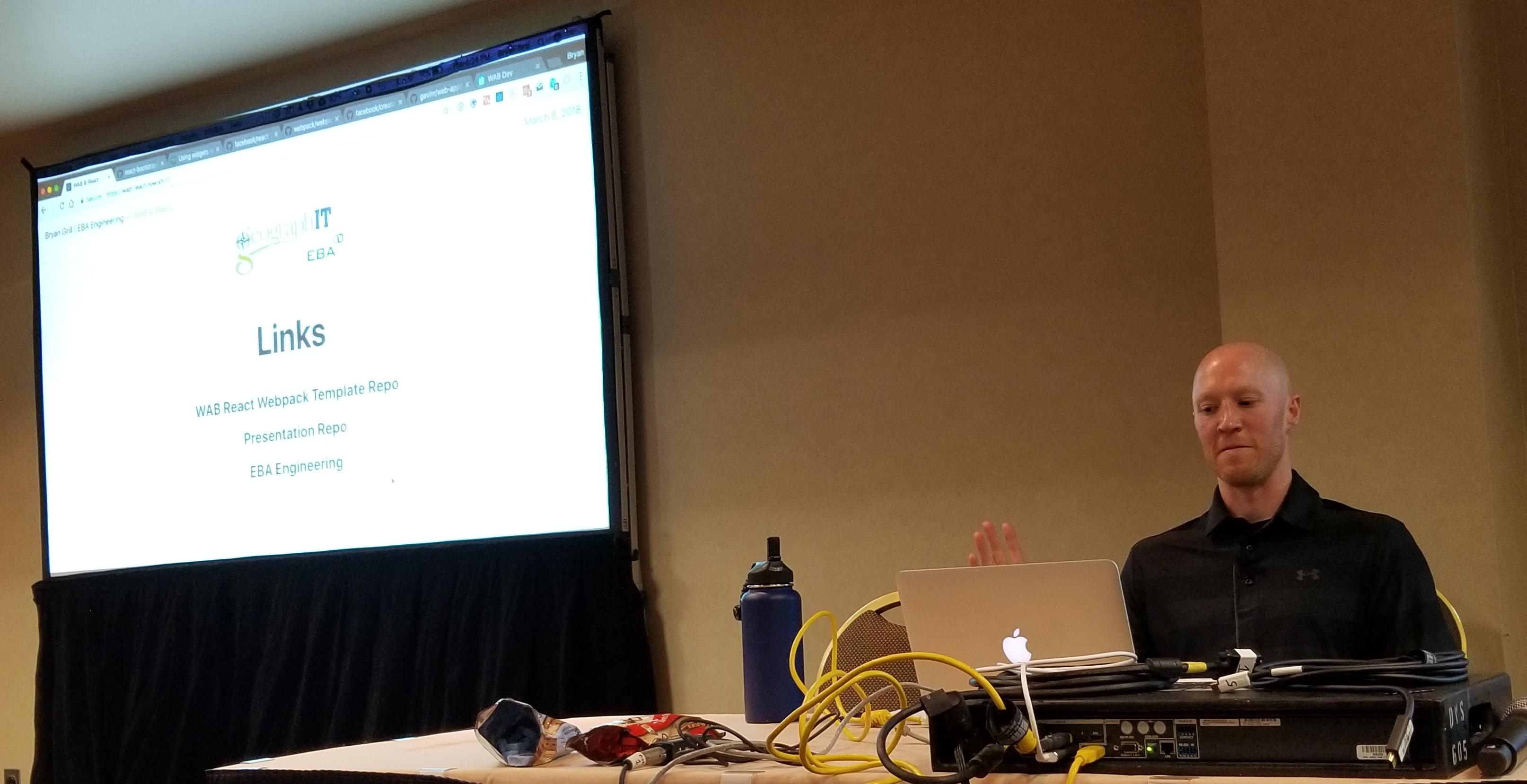
Later in the day, we listened in on the presentation from Bryan Grill - EBA Engineering on WAB & React - Develop a Web AppBuilder for ArcGIS Widget with React and Webpack. He gave a shout out to the GitHub group, React Bootstrap. He demonstrated the code used in a webpack.config.js as externals. 

Bryan Grill giving a WAB and React presentation at DevSummit

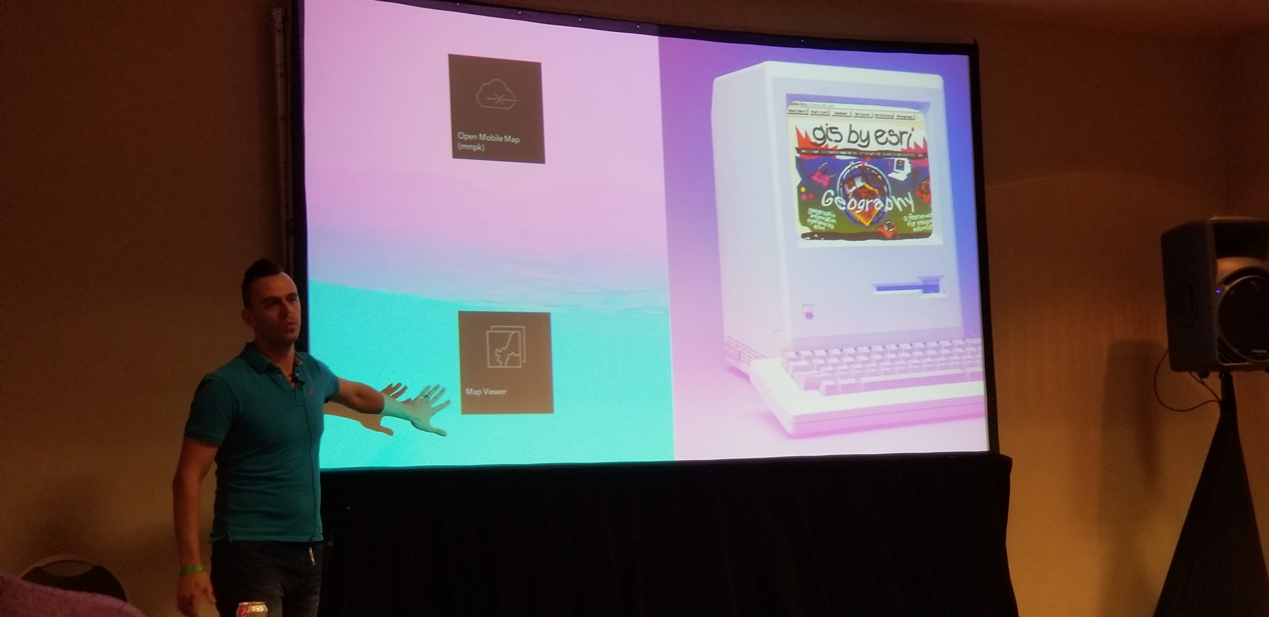
And we closed our visits with a user presentation from Adam Drackley‌ on Fully Offline Mobile Apps with AppStudio for ArcGIS. He added some humor by explaining that the image on the ancient MAC+ was the first Esri website ever. Continuing, he discussed the use of the Open Mobile Map and Map Viewer. Drackley wrapped up his presentation with the end goals to create the template application. 

Adam Drackley Demonstrates Esri Original Website

Celebrating International Women's Day, we hiked across the Palm Springs Convention Center asking women every where if we could snap there photo or video a few words. 

Finally, The Party Has Started! 

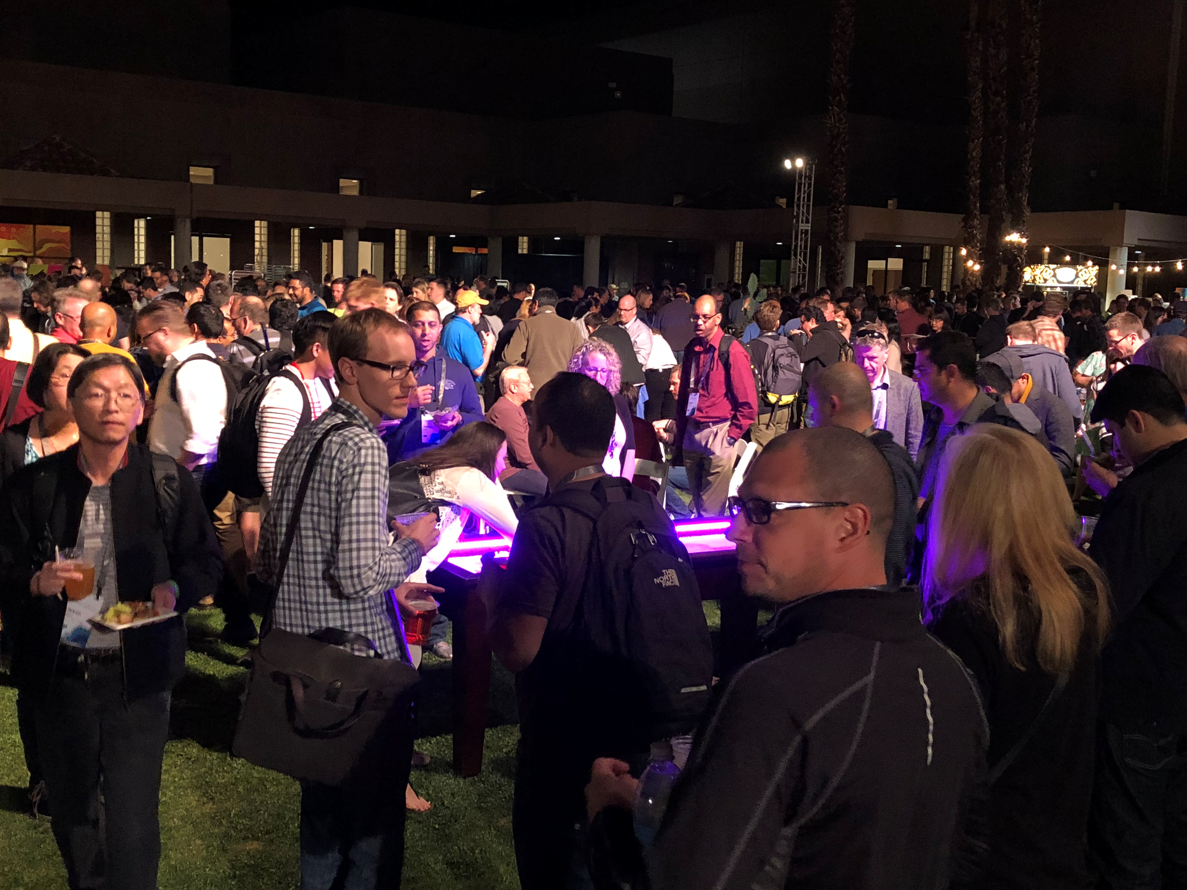
DevSummit party crowd

more
5 0 1,091
ChrisCatania
Esri Community Team


B Candace Loya


Welcome to Day Two of the GeoNet DevSummit  2018 daily updates! First up is the keynote presentation featuring Joseph Sirosh, Corporate VP, Artificial Intelligence and Research Group, Microsoft Azure 


Sirosh began his Microsoft career nearly five years ago as the VP of Information Management. His passion and understanding for the development of machine learning to improve efficiency has aided in the advancement of AI programs and development of AI products at Microsoft. Prior to his career with Microsoft he led teams at Amazon, FICO and other previous software companies seeking to improve business efficiency and customer experiences 


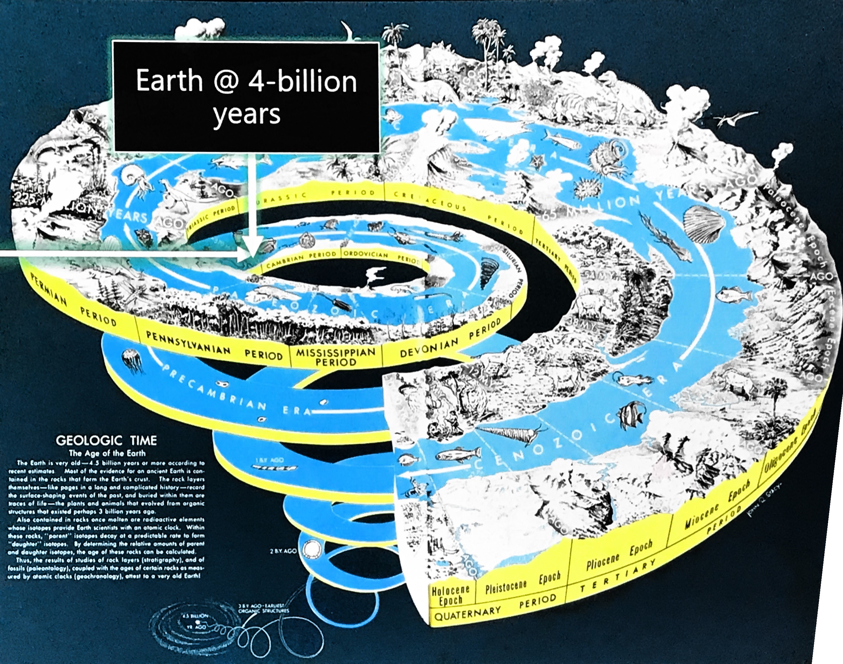
Sirosh kicks off the morning keynote session with a slide presenting Earth's evolution and the start of life as a single cell. He continues to explain how, like human life, software is evolving and will continue to evolve as we make it smarter to improve efficiencies and intelligence. 


After asking how many people in the audience are using AI he explains the definition of AI, “Artificial Intelligence is the opposite of natural stupidity.”  


Sirosh further elaborates on the Microsoft AI Platform, bringing AI to Azure and the best pieces of Azure to AI; the services, infrastructure, and tools. Things like chatbot AI is an innovation that allows for better task completion and efficiency. 


Sirosh was excited to announce the general availability of Geo AI Data Science Virtual Machine, giving data scientists easier access to AI, machine learning and data science tools. By integrating geography and location, the Science of Where, with data, data scientists can gain a new understanding of the world around them. The newGeoAI Data Science VM integrates and supports Esri ArcGIS platforms. 


Sirosh introducesLucas Joppa, Chief Environmental Scientist of Microsoft who shares how he spends most of his time trying to figure out how we can apply AI to improve life on the Earth. 

Joppa counters Captain Kirk's famous quote, “Space is the final frontier with, as he explains, “a one-sided argument of how to apply artificial intelligence to spatial data in order to change the way we, as a society, manage and ultimately think about the space all around us; or as Jack Dangermond and our friends at Esri would say, the Science of Where?” 


He continues with an explanation of how we are using machine learning to extract data in astronomy to map outer space and addresses a concern on our ability to understand and solve critical environmental challenges on Earth to sustainably manage a growing population. He explains, “that is why, from the very beginning, Microsoft has turned to Esri’s GeoSpatial Tool Kit” to teach AI computers how to collect and understand data extracted from the vast library of raster data and change how we are contributing the human experience on Earth.  


Sirosh returns to demonstrate, “How can AI help?” sharing that AI helps us understand data, learn and form conclusions from data, developing models and forming conclusions. 

Microsoft cognitive services in the Cloud include: 

  • Vision - picture, identification, optical recognizer 
  • Speech - Customizes speech to your language and domain 
  • Language translation - used to communicate with others around the world 
  • Knowledge 
  • Search - Bing search is used... 


Sirosh gives a demonstration of the AI experience using the release of the JFK records to connect how AI is used to ingest information, enrich the information with cognitive services, and translate in a way that anyone can efficiently search the information.  


Any unstructured data can be translated into understandable data,” says Sirosh. 


He introduces Omar Maher, to demonstrate how Azure AI and ArcGIS can help predict accidents.  


Omar states, “The first question we have to ask, "What would cause an accident? 

With Machine learning, we can develop a model to prep data sets, feature engineering train and evaluate models, deploy the model to production and then share the information.  


Sirosh returns to talk about interacting using Bots. Microsoft AI Platforms are capable of building sentiment applications using cognitive services 


AI is the new normal. "You touch AI every time you touch your mobile phone." 


He presents a video of how Microsoft is building an application that helps mothers communicate with their autistic children. "Helpicto" uses bots to combine language and pictures to create speech that is understood. 


Seeing AI – a talking camera app for the visually impaired, is another Microsoft application developed to see the world with AI 


Azure AI Gallery provides a large number of examples of capabilities that can be viewed. Many machine learning models are within the AI Gallery for predictive maintenance.  


Microsoft is rolling out a new program called AI for Earth. Developers with innovative solutions to use AI to advance sustainability can apply for a grant. 


Sirosh ends providing the following resources 


Questions from the audience: 


Q: Are we going to see more docker in the architecture for the AI?  

Sirosh: Docker platforms actually made it amazingly easy to containerize, not just an AI model, but also its dependencies…so you can have a very nice encapsulated object…one of the directions we are going after is to containerize AI. 


Q: I see a lot of examples of learning from images straight down, how about machine learning of obliques at an angle, 45 degree angle, 90 degree angle…?  

Sirosh: We actually have examples of that…It won’t be perfect. We can create synthetic data…and it makes it possible. 


Q: What sorts of problems would an AI not be great for exploring?   

SiroshAI is advanced statistics, it is learning statistical and problemistic models from data. If you don’t have good data it can become garbage data. Need good data. 


Q: What about using AI to take non-spatial data, and converting it to usable data?  

Sirosh: It is possible, but again, it goes back to the training data. You have to start with taking the AI to school. 


Q: Can you share your thoughts on the ethical posed by these technologies? 

Sirosh: Microsoft has a term used, FATE, Fair > Accountable > Transparent > Ethical. AI is a learning system. If the data has biases, it can be a problem. He compares it to medicine in pharmaceuticals. Prescribed versus over the counter. Must debug the data. 


Q: Last year Microsoft shut down the Photo Synth project in your lab. What does that mean? Are you rolling into something else?  

Sirosh: Today we have the vision AI…a capturing AI. We continue to launch new capabilities. 


Q: Twenty plus years ago AI and neuro networks were a very hot topic, aside from some of the wonderful computation infrastructures we have in platforms today what did you see as being some of the significant advancements in AI that we are now starting to exploit that we didn't have a while back? 

Sirosh: Mentions the he studied in neuro networks before the Neuro Net Winter started.  

Neuro networks needed tremendous amounts of data and with new learning algorithms to work. In the last 10 years, it has advanced…we now have vast amounts of dataas new things coming together to make it possible. 


Q: Between today and the next Developer Summit, what can we see improve on this current Azure Geo AI Infrastructure?  

Sirosh: I am hoping that a lot of the developers here apply AI... such as what the developer developed for autistic children and their mothers. 


What did you enjoy from the keynote? Post your comments and questions below and stay tuned for more coverage from Day Two!


more
2 0 1,018
34 Subscribers