- Home
- :
- All Communities
- :
- Developers
- :
- Developers - General
- :
- Developers Blog
- :
- Esri at FOSS4G-NA in San Diego: Focusing on Commun...
Esri at FOSS4G-NA in San Diego: Focusing on Community
- Subscribe to RSS Feed
- Mark as New
- Mark as Read
- Bookmark
- Subscribe
- Printer Friendly Page
- Report Inappropriate Content
Article contributed to and authored by Satish Sankaran, Max Payson, and Amy Niessen
Last week, the FOSS4G community landed in San Diego for its 2019 North American conference. Esri participated in the event as a silver sponsor and, given its proximity to Esri’s home base in Redlands, many employees were able to attend. FOSS4G is an amazing event for developers and GIS geeks interested in emerging technologies, so we were excited to share our projects and to engage with thought leaders in the geospatial community.
The event kicked off with lightning talks and networking events, which dovetailed into devoted presentations and workshops. While it had a developer focus, many of the presentations provided gentle introductions to hot topics – AI/ML, blockchain, microservices, containers, and serverless computing were all covered. Presenters discussed how these buzzwords can help scale storage, compute, and insight to solve increasingly complex challenges. Many presentations were also grounded by real-world projects, from disseminating 14 trillion USGS LIDAR points to achieving the UN’s sustainable development goals.
Colleagues from Esri shared their work with presentations at the event from Atma Mani presenting "Let's Take the Machines House Hunting" using Python and Jupyter Notebooks, Thomas Maurer presenting "LERC - Fast Compression of Images and Tensors", highlighting low-level libraries like LERC for raster compression, and Tamrat Belayneh presenting "I3S - An Open Standard to Bring 3D to Web, Desktop, and Mobile Platforms", introducing the OGC community standard I3S spec. We also appreciated hearing Howard Butler acknowledge our contributions to the GDAL Coordinate System barn-raising effort in his presentation. As an important vendor in the GIS space, we are happy support fundamental initiatives like these that help build core libraries used extensively by the community.
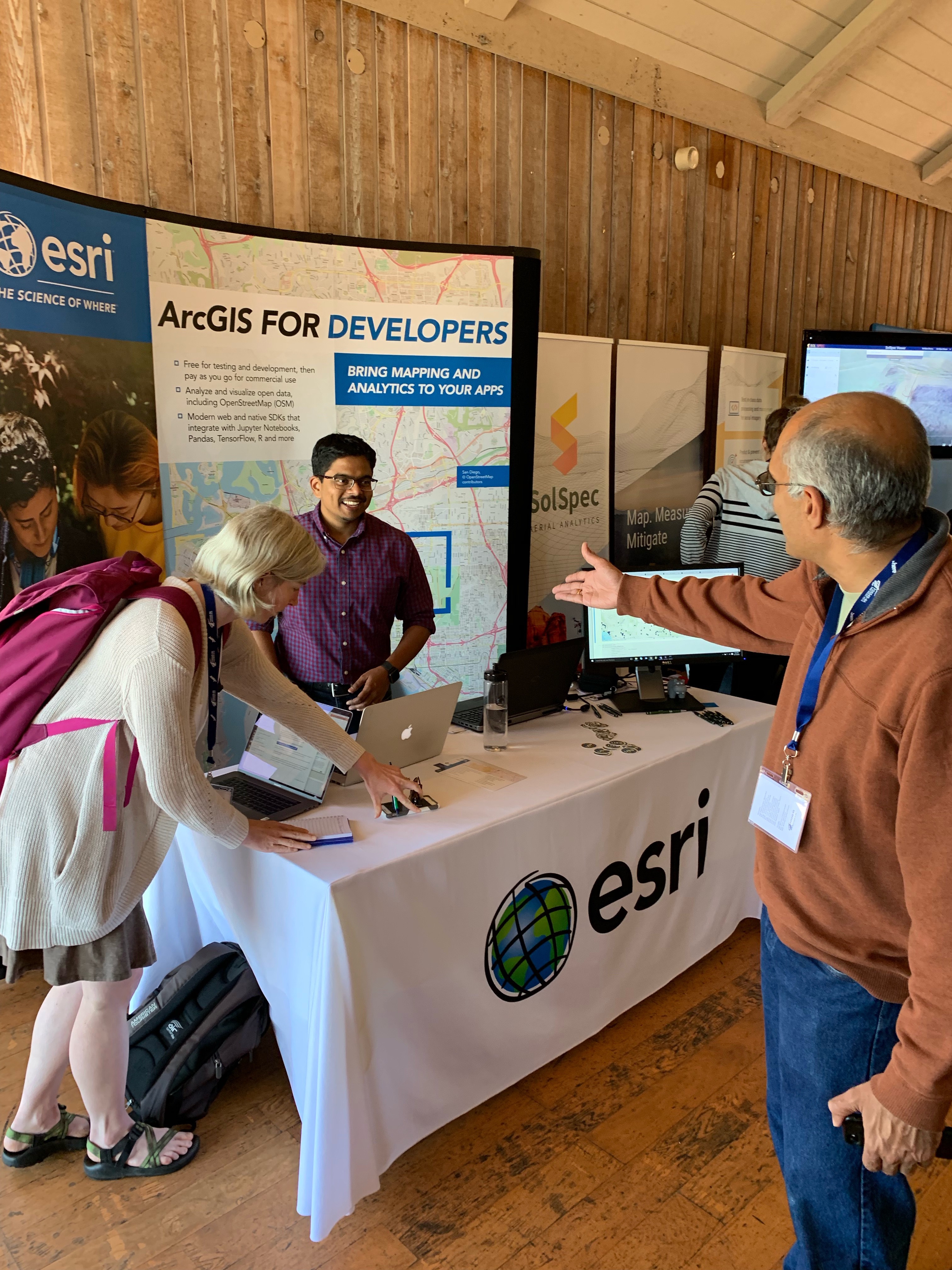
While many attendees were familiar with Esri software and some even active users, at the Esri booth, the conversations extended beyond traditional ArcGIS workflows often discussed at Esri events. We enjoyed learning from others’ diverse perspectives and expertise, and it was reassuring to see community validation regarding steps we are taking in the areas of 3D, interoperable data science, and with our Developer program. Esri continues to push forward on its Open Platform vision – a vision that includes support for standards, interoperability, open data and open source. And, we are constantly looking for better ways to engage with developers and support their work.
While large software business may share complex relationships with the open source world, Esri’s role in the GIS realm has always been community focused. We hope to continue to grow the community of GIS users and developers and FOSS initiatives are an important subsystem contributing to this growth.
You must be a registered user to add a comment. If you've already registered, sign in. Otherwise, register and sign in.