- Home
- :
- All Communities
- :
- Products
- :
- Data Management
- :
- Data Management Questions
- :
- When automatically aligning edges of polygons what...
- Subscribe to RSS Feed
- Mark Topic as New
- Mark Topic as Read
- Float this Topic for Current User
- Bookmark
- Subscribe
- Mute
- Printer Friendly Page
When automatically aligning edges of polygons what prevents some mismatches to be missed?
- Mark as New
- Bookmark
- Subscribe
- Mute
- Subscribe to RSS Feed
- Permalink
- Report Inappropriate Content
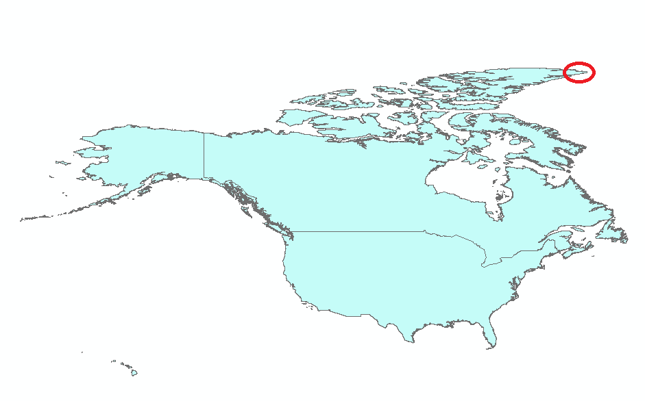
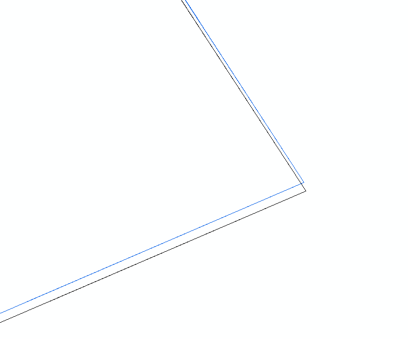
I have been edge matching country boundary files using Python which was created by someone from the organization (I'm not a Python Programmer myself). It is the same Python script used for all other countries and it always works fine. Also, the parent boundaries I'm using come from the world map we use for all countries. For some reason, the script did not catch some tiny mismatches for US and Canada shapefiles. I wonder what could be preventing the script from detecting these misalignment. The red circle is where the zoomed section come from.
Also, the files are in geographic coordinate system (GCS_WGS_1984).
Thanks,
Majory
- Mark as New
- Bookmark
- Subscribe
- Mute
- Subscribe to RSS Feed
- Permalink
- Report Inappropriate Content
can you provide a visual example? I can think of cases where the boundaries are created by different people and/or sources and the densification level is different between them. This would leave slivers and/or overlaps. This may also be exaggerated when the boundaries were originally in geographic coordinates then projected. Picture a rectangle with 4 corners in geographic coordinates... If that feature is projected (say to UTM) the bottom and the top of the rectangle will remain linear instead of being curved to reflect the lack of densification along the parallels (lines of latitude). If a rectangle just below it, has densified boundaries, the densification will provide an approximation of the appropriate shape, but when looking the shared boundaries, there will appear to be a gap