Turn on suggestions
Auto-suggest helps you quickly narrow down your search results by suggesting possible matches as you type.
Cancel
- Home
- :
- All Communities
- :
- Products
- :
- Data Management
- :
- Data Management Questions
- :
- Re: Problem creating Web Mercator Auxilary feature...
Options
- Subscribe to RSS Feed
- Mark Topic as New
- Mark Topic as Read
- Float this Topic for Current User
- Bookmark
- Subscribe
- Mute
- Printer Friendly Page
Problem creating Web Mercator Auxilary feature class
Subscribe
928
3
06-07-2010 08:10 AM
06-07-2010
08:10 AM
- Mark as New
- Bookmark
- Subscribe
- Mute
- Subscribe to RSS Feed
- Permalink
- Report Inappropriate Content
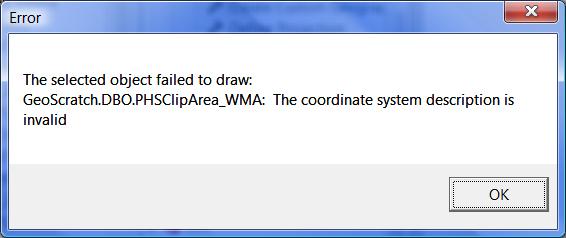
We are building a Web application in Javascript that lets a user digitize a polygon that we use to clip data. The application uses WGS_1984_Web_Mercator_Auxiliary_Sphere. Using Python I take the Fetaure Set passed by the application and turn it into a permanent feature class and assign the projection to WGS_1984_Web_Mercator_Auxiliary_Sphere. When I try to look at the feature class I get the following error message:
Error
The selected object failed to draw:
GeoScratch.DBO.PHSClipArea_WMA: The coordinate system description is invalid
I'm able to reproject the feature class which works without any problems.
Any ideas?
Error
The selected object failed to draw:
GeoScratch.DBO.PHSClipArea_WMA: The coordinate system description is invalid
I'm able to reproject the feature class which works without any problems.
Any ideas?
3 Replies
11-03-2010
03:53 PM
- Mark as New
- Bookmark
- Subscribe
- Mute
- Subscribe to RSS Feed
- Permalink
- Report Inappropriate Content
I'm getting this too. Did you ever solve it?
Thanks
- Leo
Thanks
- Leo
11-19-2010
05:30 AM
- Mark as New
- Bookmark
- Subscribe
- Mute
- Subscribe to RSS Feed
- Permalink
- Report Inappropriate Content
Same thing here. Does anyone have a solution to this?
MC
MC
04-19-2011
09:39 PM
- Mark as New
- Bookmark
- Subscribe
- Mute
- Subscribe to RSS Feed
- Permalink
- Report Inappropriate Content
I got the same error in Arc10 when trying to view the data stored with WM in SQL2008. However, when I added data of non-WM in my mxd file and set the data frame coordinate system to WM, there was no error in viewing the data in ArcMap. Does that suggest we shouldn't store data with WM? But the on-the-fly projection will slow down the AGS performance.
In the ESRI WM brochure (http://www.esri.com/events/seminars/bettermaps/materials/pdfs/webmercator-smnr-brochure.pdf), this is the first question in FAQ.
I am wondering why using the Web Mercator projection is not recommended for ArcGIS Desktop users. Does this have anything to do with the error of the invalid coordinate system description?
Thanks
In the ESRI WM brochure (http://www.esri.com/events/seminars/bettermaps/materials/pdfs/webmercator-smnr-brochure.pdf), this is the first question in FAQ.
1. Do I always need to reproject my data?
No. ArcGIS Desktop can project all data on the fly; therefore, it is not necessary to change the projection of your data if you are sharing it with other ArcGIS Desktop users. However, if you are not sharing your data with ArcGIS Desktop users, using the Web Mercator projection is recommended.
I am wondering why using the Web Mercator projection is not recommended for ArcGIS Desktop users. Does this have anything to do with the error of the invalid coordinate system description?
Thanks