Turn on suggestions
Auto-suggest helps you quickly narrow down your search results by suggesting possible matches as you type.
Cancel
- Home
- :
- All Communities
- :
- Products
- :
- Data Management
- :
- Data Management Questions
- :
- Re: Imported raster won't align with existing shap...
Options
- Subscribe to RSS Feed
- Mark Topic as New
- Mark Topic as Read
- Float this Topic for Current User
- Bookmark
- Subscribe
- Mute
- Printer Friendly Page
Imported raster won't align with existing shapefile - crs is the same
Subscribe
819
1
08-24-2018 06:52 AM
08-24-2018
06:52 AM
- Mark as New
- Bookmark
- Subscribe
- Mute
- Subscribe to RSS Feed
- Permalink
- Report Inappropriate Content
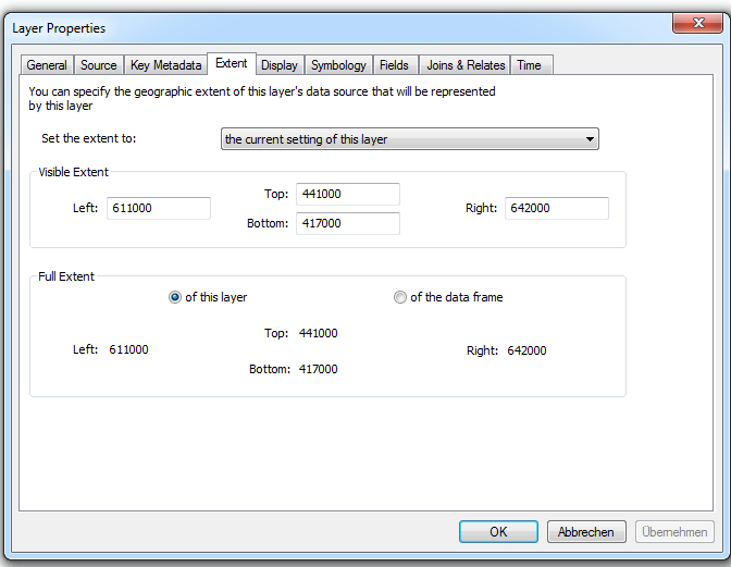
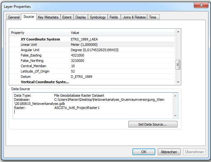
I'm trying to make a raster layer with climate data align to my shapefiles I'm working with, but no matter what I try it won't work. The raster is projected correctly but far away from the shapefiles and has different coordinates.
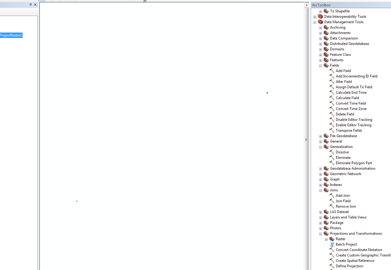
When importing the raster layer from an ASCII file it's displayed correctly but the location is wrong. I tried the Project Raster and the Define projection Tool, but neither worked.
I attach the info of the layers and a screenshot of the distance.
Many thanks in advance!
1 Reply
08-24-2018
07:14 AM
- Mark as New
- Bookmark
- Subscribe
- Mute
- Subscribe to RSS Feed
- Permalink
- Report Inappropriate Content
Hi Marion,
Even though the raster dataset has a coordinate system, it may still need to be georeferenced. See the following document that describes how to do this:
Fundamentals of georeferencing a raster dataset—Help | ArcGIS for Desktop