- Home
- :
- All Communities
- :
- Products
- :
- Data Management
- :
- Data Management Questions
- :
- Re: I have LAZ data and need to convert it to las ...
- Subscribe to RSS Feed
- Mark Topic as New
- Mark Topic as Read
- Float this Topic for Current User
- Bookmark
- Subscribe
- Mute
- Printer Friendly Page
I have LAZ data and need to convert it to las format.......
- Mark as New
- Bookmark
- Subscribe
- Mute
- Subscribe to RSS Feed
- Permalink
- Report Inappropriate Content
- Mark as New
- Bookmark
- Subscribe
- Mute
- Subscribe to RSS Feed
- Permalink
- Report Inappropriate Content
pdal is excellent in my experience (admittedly limited to ~40 hours so far), but it can't read zLAS and there's little appetite to add that from the core team (ref). They'll accept contribution from anyone who wants to do the work though.
- Mark as New
- Bookmark
- Subscribe
- Mute
- Subscribe to RSS Feed
- Permalink
- Report Inappropriate Content
You are not correct in your statement about "the rapidlasso guy". He does not speak of the evils of "closed source". He speaks of the evils of "closed formats" especially when forced down the throat of a community by the mere market dominance of a company. Prior to the "LAZ clone" fiasco he was quite friendly with Esri as he is with many other closed source companies. What business model Esri uses to operate in the software business was never his beef with them. But Esri using their dominant role to push a closed LiDAR format and thereby making it impossible for other software to directly exploit this #LiDAR data, that is what he and others were critiquing. He writes both open and closed source software. As long as the formats are open both business models can live side by side in harmony.
Below an image and a quote from ESRI’s ArcNews Spring 2011 news letter about the importance of open formats, standards, and specifications. This is discussed in more detail in this blog post. 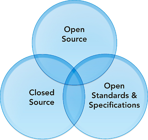
“Esri continues to advocate the need for open access to geographic data and functionality through support for widely adopted and practical standards and specifications. Esri follows an open system strategy for accessing and using geographic data and functionality.” — ArcNews, Spring 2011
- Mark as New
- Bookmark
- Subscribe
- Mute
- Subscribe to RSS Feed
- Permalink
- Report Inappropriate Content
Agree 100%, I stand corrected.
I remember that lengthy gap when agencies started publishing file geodatabases and I had no way to read them. Then ESRI published binaries instead of specs, and only for later versions of FGDB so I still had no way to read them.
With LiDAR it's especially painful because of the time and space required to unformat LAZ -> LAS and then reformat LAS -> zLAS
It is slowing my adoption of the technology by making it easier to compromise and use lower res DEMs.
- Mark as New
- Bookmark
- Subscribe
- Mute
- Subscribe to RSS Feed
- Permalink
- Report Inappropriate Content
I know this post is over 3 years old, but I'm wondering how others have installed PDAL? I've tried installing via Conda, creating a .pth file to link to the installed module, and then importing but receive the following error. Any ideas as to what I might be doing wrong? Thanks!

- « Previous
-
- 1
- 2
- Next »
- « Previous
-
- 1
- 2
- Next »