- Home
- :
- All Communities
- :
- User Groups
- :
- Coordinate Reference Systems
- :
- Questions
- :
- What does the DGGS mean?
- Subscribe to RSS Feed
- Mark Topic as New
- Mark Topic as Read
- Float this Topic for Current User
- Bookmark
- Subscribe
- Mute
- Printer Friendly Page
What does the DGGS mean?
- Mark as New
- Bookmark
- Subscribe
- Mute
- Subscribe to RSS Feed
- Permalink
- Report Inappropriate Content
Interesting news from the OGC that the Discrete Global Grid System has been approved. Read more about it here:
OGC announces a new standard that improves the way information is referenced to the earth | OGC
What does this mean for us as GIS folk and how (and when) will we be able to make use of it? In fact, is it already available in ESRI software? Is this the end of the Web Mercator? What about threed? So many questions.
Discuss 
- Mark as New
- Bookmark
- Subscribe
- Mute
- Subscribe to RSS Feed
- Permalink
- Report Inappropriate Content
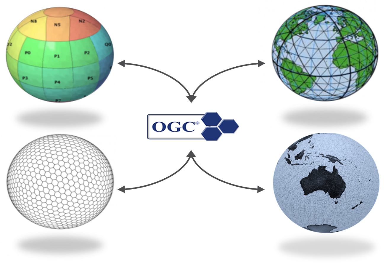
As this new system was only announced yesterday these are all valid questions that should be explored further. I must admit I am still trying to clarify the system in my mind and this additional information on the OGC website that will be of interest. I understand that this system redefines a grid to better comply with spherical geometry (i.e. the surface of the Earth) where a traditional grid is a simple array of rectangles this new grid will try to minimise the alterations in grid shape based on scale. You will have noticed the new grid contains a system of hexagons. These hexagons form a hierarchical tessellation of the entire Earth to produce equal-area grids.
I hope this document will start to explain the system further and I see that ESRI was involved with the OGC in the making of this system so I would hope to hear from them at some point.
- Mark as New
- Bookmark
- Subscribe
- Mute
- Subscribe to RSS Feed
- Permalink
- Report Inappropriate Content
Thanks Simon. I was not asking specific questions for myself but aiming to start awider discussion of what effect DGGS will have. It's certianly an exciting development and thank you for your post. The more information the better at this stage
Cheers,
Oliver
- Mark as New
- Bookmark
- Subscribe
- Mute
- Subscribe to RSS Feed
- Permalink
- Report Inappropriate Content
it seems to focus on showing parts of earth seamlessly, with little to no information on how the locational information will be used in analysis that requires coordinates to perform calculations (ie distance direction). Perhaps its focus is on visualization.
- Mark as New
- Bookmark
- Subscribe
- Mute
- Subscribe to RSS Feed
- Permalink
- Report Inappropriate Content
I'm not sure of the specifics but I read that you will be able to translate cell addresses to other coordinate reference systems...so I understand that one might do geospatial analysis and then convert the results into a DGGS to visualize information essentially where each cell will be equal in area.
- Mark as New
- Bookmark
- Subscribe
- Mute
- Subscribe to RSS Feed
- Permalink
- Report Inappropriate Content
In many ways it reminds me of a hexagonal what3words.
- Mark as New
- Bookmark
- Subscribe
- Mute
- Subscribe to RSS Feed
- Permalink
- Report Inappropriate Content
Yeah, I see what you mean...I wonder if W3W could be incorporated into a DGGS?
- Mark as New
- Bookmark
- Subscribe
- Mute
- Subscribe to RSS Feed
- Permalink
- Report Inappropriate Content
Hexagons and squares = apples and oranges? But that said this has partly been born out of raster / vector interoperability. I wonder how fine the finest hexagons are?
- Mark as New
- Bookmark
- Subscribe
- Mute
- Subscribe to RSS Feed
- Permalink
- Report Inappropriate Content
Apparently, it is independent of scale...however I think there might be limits in a practical sense.
- Mark as New
- Bookmark
- Subscribe
- Mute
- Subscribe to RSS Feed
- Permalink
- Report Inappropriate Content
From this site:
OGC 15-104r5: AS Topic 21: DGGS
A DGGS can even be designed for lossless encoding of vector geometry such that cells, and their integer addressing, predictably converge to the Real number coordinate pairs of each observation with each successive refinement – an essential property of a conventional coordinate system.
Swiftly followed by:
Reducing the reliance on an intermediary integrator or analyst is a key requirement for distributed participatory digital-Earth information systems.
Eeek, also a key revenue stream