- Home
- :
- All Communities
- :
- User Groups
- :
- Conservation GIS
- :
- Documents
- :
- Scgis 2019 Opening Session and Keynote
- Subscribe to RSS Feed
- Mark as New
- Mark as Read
- Bookmark
- Subscribe
- Printer Friendly Page
Scgis 2019 Opening Session and Keynote
Scgis 2019 Opening Session and Keynote
SCGIS_2019_Proceedings
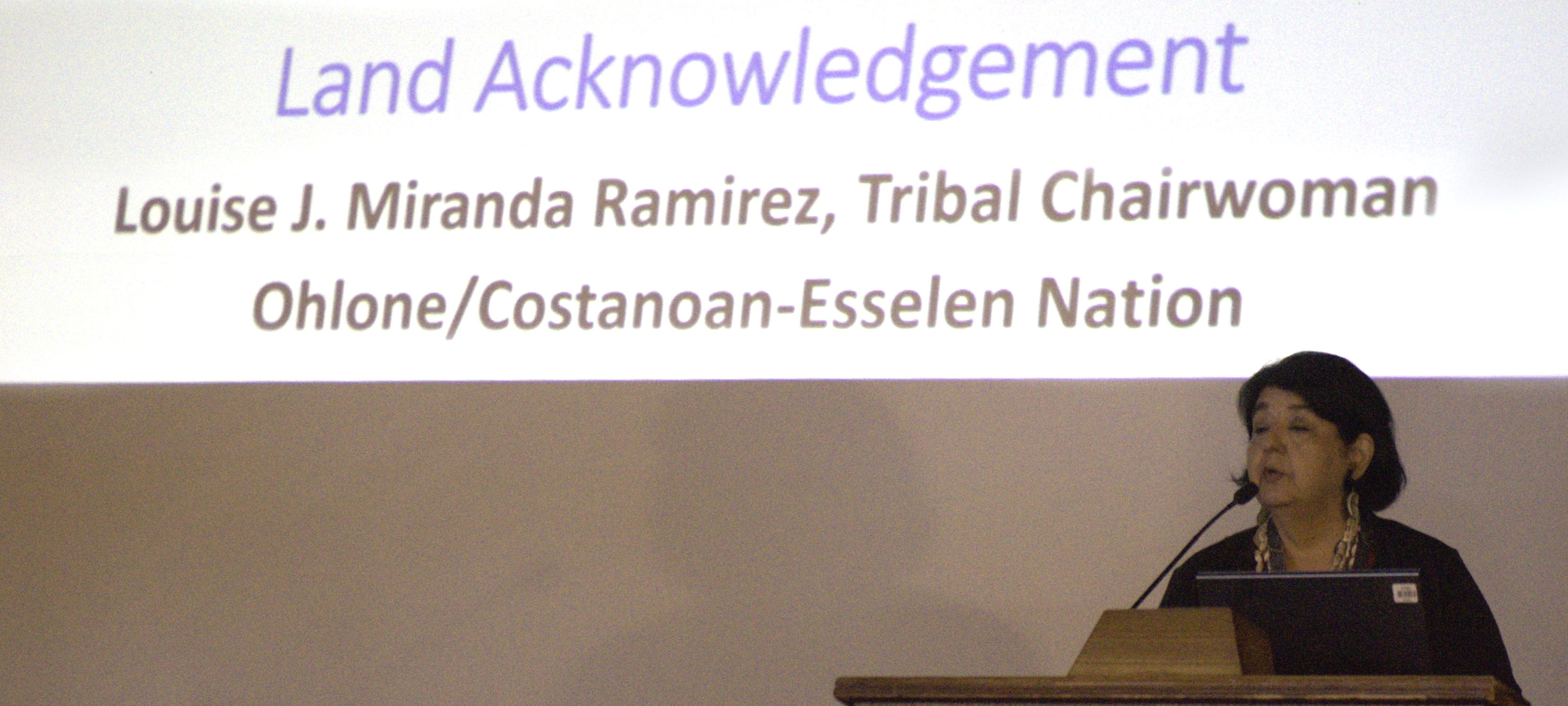
Land Acknowledgement - Louise J. Miranda Ramirez, Tribal Chairwoman, Ohlone/Costanoan-Esselen Nation (photo Adin Snyder)
Welcome - Janet Nackoney, SCGIS President:
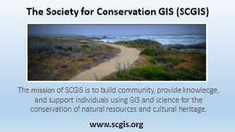
(From the 2019 Conference Agenda Welcome Message): "The Society for Conservation GIS (SCGIS) Board of Directors is excited to welcome you to our 2019 SCGIS Annual Conference! Since 1997, SCGIS has proudly served the conservation GIS community by connecting, strengthening, and empowering conservation GIS  practitioners with scholarships, training, networking events, and knowledge sharing opportunities. We have taken pride in being the only organization that directly serves conservation GIS practitioners. Our Annual Conference is an extremely unique opportunity to bring together and connect our international community. This year’s Annual Conference theme focuses on “Bridging the Nature-Human Divide.” Our theme encourages us to explore our connections with the natural world, address growing environmental challenges like global climate change and species extinction, and find ways to strengthen our connection to nature. As conservation geographers and GIS practitioners, we have an opportunity to forge new paths in this realm using our spatial analysis and map-making skills by helping to protect wildlife, developing strategies to build greener cities, working with local communities to sustainably manage their natural resources, and monitoring environmental change. Our conference’s keynote speaker, Mr. Robin Grossinger, Senior Scientist at the San Francisco Estuary Institute and Co-director of the Resilient Landscapes program, will share his efforts to reintegrate natural processes within highly modified landscapes in California in order to create healthier and more adaptive neighborhoods, cities, and surrounding landscapes. This conference will also provide an opportunity to gather together approximately seventeen participants in the SCGIS Train-the-Trainer (TTT) program. These outstanding individuals who come from all over the world, have attended previous SCGIS conferences as part of the SCGIS International Scholarship Program. They have each taken initiative to further develop their technical and teaching abilities through this unique SCGIS training program so that they may train others in their region. As part of this year’s program, the TTT participants will receive training at Esri’s headquarters in Redlands and at the University of California, Davis. Through this program, SCGIS is proud to engage in developing a worldwide footprint of conservation GIS training capacity and community support! I am happy that you have chosen to spend part of this week sharing, learning, and engaging with the SCGIS community. I hope that you spend your time learning new skills and knowledge through a variety of scheduled technical workshops and presentations, meeting your fellow attendees at our social gatherings, and taking time to enjoy the natural beauty of Asilomar. Thank you for your support of SCGIS!" (photo Alejandro Ruben Vila )
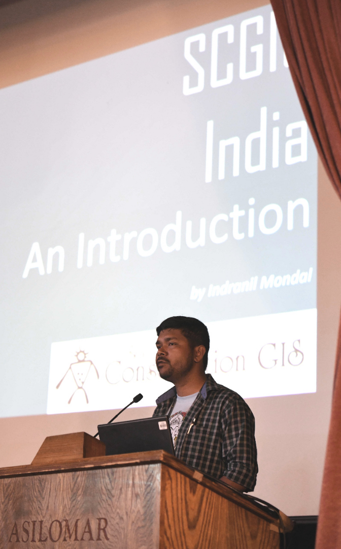
SCGIS India Chapter - Indranil Mondal (photo C. Convis)

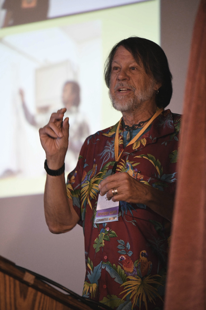
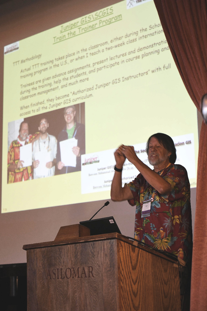
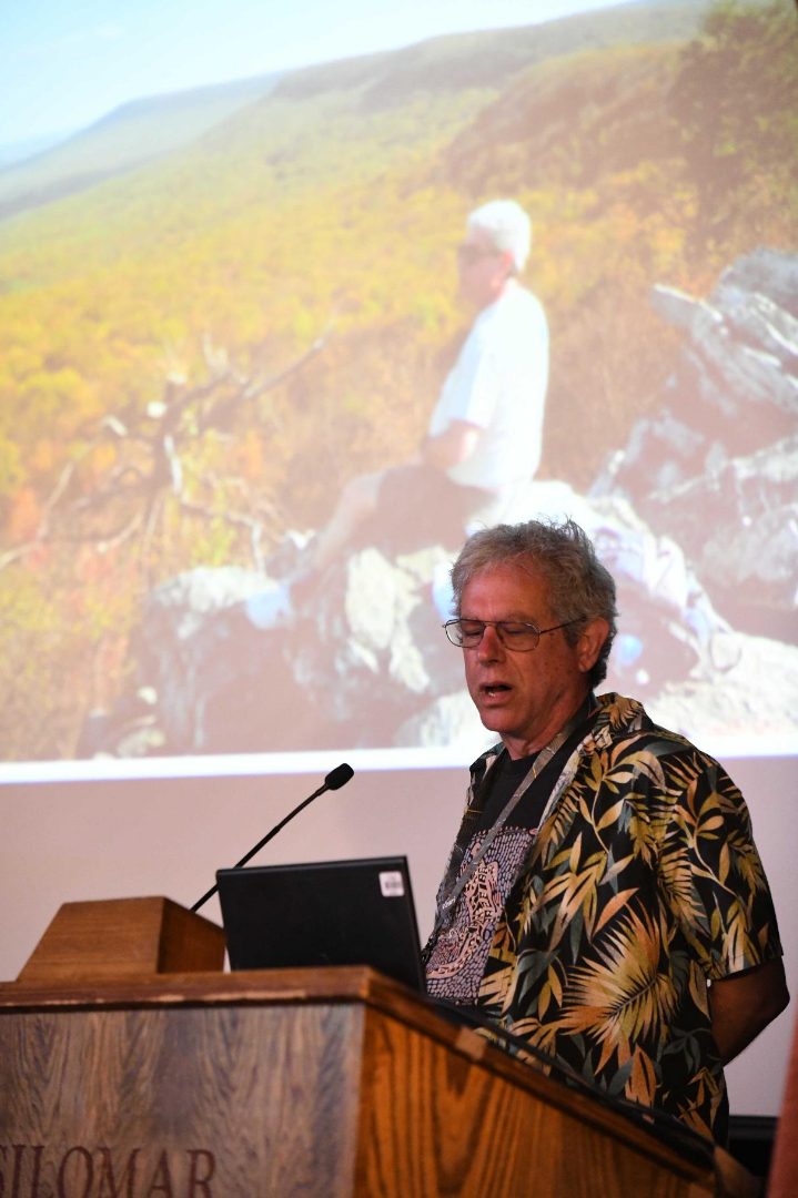
SCGIS Train-the-Trainer (TTT) Program - John Schaffer, Mervyn Lotter, and Karen Beardsley (photo C. Convis)


In Memoriam: Andy Weiss (from brother Stu) (photos C. Convis & Stu Weiss)
Andy was a geospatial scientist of the highest caliber, and he was a stalwart of SCGIS since the early years. He graduated from the University of Pennsylvania in the early 1980s and went to work in the computer industry, programming the first harddrive controller for the IBM XT (literally stringing together the ones and zeros in machine language). Nothing about computers fazed him. But his first love was archeology. He would alternate high paying computer jobs with field stints in the Philippines, Syria, Turkey, Honduras, and most of all Thailand (where he spent nine field seasons), living for months in small villages immersed in the local culture and cuisine. His custom field mapping system, combining a Total Station with a Mini-CAD system, streamlined the often tedious work of archeological digs and he 
was in great demand. In 1991, the Stanford Center for Conservation Biology, headed by Paul Ehrlich, received one of the first ESRI Conservation Grants - ARC/INFO 4.0 software and a smoking hot Sun SPARC 2 workstation (with less computing power than the phones in our pockets!). We had the software and hardware, but needed the “wetware.” I recruited Andy into the lab, at the risk of setting up a fratricidal situation. Andy was a non-traditional choice, without direct experience in ecology. But as he put it “No problem, the nouns are different but the verbs are the same.” He fearlessly ran the UNIX system and command line ARC/INFO, and over five years supported my dissertation research on the Bay checkerspot butterfly, among many other projects by lab members. The legacy of the CCB GIS lab can be found throughout the conservation community.
All in the Family: In 1993, Lisy Torregrosa and I had collected vegetation data in the Spring Mountains outside of Las Vegas to support a butterfly inventory. In the lab, the three of us were looking at the DEM and realized we needed a variable to differentiate ridges and valley bottoms. “Well, valleys are below the surrounding terrain, and ridges and peaks above.” Brilliant insight! We subtracted the elevation of each grid cell from the mean elevation in variable neighborhoods around it, and it looked good! And it was highly significant in the multivariate ordination of the veg data. Thus was born the widely used Topographic Position Index (TPI), and Andy has the most highly cited ESRI Conference poster in history. After five years at Stanford, he took a 2-year sabbatical in Thailand then returned to the US for a series of spatial analyst positions finally ending up in Olympia WA with Washington State Department of Fish and Wildlife for 7 years. His legacy there includes the official NHD stream map of the state, with associated analytical tools. In fall 2017, Andy experienced a manic breakdown from late-onset Bipolar Disorder. We lost Andy to the ravages of the disease in June 2019. As members of his SCGIS tribe, we can honor his memory at the auction by digging deep and contributing the “The Consortium” to bid on the exotic bottle of booze to drink around the bonfire.
Keynote Address - Robin Grossinger (photos C. Convis)

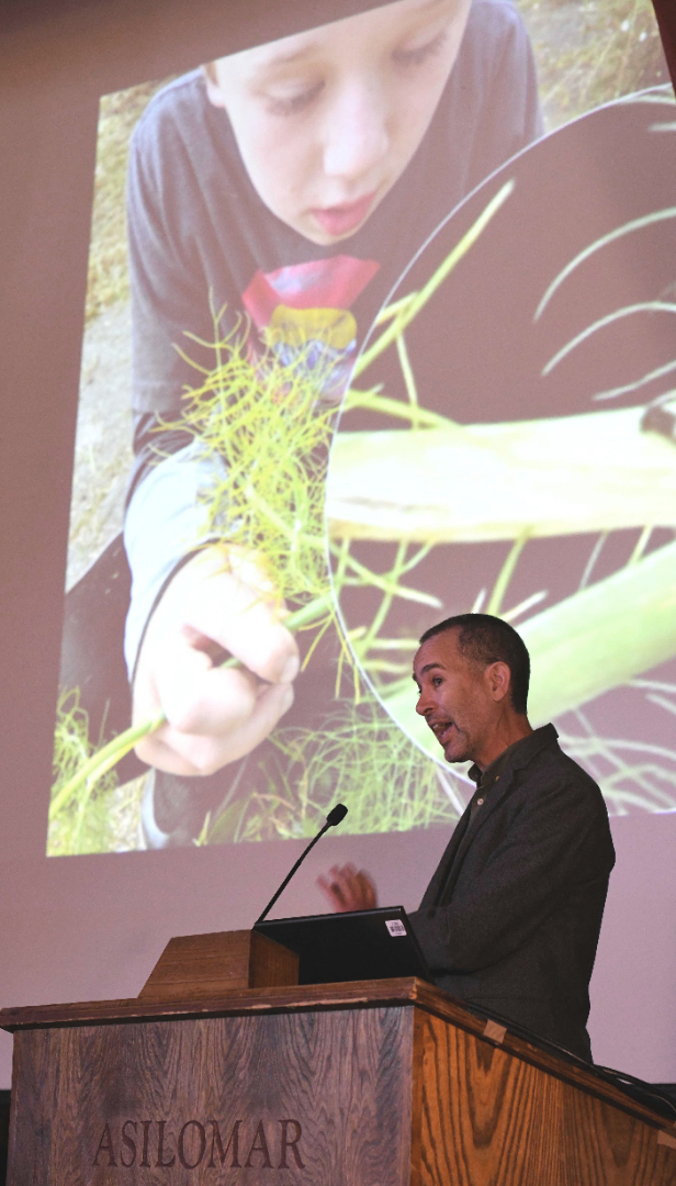


Robin Grossinger is a Senior Scientist at the San Francisco Estuary Institute, where he co-directs, with Letitia Grenier, SFEI’s Resilient Landscapes program. For over twenty years, Robin has analyzed how California landscapes have changed since European contact, using these data to guide landscape-scale restoration strategies. Robin leads efforts throughout the state to reintegrate natural processes within our highly modified landscapes, creating healthier and more adaptive neighborhoods, cities, and surrounding landscapes. He has advised restoration strategies for San Francisco Bay, the Sacramento-San Joaquin Delta, urban landscapes such as the Google campus, and rivers throughout California. Robin’s innovative work to synthesize history and science has been acclaimed for helping scientists, managers, and the public appreciate both the dramatic transformation and the impressive resilience of the state’s ecosystems. Robin’s publications include the Napa Valley Historical Ecology Atlas (University of California Press 2012) and his work has been featured by NPR, KQED’s QUEST, Saving the Bay, and The New York Times. Recently he has led the development of SFEI’s Landscape Resilience Framework, which is guiding regional adaptation efforts. Among his popular science communication efforts, Robin served as a guest curator for the award-winning multi-disciplinary exhibit on San Francisco Bay, “Above and Below”, at the Oakland Museum of California. He has been recognized with a Local Hero award from Bay Nature magazine and the Carla Bard Bay Education Award from The Bay Institute and Aquarium of the Bay.
-
 Anonymous User