- Home
- :
- All Communities
- :
- User Groups
- :
- Conservation GIS
- :
- Documents
- :
- Andriy Novikov, Ukraine
- Subscribe to RSS Feed
- Mark as New
- Mark as Read
- Bookmark
- Subscribe
- Printer Friendly Page
Andriy Novikov, Ukraine
Andriy Novikov, Ukraine
Andriy Novikov, State Museum of Natural History of the National Academy of Sciences of Ukraine
Main email Museum Website Andriy's Professional website
Andriy's Aconitum website Linkedin Researchgate Facebook
x2020 x2020Scholar x2020Talk xEducation xLandscape xUkraine xBiodiversity xEndemic xRare, xBotany xMuseum xEndangered xSpecies xDistribution xSpeciesAnalysis
My current investigations are focused on developing of the map of distribution of endemic plant taxa in the region of Ukrainian Carpathian Mountains. At the moment I have a basic dataset of points gathered from herbarium vouchers and other sources and continue to fill this dataset with new data. Already today I understand that many of samples are duplicated several times – it was a normal practice before to collect from the same location several samples and spread them between different herbaria. So, I am afraid that if I just apply this raw data for further analysis (e.g., for building heatmaps), then probably I will get artificial results. Perhaps, I need to make some standardization of data that negotiate duplicates, Moreover, I want to realize border analysis to reveal natural limits of distribution of selected taxa. Also I want to try to stress the null-hypothesis about some critical taxa, which are considered as endemic by some authors but rejected by others. It would be great to find a tool that can analyze spatial distribution of some close species or subspecies in that way, so I could conclude are they isolated enough to be endemic or they are just making continuum. Finally, still one of the important tasks of my current project is to prepare quality maps of distribution for presentation in publications.
*-ORGANIZATION’S WORK: Please describe the work that your current organization does:
The State Museum of Natural History, where I work, belongs to National Academy of Sciences of Ukraine and it is mainly scientific institution. We have 32  researchers employed at four main departments. Each department, except of exposition one, is more or less related to nature conservation purposes, but mostly such research is realized in inter-department working groups that are focused on special tasks. For example, we have a team team of Dr. Volodymyr Rizun (I am a part of this team too) working on developing of database “Biodiversity of Ukraine” (http://dc.smnh.org/ ). Another team of Dr. Andriy Bokotey investigates populations and conservation of rare birds, while the team of Dr. Ihor Kaprus is specialized on diversity and taxonomy of soil invertebrates. Some people work independently or in international groups, and do not cooperate with colleagues inside the Museum so much. For example, Dr. Bohdan Prots is strongly engaged in conservation of relict Carpathian forests for many years and cooperates mostly with scientists from Austria, Slovakia, Poland and other countries. Dr. Sofia Bakayeva works on cataloging of fossil mollusks together with Polish colleagues. Our Museum has also several projects on inventory and monitoring of flora and fauna in Carpathian Mts. and adjacent territories. Despite the number of nature conservation efforts that are realized by our Museum, only
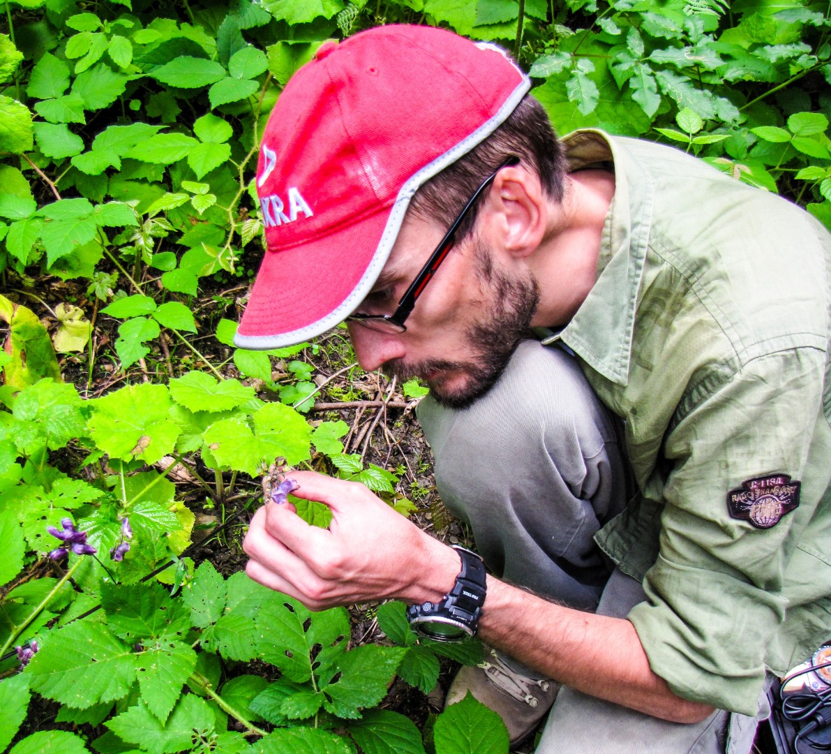
Dr. Yurii Strus has a good experience in GIS technologies. Other our scientists are familiar with GIS at different level of expertise, but they mostly do not use them so much in their research. In strict sense, our Museum is local research institution focused on Carpathian Mountains and adjacent regions. Nevertheless, we have several specialists of wider research interests, especially if speak about taxonomy and biogeography of problematic groups such as genus Aconitum (me), nematodes (Dr. Andriy Susulovskiy), ephemeroptera (Dr. Roman Godunko) etc. (Photo: Andriy with his Students in the Chornohora Mts, 2019, courtesy Andriy Novikov)
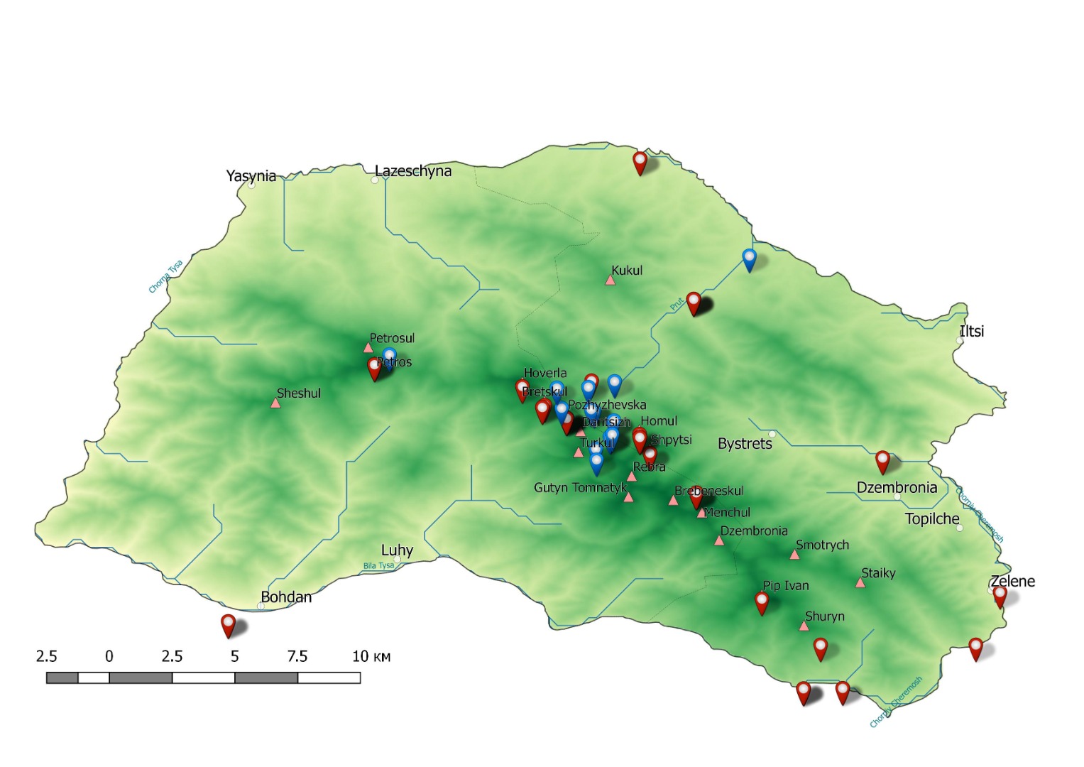
I have several tasks in the Museum. First of all, I am scientific curator of our herbarium (abbreviated as LWS). Here may task is preservation of herbarium vouchers, their ordination, and I hope that in close future I will start the digitization of our collection. I also do research on biogeography and taxonomy of the genus Aconitum in Carpathian region. In particular, I had several years of monitoring of local populations of monkshoods and studied factors of stress and suppression. Actually, investigation on that genus, which is an endemic and rare taxa, leads me to the current project – investigation of endemic plants. So, the third topic I am engaged today is biodiversity and distribution of endemic plants in Ukrainian Carpathians. At our Museum I am also participating in the project “Biodiversity of Ukraine”. In the frame of this project, I gather and provide data on distribution of some rare taxa, as well I take a part on discussions about development and strategy of this database. Last year I was also involved by my colleague from Kharkiv, Dr. Oleh Prylutskyi, in the GBIF initiative, so I hope that it will be among my main research activities in the future. (Map below: Localities of Aconitum degenii in Chornohora Mts, courtesy Andriy Novikov)
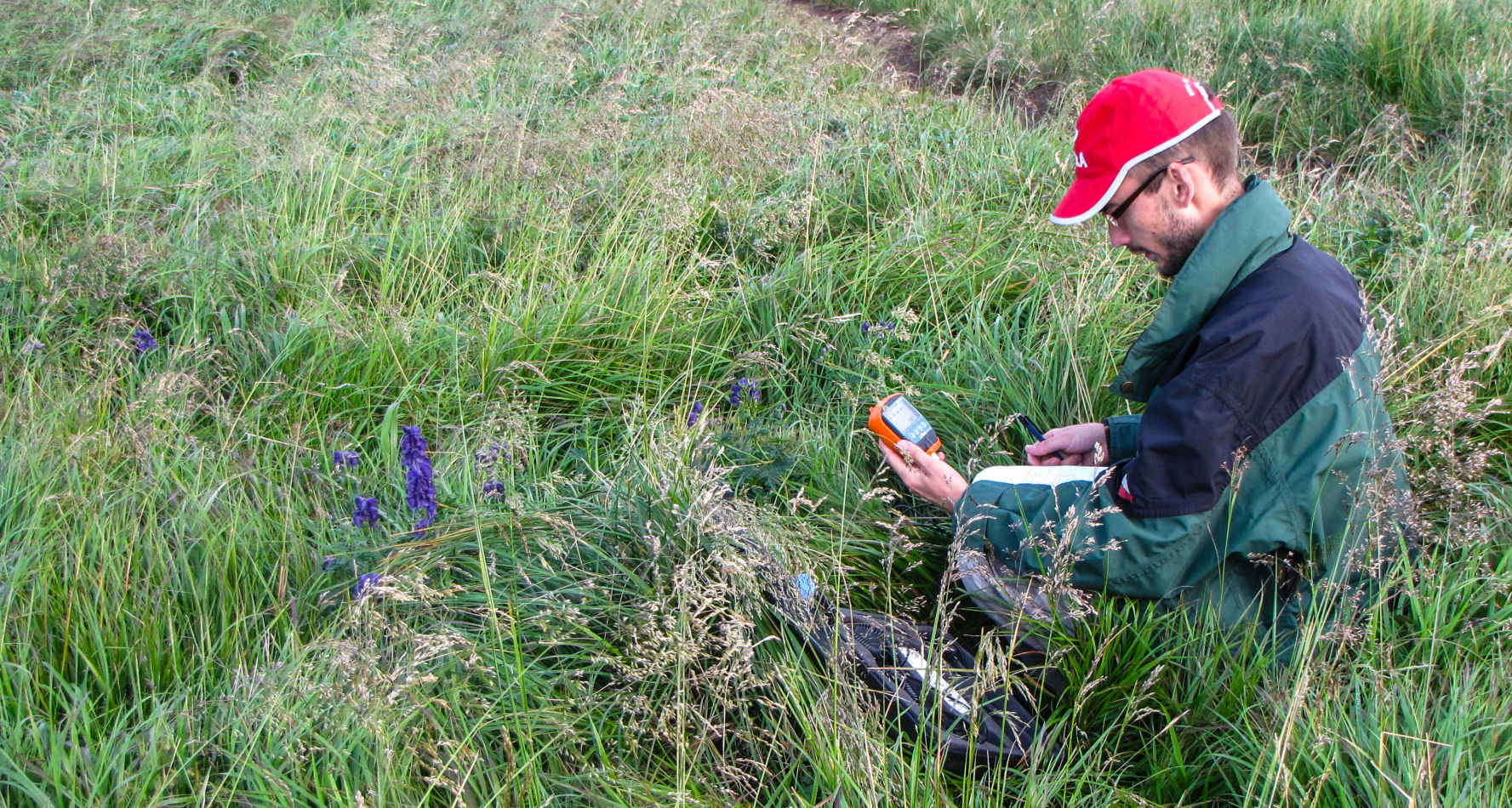
Please describe the history of your personal work in conservation and GIS: In early 2013 I attended the training on cybertaxonomy in Tervuren (Belgium) in the frames of DEST grants. There I was introduced with QGIS in first time by Franck Theeten. At that moment I had a project on taxonomic revision of the genus Aconitum in Slovakia, so I found that it is quite useful to build the maps in QGIS instead of Photoshop. Later I started to use QGIS for building the maps permanently. However it was just work with layers, and I never used QGIS for data analysis or data processing due to lack of experience. I reached the point when I understood that my experience in GIS is not enough to answer these questions. I tried to find answers on my questions online, as well during communication with my colleagues, but still did not feel that I am successful on this. I feel that the SCGIS scholarship & training could help me to realize my current project on the best possible level. During attendance of SCGIS scholarship I hope not simply to enhance my skills, but to find the research environment that will help me develop myself as a scientist. I hope to meet the people that similar experience, learn from them and share my ideas with them, to join and to fulfill their community. After all, quality realized project on endemics in Ukrainian Carpathians with strong GIS background will serve for the number of scientists that investigate biogeography of mountains. (Photo below: Andriy in the Chornohora Mts 2015, courtesy Andriy Novikov)
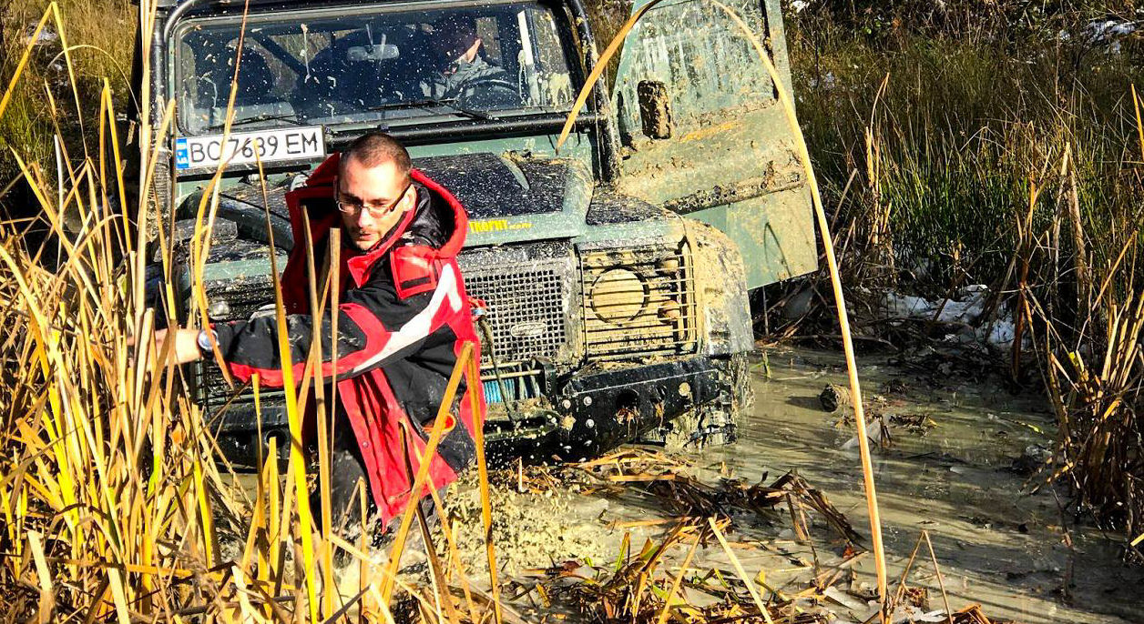
In 2015 I obtained the grant from Rufford foundation for investigation of population conditions and conservation of the genus Aconitum in Ukrainian Carpathians. Similarly, In 2017 I received second grant from Rufford and continued the mapping aconites and gathering data about their populations. As a result, 10 taxa were evaluated as threatened, while 17 Aconitum taxa were suggested to be endemic or subendemic. In 2019, basing on my efforts, Aconitum lasiocarpum, was officially included in IUCN Red List (International Union for Conservation of Nature). Now I am finishing my database on genus Aconitum distribution in Ukrainian Carpathians that currently includes 2063 entries. I hope that it will help to identify threat categories accordingly to IUCN criteria for all Aconitum taxa with DD (data deficient) category, and, as a result, to protect them. I also hope that my research on Aconitum will help to illuminate endemic taxa inside this genus. This data I will use for building the maps of distribution, and later will share for free on GBIF. I believe that it will be a great contribution to GBIF, because at this moment it includes only 15 verified entries of aconites from Ukrainian Carpathians. (Photo below: Andriy assisting a land rover in the Beskyd Mts 2018, courtesy Andriy Novikov)
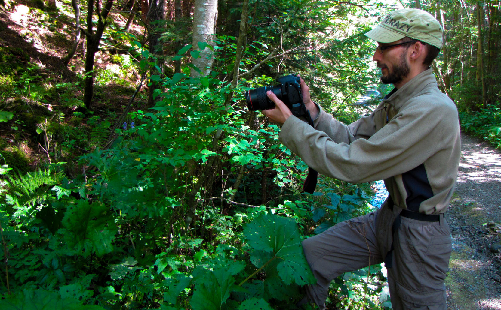
At the end of 2015 I was invited to join the project entitled “Carpathian endemic initiative” and I was faced with new challenges on mapping of endemic plants. Unfortunately, many fundamental things were still not realized for Ukraine. For example, I was quite surprised, when I found that there is no map of geomorphological division of Ukrainian Carpathian. Hence, I developed such map and presented it on the conference in Cluj (Romania) in 2017. In 2018 I left the project due to financial problems, but saved a hope to return in this field later. At that moment I had collected information on general distribution of 76 endemics in Ukrainian Carpathians with preliminary identified mesoregions of their occupation. Beside of geomorphological division, I had finished layers for phytogeographical division of Ukrainian Carpathians corresponding to visions of Chopyk and Tasenkevych too. I also developed the structure of the primary database, and published several papers on this topic. In 2019 I returned to endemics investigations. Now I am collecting raw data about localities Ukrainian Carpathians from different sources (i.e. herbaria, publications, datasets etc.) and identifying coordinates for them. For the moment I have already a database with 1106 entries originated from Domin’s card index from Bratislava (Slovakia), UU herbarium (Uzhgorod, Ukraine), KWHA herbarium (Kyiv Main Botanical Garden, Ukraine), KW herbarium (Kyiv Institute of Botany, Ukraine). (Photo below: Andriy in the Chorniy Dil Mts 2017, courtesy Andriy Novikov)
*-UNIQUE: Please describe what is the most unique and the most challenging about the conservation/GIS work that you do:
My current project has the final target to create comprehensive register of localities of endemic plants of Ukrainian Carpathians, to create a database, maps and, finally, to publish an atlas of distribution of endemic plants in Ukrainian Carpathians. Publication of such data will be kind of revolution for Ukraine, because up to date there no any such consolidated dataset. Many authors simply misinterpret some taxa, considering them as endemic because of lack of data on their distribution. (Photo Below, Andriy working in the Gorgany Mts, 2017, courtesy Andriy Novikov)
I also want to conduct border analysis, to elucidate nature limits between problematic taxa. It is important, because many of these plants, due to limited area of distribution require protection and conservation. Some of them are not included in red lists just because unknown distribution and/or taxonomic status. Hence, I hope that my work will help to clarify spatial patterns of distribution of endemic plants in Ukrainian Carpathians for their further conservation, and will provide a strong background for deeper investigations in this field.
The most challenging on this way is: a) to bind specimens with coordinates and b) to correctly interpret the obtained data. It is very important not to produce artificial results, and clearly estimate the real number of localities and condition of populations.
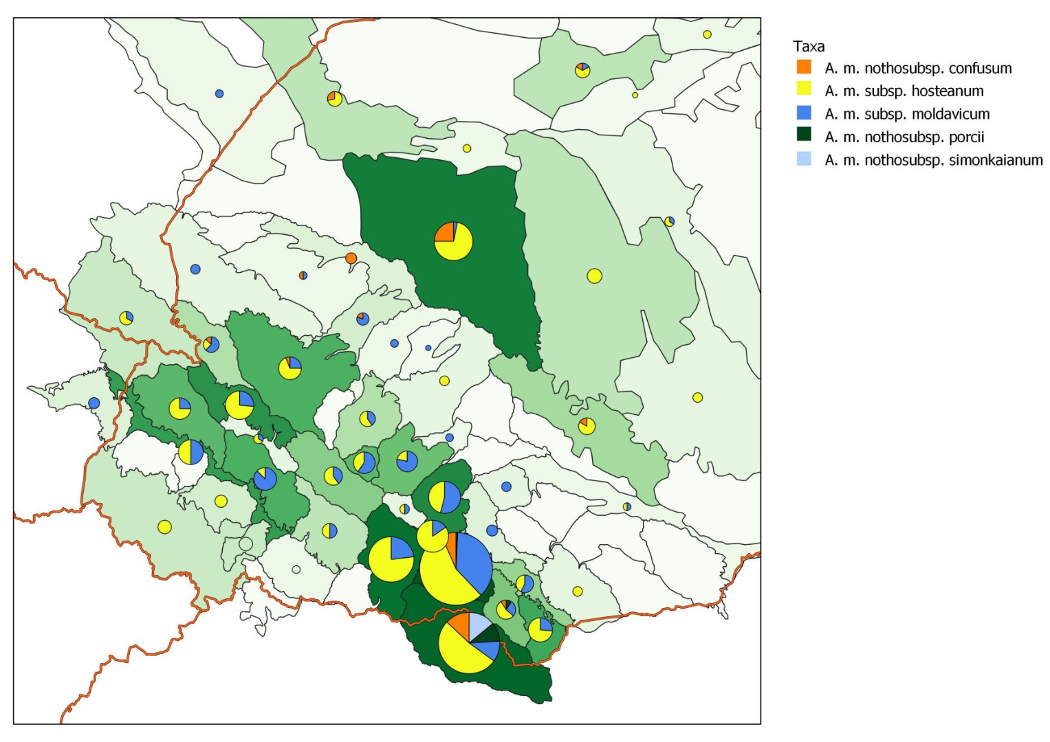 (Map Above:Distribution of Aconitum moldavicum in different mesoregions of Ukrainian Carpathians and adjacent lowlands, courtesy Andriy Novikov)
*-Title of the paper you will present:
Mapping unknown: challenges and perspectives of investigations on distribution of endemic plants in Ukrainian Carpathian Mountains
*-Abstract/summary of the paper you will present:
Different authors suggest different number of endemic plants taxa distributed in Ukrainian Carpathians, varying from 51 to 125 taxa. Chorney (2011) listed 380 taxa ever considered as endemics and ever mentioned for Ukrainian Carpathians, but concluded that the final number of the taxa of endemic plants here is only 116, including problematic groups and microspecies. Such disagreement between different scientists is resulted from different criteria applied by them for validation of taxa, as well as by different understanding of the terms endemism and subendemism. At the beginning of my investigations, I critically evaluated 189 taxa and separated only 70 taxa confirmed as endemic by precise investigations and widely accepted not only by Ukrainian scientists, but also by researchers abroad. I also excluded from my target group the genera considered as problematic, e.g. Hieracium, Alchemilla, Taraxacum, Rubus and some other. Because they require high level of expertise for correct identification, but also fluently change their taxonomic structure in respect to new investigations and visions. Later, in 2019 I improved my database due to some newly published research outcomes.
Hence, my current task is to collect raw data about all known localities of 76 taxa of endemic plants in Ukrainian Carpathians. It is quite challenging, because many of herbarium labels are hand-written and cannot be simply processed through the OCR algorithms. In many cases it is very difficult to read such labels and decryption takes a lot of time. But challenges not stop on initial data extraction, after that stage of identification of locality coordinates coming. This stage is also quite complicated with old vouchers, especially if this concerns Hungarian collections. Old herbarium vouchers often denote obsolete toponyms that are not in use today anymore. Moreover, some of labels lack of precise description and point to indefinite toponyms like Mt. Pip Ivan or Mt. Menchul. Such mountains with the same names are located in different regions concurrently. In that case I am trying to trace the history of the collectors, to understand where they were collecting at this time. In general, data harvesting is time consuming and requires strong experience on geography and even history. After that the mapping of points looks not so deterrent, but here are other problematic moments with no easy solution. For example, some of vouchers represent the same sampling event and can be preserved in different herbaria. Some of locations are better visited by scientists due their popularity and accessibility; therefore they are represented by higher number of observations and vouchers. Some of vouchers were sampled in mountain valleys on the border of neighboring mesoregions. If not avoid, such cases can result in artificial interpretation of the spatial distribution and population richness.
However, despite of general complexity, investigations on endemics distribution can reveal the limits between natural phytogeographical areas. Biogeography of endemics allows reconstructing the history and spatial changes of local flora, with prospect on modeling in future. Finally, such investigations are fundamental for understanding the real state of populations of rare plants, and precede further conservation activities.
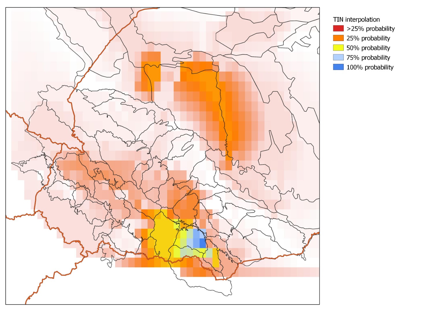
(Map: TIN distribution modelling of Aconitum moldavicum in different mesoregions of Ukrainian Carpathians and adjacent lowlands, courtesy Andriy Novikov)
-
 Anonymous User