- Home
- :
- All Communities
- :
- Products
- :
- ArcMap
- :
- ArcMap Questions
- :
- Calculating the land use cover values of a locatio...
- Subscribe to RSS Feed
- Mark Topic as New
- Mark Topic as Read
- Float this Topic for Current User
- Bookmark
- Subscribe
- Mute
- Printer Friendly Page
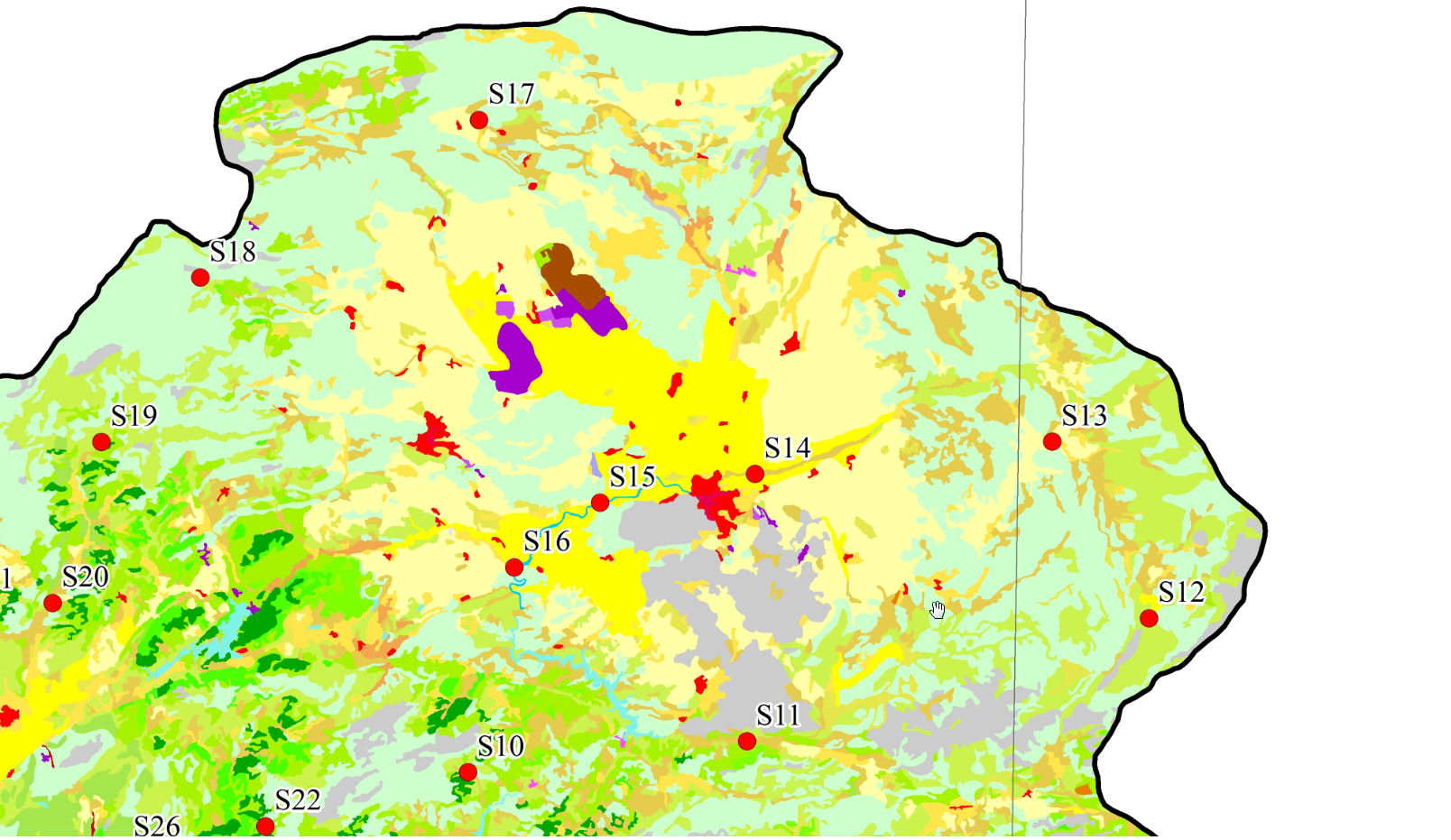
Calculating the land use cover values of a location (ArcMap / Corine Land Cover)
- Mark as New
- Bookmark
- Subscribe
- Mute
- Subscribe to RSS Feed
- Permalink
- Report Inappropriate Content
Solved! Go to Solution.
Accepted Solutions
- Mark as New
- Bookmark
- Subscribe
- Mute
- Subscribe to RSS Feed
- Permalink
- Report Inappropriate Content
I don't know what you would class as a land use rate as that probably has multiple meanings.
I would probably create a 5km buffer around that point, convert the raster to vector, and use Tabulate Intersection (Analysis)—ArcGIS Pro | Documentation which will probably tell you most of what you'd need to know.
There's probably a better raster tool but I just can't think of one.
There's also Zonal Statistics Zonal Statistics as Table (Spatial Analyst)—ArcGIS Pro | Documentation
- Mark as New
- Bookmark
- Subscribe
- Mute
- Subscribe to RSS Feed
- Permalink
- Report Inappropriate Content
thank you for your helps.