- Home
- :
- All Communities
- :
- Products
- :
- ArcGIS Vector Tile Style Editor
- :
- ArcGIS Vector Tile Style Editor Questions
- :
- Re: Need more automatic place names
- Subscribe to RSS Feed
- Mark Topic as New
- Mark Topic as Read
- Float this Topic for Current User
- Bookmark
- Subscribe
- Mute
- Printer Friendly Page
Need more automatic place names
- Mark as New
- Bookmark
- Subscribe
- Mute
- Subscribe to RSS Feed
- Permalink
- Report Inappropriate Content
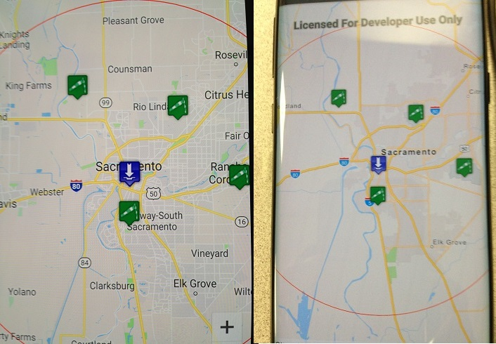
I am modifying a Xamarin Adroid project that originally used Goo.. maps. The G version displays names for about 20 municipalities. In my Esri version, if I create a map with roughly the same display area, I get 3 or 4 place names.
I've been trying to figure out how, when I create a map like this:
_map = new Map(Basemap.CreateNavigationVector());
I can get finer detail as far as place names that automatically populate the image. Can anyone help me drill down to the right location in the object hierarchy to find an object that I can use to affect this behavior. Thanks for any help.
- Mark as New
- Bookmark
- Subscribe
- Mute
- Subscribe to RSS Feed
- Permalink
- Report Inappropriate Content
I moved your question to the vector style editor forum, as such a change would require changing the map style, and then pointing to that custom map style instead. I have no idea if this is possible though but hopefully someone here can answer that.
- Mark as New
- Bookmark
- Subscribe
- Mute
- Subscribe to RSS Feed
- Permalink
- Report Inappropriate Content
Ok, let me take a step back: help me understand - how do those names get on the map to begin with?
- Mark as New
- Bookmark
- Subscribe
- Mute
- Subscribe to RSS Feed
- Permalink
- Report Inappropriate Content
They are part of the map you're referencing, so who ever authored the map, authored it this way. You'd have to create a custom map to control your own label density. Hopefully this can all be handled just by tweaking the map style, rather than creating an entirely new map and data, but that goes beyond my expertise.