Turn on suggestions
Auto-suggest helps you quickly narrow down your search results by suggesting possible matches as you type.
Cancel
- Home
- :
- All Communities
- :
- Products
- :
- ArcGIS Vector Tile Style Editor
- :
- ArcGIS Vector Tile Style Editor Questions
- :
- Is there a way to replace base map layers while ma...
Options
- Subscribe to RSS Feed
- Mark Topic as New
- Mark Topic as Read
- Float this Topic for Current User
- Bookmark
- Subscribe
- Mute
- Printer Friendly Page
Is there a way to replace base map layers while maintaining the original map ID. We currently have a group of Esri basemaps that our users use when creating maps and apps. Recently, a new freeway connecting two interstates has opened that is not depicte
Subscribe
426
1
08-24-2020 09:37 AM
08-24-2020
09:37 AM
- Mark as New
- Bookmark
- Subscribe
- Mute
- Subscribe to RSS Feed
- Permalink
- Report Inappropriate Content
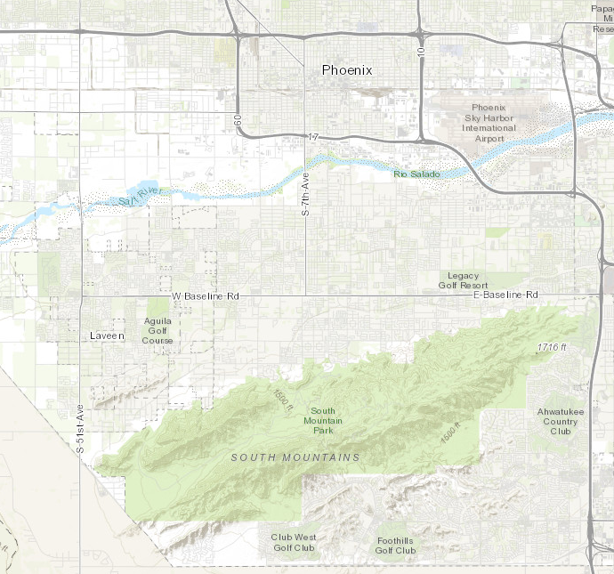
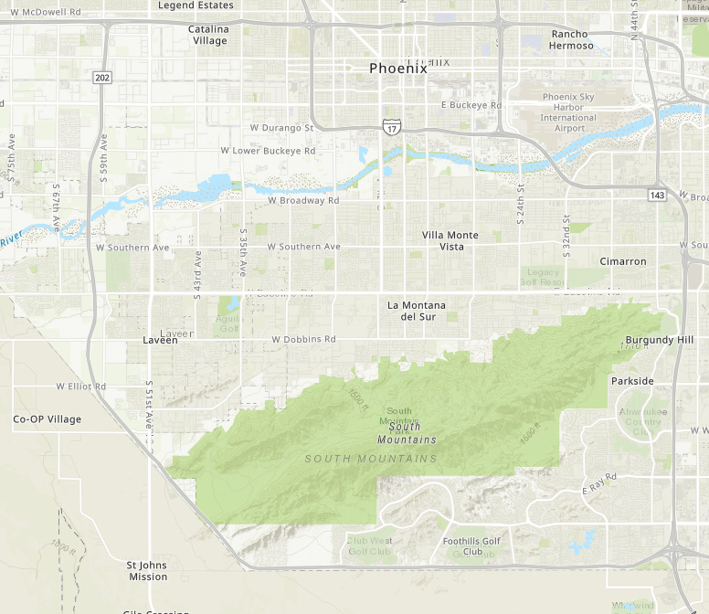
Basically what I am trying to do is replace the topographic basemap we have saved and use throughout our organization with an updated vector topographic basemap while maintaining the original map ID. This way all current applications using the original topographic map will now have the updated vector topographic basemap.
ORIGINAL
VECTOR TOPOGRAPHIC
1 Reply
08-24-2020
07:16 PM
- Mark as New
- Bookmark
- Subscribe
- Mute
- Subscribe to RSS Feed
- Permalink
- Report Inappropriate Content
Do you have an organizational basemap setup?
Have you saved the original and copied over the new one to the old name?
... sort of retired...