- Home
- :
- All Communities
- :
- Products
- :
- ArcGIS Survey123
- :
- ArcGIS Survey123 Questions
- :
- Re: Survey123 Feature Report - Adding web map to ...
- Subscribe to RSS Feed
- Mark Topic as New
- Mark Topic as Read
- Float this Topic for Current User
- Bookmark
- Subscribe
- Mute
- Printer Friendly Page
Survey123 Feature Report - Adding web map to export, not working
- Mark as New
- Bookmark
- Subscribe
- Mute
- Subscribe to RSS Feed
- Permalink
- Report Inappropriate Content
Hey,
So I have found this info which I am thinking means I can add a little web map to my report, showing a base map and my feature points with a little bit of context:
Geopoints
For geopoint questions, expressions can be used to display the latitude or longitude values from the question.
${location|getValue:"x"}
${location|getValue:"y"}
It isn't possible to display both values with one expression; if both values are needed, both expressions must be used.
Geopoint questions can also support setting the web map item ID and map scale as optional parameters by preceding the values with mapSettings:.
${location|mapSettings:"10df2279f9684e4a9f6a7f08febac2a9":264800}
Leaving either of these values as an empty string will use the default, allowing you to define a web map or map scale without defining the other.
If a geopoint question is not part of your survey, or you're creating reports for feature services without an associated survey, the geometry of a question can still be returned using the ${$shape} placeholder. This can also be used to return the geometry of polyline and polygon features.
So I have created a template which I have uploaded to Survey123, it looks like this:
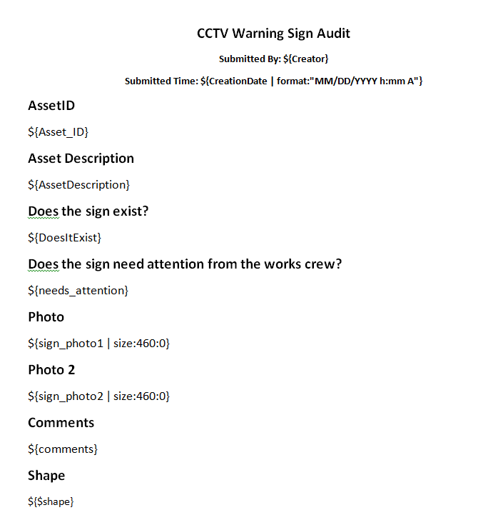
What this produces is a report with the default map view, it does not contain any features nor does it zoom to the feature extent etc, this is a screenshot of the applicable section of the exported report:
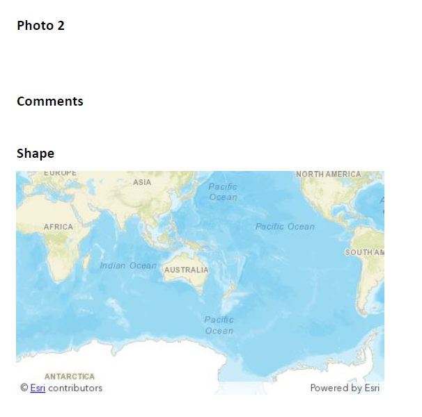
Note it is a point feature that is located in the South Eastern corner of Australia.... can I modify this report to zoom to show point and location??
Any ideas?
Solved! Go to Solution.
Accepted Solutions
- Mark as New
- Bookmark
- Subscribe
- Mute
- Subscribe to RSS Feed
- Permalink
- Report Inappropriate Content
Hi Ben
Thanks for the screenshots. You should be able to control the scale of the map using the mapSettings tag as described here Feature report templates—Survey123 for ArcGIS | ArcGIS (and in your screenshot above) and discussed here I am using the "Report (Beta)" feature to generate a report using a report template. However, the ma...
${$shape | mapSettings:"webmapItemId(optional)":mapScale(optional)}
For example: ${$shape | mapSettings:"10df2279f9684e4a9f6a7f08febac2a9":264800}
You can leave the webmap item ID empty; alternatively, you can find IDs for ArcGIS basemaps here: http://www.arcgis.com/home/group.html?id=8cb0765d4f394cc097407068580188ad#overview
Hope this helps,
Jim
- Mark as New
- Bookmark
- Subscribe
- Mute
- Subscribe to RSS Feed
- Permalink
- Report Inappropriate Content
That's fantastic, yeah I don't have a location column in my table, so I am using the $shape attribute.
This is the code that works for me:
${$shape|mapSettings:”39cfdfb659b04eeeebbbbcccca9273b0”:2500| size:850:0}Thanks again!
- Mark as New
- Bookmark
- Subscribe
- Mute
- Subscribe to RSS Feed
- Permalink
- Report Inappropriate Content
Hi, do you know if it is possible to label feature visible on the map. This is my code ${$shape|mapSettings:"0e08e12a9d514fde90ab6bc839ad1973"|size:800:500}
Thank you