- Home
- :
- All Communities
- :
- Products
- :
- ArcGIS Survey123
- :
- ArcGIS Survey123 Questions
- :
- Re: Customizing GPS Coordinates in Survey123 Map W...
- Subscribe to RSS Feed
- Mark Topic as New
- Mark Topic as Read
- Float this Topic for Current User
- Bookmark
- Subscribe
- Mute
- Printer Friendly Page
Customizing GPS Coordinates in Survey123 Map Window
- Mark as New
- Bookmark
- Subscribe
- Mute
- Subscribe to RSS Feed
- Permalink
- Report Inappropriate Content
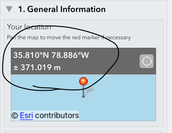
I work for a company that is piloting the Survey123 app for a project with the DOT to collect data on crossline pipes that need replacement after flooding. The maintenance engineers pointed out that the map window in the app needs to show the GPS coordinates to 4 decimal places, not 3. They said that a lot of time the pipes are within 100 feet of each other and 3 decimal places isn't good enough. I know if you click on the map window, then the app gives 8 decimal places but the crew I was with wanted to streamline the data collection a little bit more when comparing the app's coordinates with their own GPS unit. Is there a way on our end to change this to 4 decimal places or is this something that needs to change in the software? Any help would be appreciated.
Solved! Go to Solution.
Accepted Solutions
- Mark as New
- Bookmark
- Subscribe
- Mute
- Subscribe to RSS Feed
- Permalink
- Report Inappropriate Content
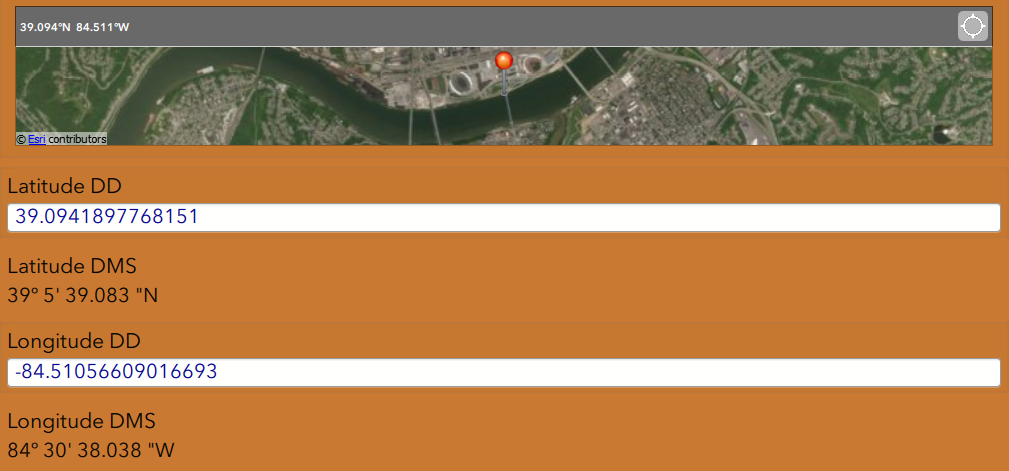
I know this is not exactly the answer that you want, but you could add two fields that are ready only that display the Latitude and Longitude of the point taken within your survey just below this question.
This is something similar that I have done for some of our surveys and it works great and it is very simple to do. This blog explains how to accomplish it.
This is an example for one of our surveys...10 plus decimal places being shown and you could use the round() to only show 4 places if that is what you would like for the user to see.
Good Luck!
Mike
- Mark as New
- Bookmark
- Subscribe
- Mute
- Subscribe to RSS Feed
- Permalink
- Report Inappropriate Content
Steven, I was wondering if this helped you out? My understanding is the only other way to increase the coordinate pair decimal would be to create your own application from the Survey123 code.
- Mark as New
- Bookmark
- Subscribe
- Mute
- Subscribe to RSS Feed
- Permalink
- Report Inappropriate Content
Yes, Mike, your first solution will work.
Thanks for the help!
- Mark as New
- Bookmark
- Subscribe
- Mute
- Subscribe to RSS Feed
- Permalink
- Report Inappropriate Content
No worries...glade that helped you out.