- Home
- :
- All Communities
- :
- Products
- :
- ArcGIS Spatial Analyst
- :
- ArcGIS Spatial Analyst Questions
- :
- Re: ArcGIS 10.2 - How to create an elevation profi...
- Subscribe to RSS Feed
- Mark Topic as New
- Mark Topic as Read
- Float this Topic for Current User
- Bookmark
- Subscribe
- Mute
- Printer Friendly Page
ArcGIS 10.2 - How to create an elevation profile with raster?
- Mark as New
- Bookmark
- Subscribe
- Mute
- Subscribe to RSS Feed
- Permalink
- Report Inappropriate Content
Hi,
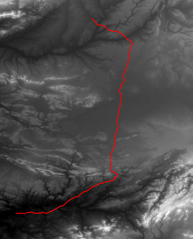
I have a line shapefile and I would like to extract elevation value from a raster DEM in order to create an elevation profile. As shown attached...
Is there a smart was of doing this in ArcGIS?
Thanks
Solved! Go to Solution.
Accepted Solutions
- Mark as New
- Bookmark
- Subscribe
- Mute
- Subscribe to RSS Feed
- Permalink
- Report Inappropriate Content
If you have the 3D Analyst Extension, you can try the Stack Profile Tool.
- Mark as New
- Bookmark
- Subscribe
- Mute
- Subscribe to RSS Feed
- Permalink
- Report Inappropriate Content
If you have the 3D Analyst Extension, you can try the Stack Profile Tool.
- Mark as New
- Bookmark
- Subscribe
- Mute
- Subscribe to RSS Feed
- Permalink
- Report Inappropriate Content
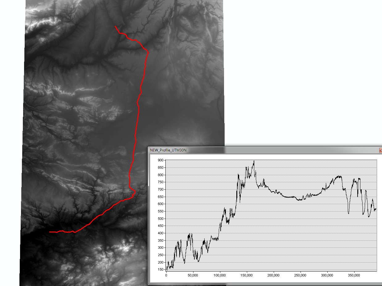
Thank you
It works great (see attached). I just had to make sure my project was projected in order to get meters/kilometres for the x axis...
However, Properties and Advanced Properties are very limited as usual with ArcGIS with charts formatting, and even bug! (shown attached).
At least, with the attribute table, I can rework the charts in Excel but it is all manual and cannot automatized the workflow easily in ArcGIS!
- Mark as New
- Bookmark
- Subscribe
- Mute
- Subscribe to RSS Feed
- Permalink
- Report Inappropriate Content
If you've enabled the 3D analyst extension you can also use the toolbar:
- In ArcMap, ensure that the layer containing the 3D line features you want to profile is checked as visible in the table of contents.
- Click the Select Features tool from the Tools toolbar.
- Click the 3D line feature or features you want to profile.
- Click the Create Profile Graph button
 on the 3D Analyst toolbar. The profile graph appears as a floating window on your map.
 .
- Mark as New
- Bookmark
- Subscribe
- Mute
- Subscribe to RSS Feed
- Permalink
- Report Inappropriate Content
If you don't have 3D analyst, you should take a look at ET Surface (ArcGIS tools add-ons and extensions from ET SpatialTechniques). The unregistered version has some limitations, but it might be enough to get your job done.
- Mark as New
- Bookmark
- Subscribe
- Mute
- Subscribe to RSS Feed
- Permalink
- Report Inappropriate Content
Unfortunately, the Profile Graph button works only if the shapefile is z enabled with values... It doesn't stack the z values from an underlying raster as the Stack Profile tool...unless I miss something.
Thanks