- Home
- :
- All Communities
- :
- Developers
- :
- Native Maps SDKs
- :
- .NET Maps SDK Questions
- :
- Re: Arcgis SDK bugs and OSM vector data & style
- Subscribe to RSS Feed
- Mark Topic as New
- Mark Topic as Read
- Float this Topic for Current User
- Bookmark
- Subscribe
- Mute
- Printer Friendly Page
Arcgis SDK bugs and OSM vector data & style
- Mark as New
- Bookmark
- Subscribe
- Mute
- Subscribe to RSS Feed
- Permalink
- Report Inappropriate Content
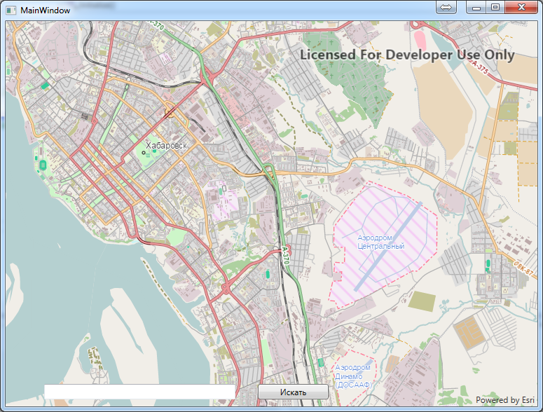
Greetings. My organization have some expierence with SDK 10.2 for .NET last year. Now we have another geo task and looking for sdk to solve it. We need vector osm-based map. So I started to check if this is possible with new 101 sdk.
I made some download from osm and tried to style it using Arcgis Pro.
ArcGis Pro was able to create mmpk and test application was able to show it. But.... It looks like skd engine is incomplete or buggy:
1. It completely ignores layer "Definition Query" so i have to generate every layer as separate data set
2. It doesn't show grouped layers, so I have to ungroup them before generating mmpk
3. It doesn't respect label classes so I have to create label classes as separate layers
4. It ignores multifield symbology (so i need to generate separate data sets - def query doesn't work)
5. It can't place horisontal labels on streets (osm style road REFs) because it stole some letters from text and show empty backgrounds
Is there any way to get full list of sdk engine possibilities ? It takes too many time to find this by "try and fail"...
- Mark as New
- Bookmark
- Subscribe
- Mute
- Subscribe to RSS Feed
- Permalink
- Report Inappropriate Content
One more special found: I made a swamp layer and styled id "by category" via single "wetland" field. It has 8 values (like 'marsh', 'bog', etc). So I applied 'picture fill' symbol for every category with different pictures (from osm carto style). Then I made mmpk and opened it in test .net application. Swamp areas behave strange... Swamp area symbol doesn't stick to wetland field but it changes when changed zoom. Single swamp area when zooming from 1:2000 to 1:500000 try all symbols 
Simple fill symbols work good....
P.S. SDK engine is fast enough... Its labeler (maplex ?) is good too.
It has some bugs, but it works (with some workarounds) and map looks good.
I think we will choose it for current project...