- Home
- :
- All Communities
- :
- Developers
- :
- Native Maps SDKs
- :
- .NET Maps SDK Questions
- :
- Add the image on the map using coordinates of four...
- Subscribe to RSS Feed
- Mark Topic as New
- Mark Topic as Read
- Float this Topic for Current User
- Bookmark
- Subscribe
- Mute
- Printer Friendly Page
Add the image on the map using coordinates of four angular points of the image in ArcGIS SDK for .NET?
- Mark as New
- Bookmark
- Subscribe
- Mute
- Subscribe to RSS Feed
- Permalink
- Report Inappropriate Content
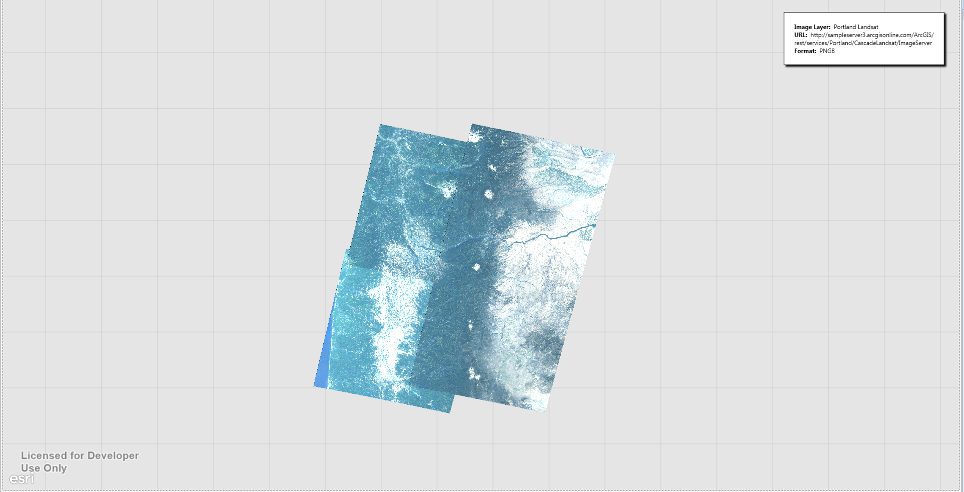
I want to add my local image on the map using coordinates of four angular points of the image with result like in ArcGISImageServiceLayer example. What ways are?
- Mark as New
- Bookmark
- Subscribe
- Mute
- Subscribe to RSS Feed
- Permalink
- Report Inappropriate Content
Hi,
If you're currently working with 10.2.7 and are not ready to upgrade to the new Quartz Beta (note there are some significant changes) then I would recommend using KML and GroundOverlays.
In the new Beta we have added direct support for raster data. If your raster data does not have any geo-referencing information embedded in the file and does not have any associated geo-referencing information in external files then you can create a world file. For more info see World files for raster datasets—Help | ArcGIS for Desktop
Cheers
Mike
- Mark as New
- Bookmark
- Subscribe
- Mute
- Subscribe to RSS Feed
- Permalink
- Report Inappropriate Content
Thanks for the answer. Is Mapview.Editor available in Beta?
- Mark as New
- Bookmark
- Subscribe
- Mute
- Subscribe to RSS Feed
- Permalink
- Report Inappropriate Content
Hi,
Unfortunately the new SketchEditor was not available in beta, but it is included in the full release (v100.0): ArcGIS Runtime SDK for .NET | ArcGIS for Developers
Cheers
Mike