- Home
- :
- All Communities
- :
- Developers
- :
- Native Maps SDKs
- :
- Runtime SDK for Android Questions
- :
- In world-scale Augmented Reality, how to ensure 3D...
- Subscribe to RSS Feed
- Mark Topic as New
- Mark Topic as Read
- Float this Topic for Current User
- Bookmark
- Subscribe
- Mute
- Printer Friendly Page
In world-scale Augmented Reality, how to ensure 3D data a right size?
- Mark as New
- Bookmark
- Subscribe
- Mute
- Subscribe to RSS Feed
- Permalink
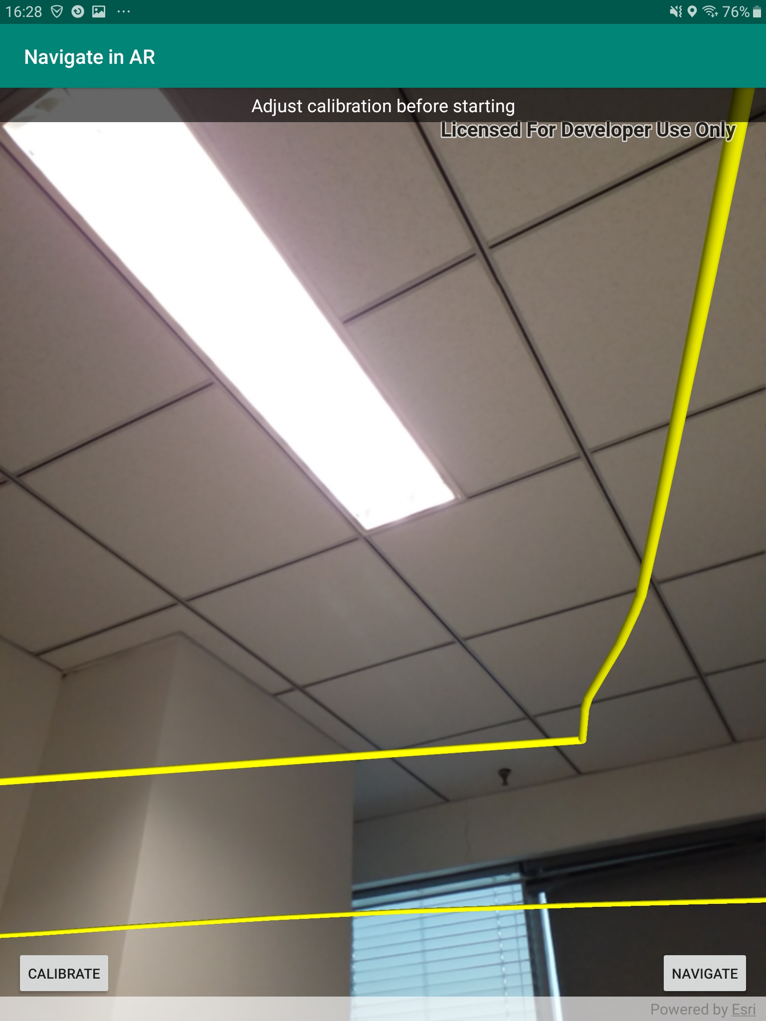
Hi! I'm trying to use the arcgis-runtime-toolkit-android to build a world-scale AR application, compiling the navigate-in-AR sample (download from github) and also doing my own tests with slpk file, while I find that neither of which can display 3D data at the right scale, generally too small. How to ensure that the slpk file or a 3D graphic display in the appropriate size in the camera scene?
By the way, the height is also very strange.
- Mark as New
- Bookmark
- Subscribe
- Mute
- Subscribe to RSS Feed
- Permalink
Hi chenjn ArcGISRuntime,
We don't perform scaling on the 3D data that you provide, if you've tried this data on an ordinary SceneView and it's correct then it's likely the viewpoint of the camera needs some calibration.
Have you tried using the "Calibrate" functionality to fix alignment issues?
- Mark as New
- Bookmark
- Subscribe
- Mute
- Subscribe to RSS Feed
- Permalink
Thanks for your reply.
I want to make sure that, "we don't perform scaling on the 3D data" means ArcGISArView can automatically match the data added to the sceneView with its real scale?
I saw the "Calibrate" functionality in the navigate-in-AR sample,and thought only direction and height should be calibrated, not include the size. Is that right?