- Home
- :
- All Communities
- :
- Products
- :
- ArcGIS Pro
- :
- ArcGIS Pro Questions
- :
- Re: Spatial Analyst - Focal Statistics - No output...
- Subscribe to RSS Feed
- Mark Topic as New
- Mark Topic as Read
- Float this Topic for Current User
- Bookmark
- Subscribe
- Mute
- Printer Friendly Page
Spatial Analyst - Focal Statistics - No output?
- Mark as New
- Bookmark
- Subscribe
- Mute
- Subscribe to RSS Feed
- Permalink
- Report Inappropriate Content
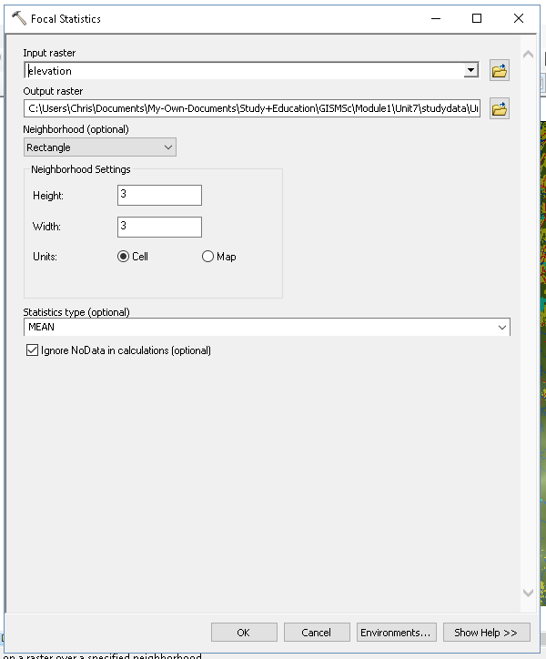
I'm running a simple analysis of a raster layer containing discrete elevation values, using the Focal Statistics tool from within the Spatial Analyst toolbox.
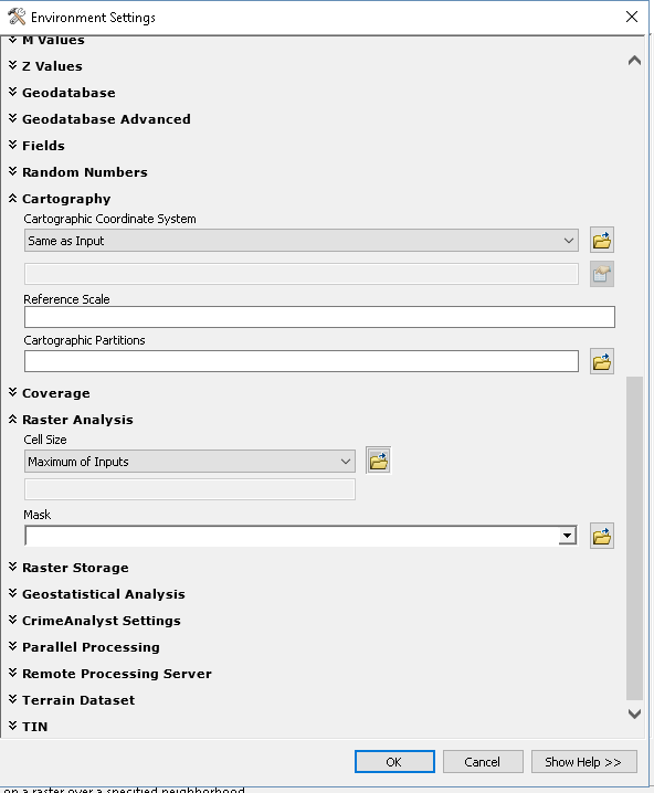
Each time I have run the tool it returns no results, I have checked through the environment variables and selected different options within 'Focal Statistics' however the output is still empty.
I have the results saved (and hopefully attached).
Any help appreciated, I am hoping I'm tired and I've made a simple mistake.
Solved! Go to Solution.
Accepted Solutions
- Mark as New
- Bookmark
- Subscribe
- Mute
- Subscribe to RSS Feed
- Permalink
- Report Inappropriate Content
You are still using an mdb. export the inputs into a simple folder and use that folder for the inputs and the outputs. The file source and destination may be the issue. Use a file geodatabase rather than a personal geodatabase at least. again c:\test as the folder for the source and destination and try the output as a *.tif
And I assume inputs are in the same coordinate system!?
- Mark as New
- Bookmark
- Subscribe
- Mute
- Subscribe to RSS Feed
- Permalink
- Report Inappropriate Content
could you post a screen grab or copy of the inputs and the environments.. the zip's rlt can't be read
- Mark as New
- Bookmark
- Subscribe
- Mute
- Subscribe to RSS Feed
- Permalink
- Report Inappropriate Content
- Mark as New
- Bookmark
- Subscribe
- Mute
- Subscribe to RSS Feed
- Permalink
- Report Inappropriate Content
Chris,
This kind of looks like ArcMap, not ArcGIS Pro.
What does your results window indicate? Using the Results window—Help | ArcGIS for Desktop
- Mark as New
- Bookmark
- Subscribe
- Mute
- Subscribe to RSS Feed
- Permalink
- Report Inappropriate Content
Yes this is ArcMap.
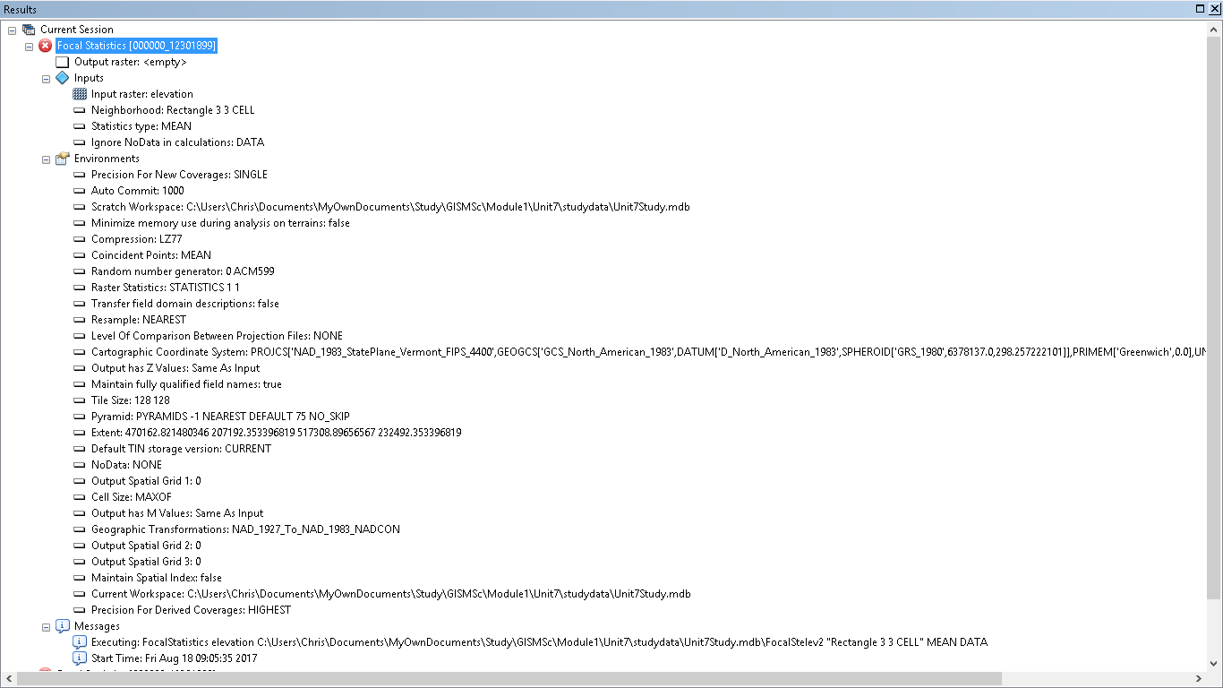
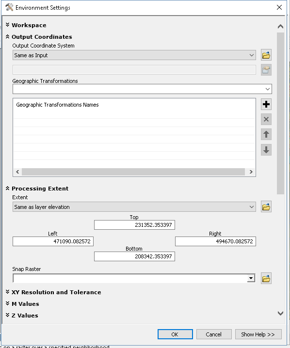
My results window is the first image, I can't see any issue with what I see on there, in terms of input.
- Mark as New
- Bookmark
- Subscribe
- Mute
- Subscribe to RSS Feed
- Permalink
- Report Inappropriate Content
it's not going to like that output folder.. it has dashes and a plus (-, +)... try c:\mystuff\fstats.tif
- Mark as New
- Bookmark
- Subscribe
- Mute
- Subscribe to RSS Feed
- Permalink
- Report Inappropriate Content
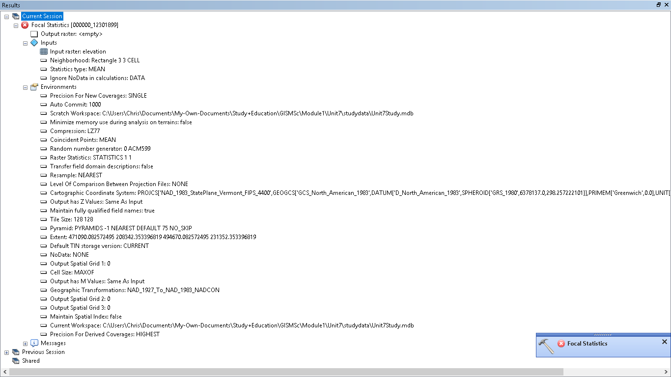
I've changed the filepaths and folder names removing the operator characters and spaces.
- Mark as New
- Bookmark
- Subscribe
- Mute
- Subscribe to RSS Feed
- Permalink
- Report Inappropriate Content
Also I see that you are working in a Personal Geodatabase (.mdb), which has a storage limitation of < 2 GB.
Try working (or saving the output) in a File Geodatabase (.gdb) or a basic folder for storing the output raster.
How raster data is stored and managed in a Geodatabase
Think Location
- Mark as New
- Bookmark
- Subscribe
- Mute
- Subscribe to RSS Feed
- Permalink
- Report Inappropriate Content
My output shouldn't exceed 2Gb but thank you, I'll keep that in mind.
Edit:
When I changed the output to a File geodatabase with a *.tif output format it ran perfectly.
Is this because the personal geodatabase cannot handle output format being created?
- Mark as New
- Bookmark
- Subscribe
- Mute
- Subscribe to RSS Feed
- Permalink
- Report Inappropriate Content
I've taken your input but unfortunately my output/result is still similar.
Any further ideas greatly appreciated.