- Home
- :
- All Communities
- :
- Products
- :
- ArcGIS Pro
- :
- ArcGIS Pro Questions
- :
- Show different layers on different frames?
- Subscribe to RSS Feed
- Mark Topic as New
- Mark Topic as Read
- Float this Topic for Current User
- Bookmark
- Subscribe
- Mute
- Printer Friendly Page
Show different layers on different frames?
- Mark as New
- Bookmark
- Subscribe
- Mute
- Subscribe to RSS Feed
- Permalink
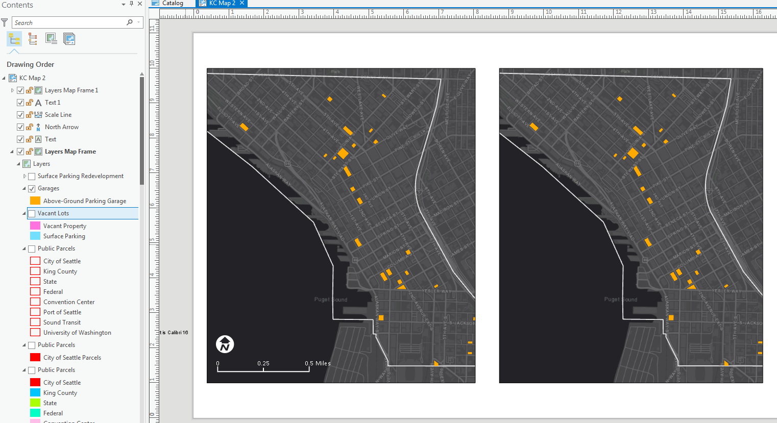
In the example below, say I want to: 1) show the "Garages" layer on the left, and 2) not show "Garages" layer on the right but show the "Vacant Lots" layer instead. It appears that controlling the visibility for one frame repeats the visibility settings across all frames, even if frames are on different layouts. Is there a way around that or am I missing something? Thanks!
- Mark as New
- Bookmark
- Subscribe
- Mute
- Subscribe to RSS Feed
- Permalink
Greetings - adding a reply here to bump this to the top again. Thanks for any help!
- Mark as New
- Bookmark
- Subscribe
- Mute
- Subscribe to RSS Feed
- Permalink
I'm not sure if this is "Best Practice" but it works. I would create a second map similar to your existing map, only with the layers you want. Reference the second map in your second frame so they function independently of each other.
You can click on a frame, bring up Format Map Frame, and on the Display Options there is a setting for Constraint. You can experiment with the settings, but you will likely want something like "Linked map frame center and scale" to make both of them the same.
Hope that helps.
Respectfully,
Chris
- Mark as New
- Bookmark
- Subscribe
- Mute
- Subscribe to RSS Feed
- Permalink
As others have said, the answer is having different maps.
To add to that: A trick I've been using is when I import a map (Layout), I immediately expand the contents and rename the maps referencing it. This way you can keep track of your various maps and make sure you are referencing (and editing) the correct one.
For Example: I work in Colorado a lot. Sometimes management wants a page sized map for Power Point slides, and other times they want a wall map. I imported both versions from ArcMap and renamed the wall version "<Map>...Size_E" and the Power point Template "<Map>...Size_A". Both maps include an inset map of the entire State of Colorado with an Extent box on them. I renamed one of these "Colorado_Inset_Map" and deleted the second one. I reference that same Inset map on both the wall and the power point sized maps.
I'm sure there are many examples but this is one simple one where I'm trying to leverage this new "Project work-space" environment that ESRI is bringing back with PRO.