- Home
- :
- All Communities
- :
- Products
- :
- ArcGIS Pro
- :
- ArcGIS Pro Questions
- :
- Output Coordinate System Shift Issue - Is the Proj...
- Subscribe to RSS Feed
- Mark Topic as New
- Mark Topic as Read
- Float this Topic for Current User
- Bookmark
- Subscribe
- Mute
- Printer Friendly Page
Output Coordinate System Shift Issue - Is the Project(Tool) dependent on the Map Coordinate System??
- Mark as New
- Bookmark
- Subscribe
- Mute
- Subscribe to RSS Feed
- Permalink
Goal: Export the NWI Wetlands as a shapefile into my required coordinate system so I can load into AutoCAD. Use Project tool to change the shapefile's coordinate system from WGS to NAD83 Alabama West Feet
Expectation: I would expect that regardless of the current Map you're in, if you Project a shapefile from one coordinate system to another - the result would be the same.
Problem: I am seeing different results using Project tool when the same process is applied from 2 different Maps. In one Map it looks good, but in the other the result is shifted and it doesn't make sense to me! Help!
Setup:
- ArcPro 2.7
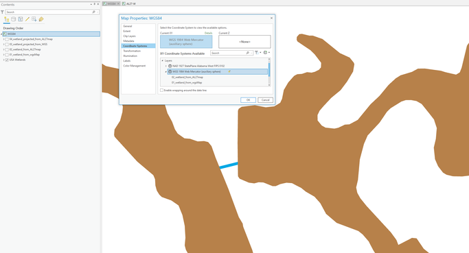
- Map 1 Coordinate System is WGS1984
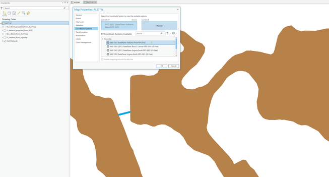
- Map 2 Coordinate System is State Plane NAD27 Alabama West US Feet
- Both maps have the USA Wetlands (WGS1984) from Living Atlas
Map 1
Map 2
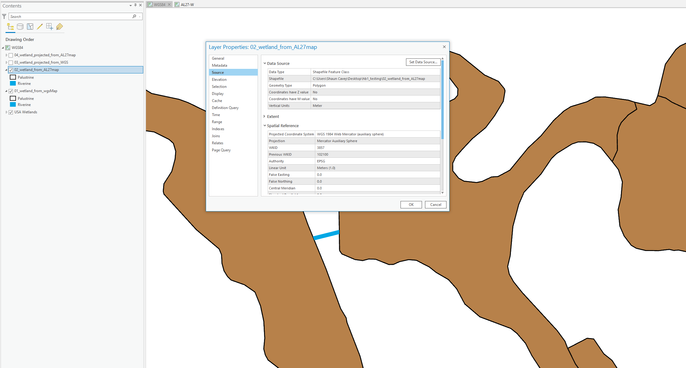
Process 1 - Export NWI Wetlands as a shapefile from Map 1 (no Coordinate change)
Process 2 - Export NWI Wetlands as a shapefile from Map 2 (no Coordinate change)
Results – Both shapefiles are aligned with original NWI Wetlands (as expected) in both Maps. They are essentially the same shapefile.
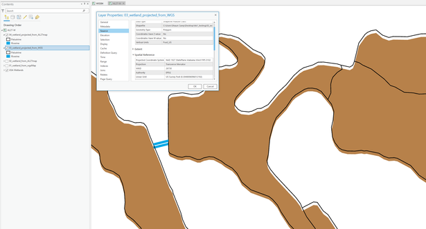
Process 3 – Project shapefile from Map 1 (WGS -> NAD27)
Process 4 – Project shapefile from Map 2 (WGS -> NAD27)
Results –
Map 1: Both Projected shapefiles are aligned with NWI Wetlands, as expected.
Map 2: Both Projected shapefiles are shifted about 35.2 feet from the NWI Wetlands, this was unexpected. What is going on?!
Solved! Go to Solution.
Accepted Solutions
- Mark as New
- Bookmark
- Subscribe
- Mute
- Subscribe to RSS Feed
- Permalink
autopopulate assumes that the inputs were defined correctly, and it does its best to provide a selection of possibilities (was there more than one transformation offered? check the tiny drop-down arrow beside ...NADCON). I don't know what would be best for your data, but the correct data definition and correct transformation will produce unshifted data
... sort of retired...
- Mark as New
- Bookmark
- Subscribe
- Mute
- Subscribe to RSS Feed
- Permalink
Got it!
There was a mismatch in the The Map Transformation Properties versus the Geographic Transformation Parameter of the Project Tool. These need to be aligned!
What's interesting, is that the Map Geographic Transformation (NAD 1927 to WGS 1984 3) was not available in the Project tool dropdown choice (screenshot below). I think this was the root of the problem.
Bad
Good - Aligned, same transformation.
No - NAD 1927 to WGS 1984 3 available
Thanks for leading me in the right direction!
- Mark as New
- Bookmark
- Subscribe
- Mute
- Subscribe to RSS Feed
- Permalink
did you account for the datum transformation (eg wgs84 to 1927 datum). Datum shift will account for shifts in coordinates if the appropriate transformation isn't chosen/set when using the Project Tool
... sort of retired...
- Mark as New
- Bookmark
- Subscribe
- Mute
- Subscribe to RSS Feed
- Permalink
I'm honestly not sure.
Below is a screenshot of the Project Tool parameters. Once I set the Output Coordinate System I wanted, the Geographic Transformation was auto-populated.
Question: Does the Geographic Transformation auto-populate from the Shapefile or the Map Properties?
Is there another step I'm not thinking about?
- Mark as New
- Bookmark
- Subscribe
- Mute
- Subscribe to RSS Feed
- Permalink
autopopulate assumes that the inputs were defined correctly, and it does its best to provide a selection of possibilities (was there more than one transformation offered? check the tiny drop-down arrow beside ...NADCON). I don't know what would be best for your data, but the correct data definition and correct transformation will produce unshifted data
... sort of retired...
- Mark as New
- Bookmark
- Subscribe
- Mute
- Subscribe to RSS Feed
- Permalink
Got it!
There was a mismatch in the The Map Transformation Properties versus the Geographic Transformation Parameter of the Project Tool. These need to be aligned!
What's interesting, is that the Map Geographic Transformation (NAD 1927 to WGS 1984 3) was not available in the Project tool dropdown choice (screenshot below). I think this was the root of the problem.
Bad
Good - Aligned, same transformation.
No - NAD 1927 to WGS 1984 3 available
Thanks for leading me in the right direction!


