- Home
- :
- All Communities
- :
- Products
- :
- ArcGIS Pro
- :
- ArcGIS Pro Questions
- :
- Landsat imagery causing ArcGIS Pro to crash
- Subscribe to RSS Feed
- Mark Topic as New
- Mark Topic as Read
- Float this Topic for Current User
- Bookmark
- Subscribe
- Mute
- Printer Friendly Page
Landsat imagery causing ArcGIS Pro to crash
- Mark as New
- Bookmark
- Subscribe
- Mute
- Subscribe to RSS Feed
- Permalink
- Report Inappropriate Content
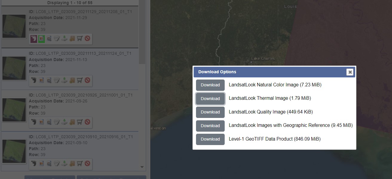
Hello! I'm trying to pull in an image so that I can calculate impervious surfaces in downtown area. I tried using Landsat images from Earth Explorer but the GeoTIFF image never wants to download - maybe too large 846 MiB. Even when I try to just download and add the data of the Thermal Image (much smaller 1.79 MiB), ArcGIS Pro still crashes. I have tried NAIP imagery as well and it always crashes. I'm guessing it's just too large of a file? I just need spectral image of a small space (100 meters out from the point of a circle). What am I doing wrong?
Thanks esri Community!
- Mark as New
- Bookmark
- Subscribe
- Mute
- Subscribe to RSS Feed
- Permalink
- Report Inappropriate Content
when you say "pull in" by whatever means, isn't there an option to limit of the extent while you are doing it?
... sort of retired...
- Mark as New
- Bookmark
- Subscribe
- Mute
- Subscribe to RSS Feed
- Permalink
- Report Inappropriate Content
I'm not sure - I just download the data from Earth Explorer and then when ArcGIS Pro is open, I go to "Map" tab, then "Add data", and select the first one on the list "Data". This opens my folders where the image is saved (TIFF) but when I select it, ArcGIS then crashes.
- Mark as New
- Bookmark
- Subscribe
- Mute
- Subscribe to RSS Feed
- Permalink
- Report Inappropriate Content
The file was not too large. I just had to extract the data and rename the folder in the downloads folder. Not sure why this solved my problem but it did in case anyone else is having the same issue.