- Home
- :
- All Communities
- :
- Products
- :
- ArcGIS Pro
- :
- ArcGIS Pro Questions
- :
- How to Find Slope for Polygon Feature
- Subscribe to RSS Feed
- Mark Topic as New
- Mark Topic as Read
- Float this Topic for Current User
- Bookmark
- Subscribe
- Mute
- Printer Friendly Page
- Mark as New
- Bookmark
- Subscribe
- Mute
- Subscribe to RSS Feed
- Permalink
- Report Inappropriate Content
Hi all! I have gathered SRTM data and from there gathered the slope for my desired region of study. I am specifically looking at tree growth and reforestation. I have a layer of polygons outlining the tree growth I want to specifically look at. How would I be able to find the slopes for these polygons? I know how to use the Extract Multi Values to Point tool, but these are polygons not points. I also tried the Zonal Statistics as Table tool, but it did not work. Any suggestions?
Solved! Go to Solution.
Accepted Solutions
- Mark as New
- Bookmark
- Subscribe
- Mute
- Subscribe to RSS Feed
- Permalink
- Report Inappropriate Content
I would take a stab at your data not being projected. I believe Pro can do slope etc with a GCS nowadays but I'd say best practice is to project it if you want to play nice with other data.
- Mark as New
- Bookmark
- Subscribe
- Mute
- Subscribe to RSS Feed
- Permalink
- Report Inappropriate Content
Zonal Statistics—Help | Documentation
and its tabular equivalent should work. What did you use and specify for the tools? Did you get errors or just unexpected results?
... sort of retired...
- Mark as New
- Bookmark
- Subscribe
- Mute
- Subscribe to RSS Feed
- Permalink
- Report Inappropriate Content
Hi Dan,
I guess I am just confused on how to run the tool...I created two new fields in my polygon attribute table (one for DEM and one for slope). I do not know if this is right, but I don't see another way. This is my process. The output is generating an empty table. Treegrowth are all of my polygons. Hillshade_STRM_Clip_Clip is my DEM. I also tried this with my slope raster, and got the same results. Thanks!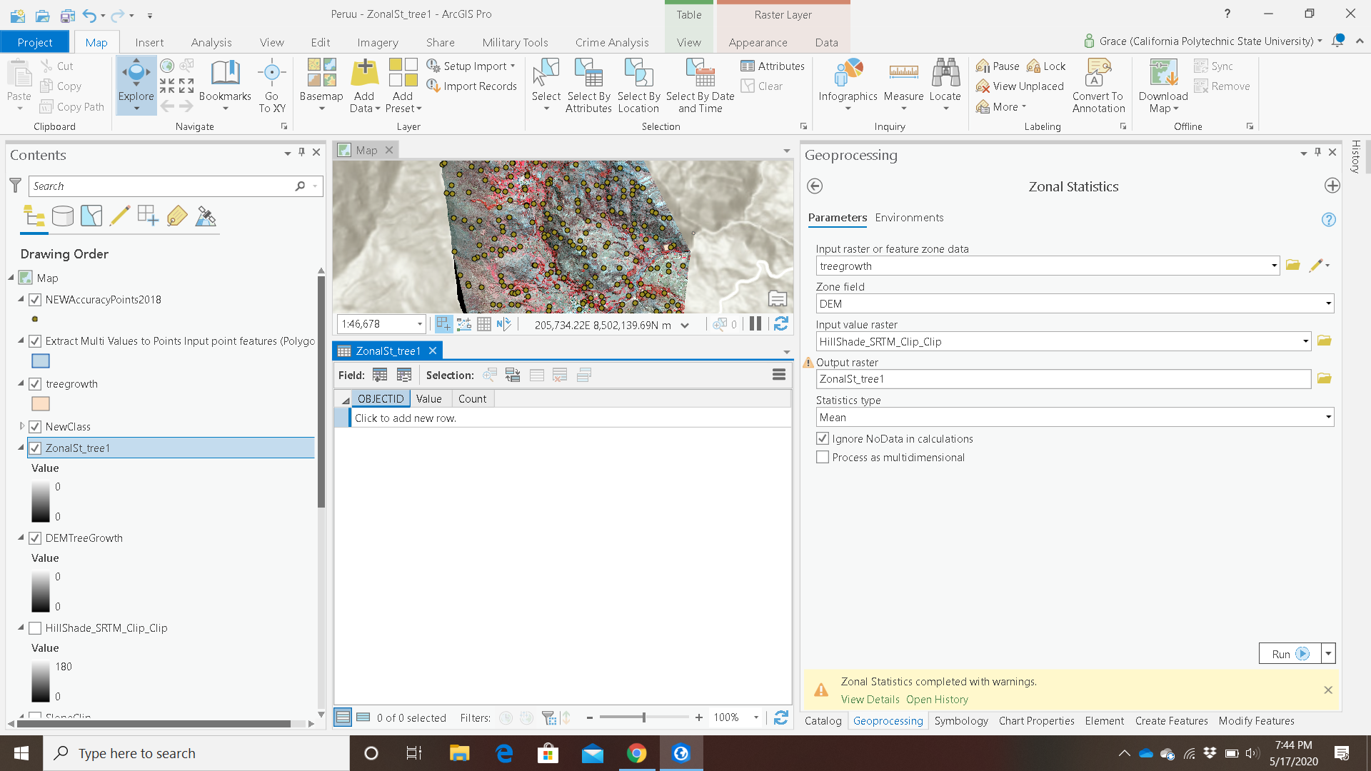
- Mark as New
- Bookmark
- Subscribe
- Mute
- Subscribe to RSS Feed
- Permalink
- Report Inappropriate Content
What's the resolution of the SRTM you're using? what's a typical size of your polygon area?
Your zonal statistics can take an average (and many other stats) of the raster cell centres which intersect your polygons.
Though it's highly unlikely that the slope will be regular across the polygon, or in the same direction, unless we are looking at vineyards or something?
- Mark as New
- Bookmark
- Subscribe
- Mute
- Subscribe to RSS Feed
- Permalink
- Report Inappropriate Content
Hi! I am unsure on how to find the resolution, I am unable to see any information in the display properties. I downloaded a single SRTM tile from Earth Data. Most of my polygons have a shape area of 0...do not know why. Is that normal? They are measuring some decent size areas of tree growth.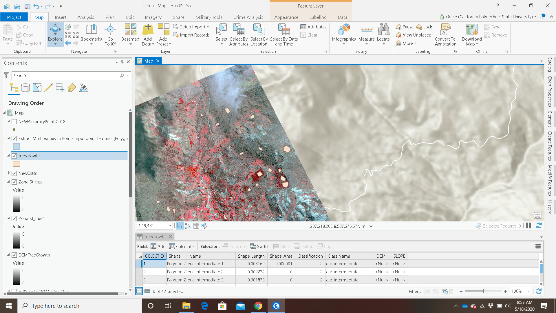
- Mark as New
- Bookmark
- Subscribe
- Mute
- Subscribe to RSS Feed
- Permalink
- Report Inappropriate Content
I would take a stab at your data not being projected. I believe Pro can do slope etc with a GCS nowadays but I'd say best practice is to project it if you want to play nice with other data.
- Mark as New
- Bookmark
- Subscribe
- Mute
- Subscribe to RSS Feed
- Permalink
- Report Inappropriate Content
That worked!! Thank you so much Dave!!