Turn on suggestions
Auto-suggest helps you quickly narrow down your search results by suggesting possible matches as you type.
Cancel
- Home
- :
- All Communities
- :
- Products
- :
- ArcGIS Pro
- :
- ArcGIS Pro Questions
- :
- How create reference raster to calculate classific...
Options
- Subscribe to RSS Feed
- Mark Topic as New
- Mark Topic as Read
- Float this Topic for Current User
- Bookmark
- Subscribe
- Mute
- Printer Friendly Page
How create reference raster to calculate classification accuary
Subscribe
324
0
05-02-2020 08:11 AM
by
Anonymous User
Not applicable
05-02-2020
08:11 AM
- Mark as New
- Bookmark
- Subscribe
- Mute
- Subscribe to RSS Feed
- Permalink
- Report Inappropriate Content
Hi everyone,
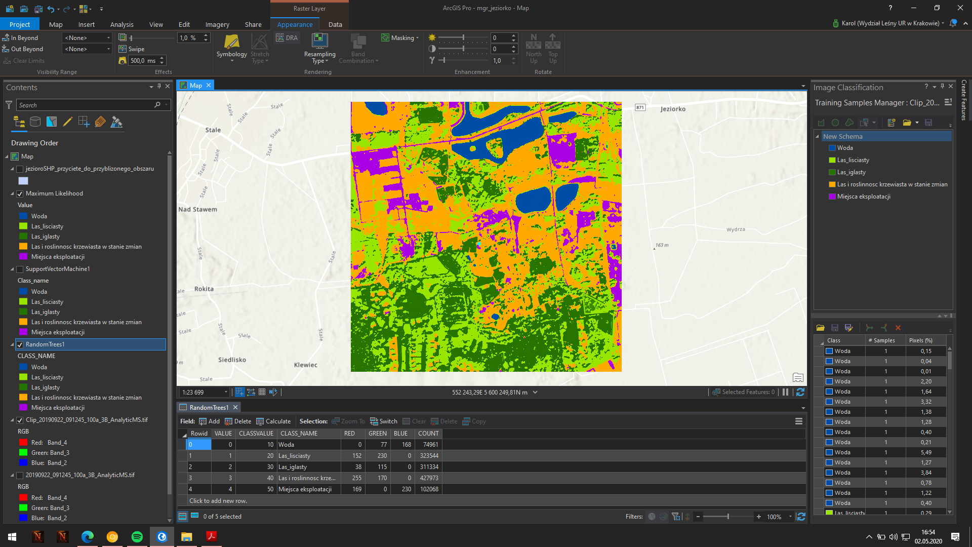
I create a classification on planetscope data. I made the classification using three methods: random trees, maximum likelihood and support vector machine. Below screen with random forest classification.
now I want to check the accuracy of the classification. I need a reference raster for this and I don't know how to do it well. Can someone explain it to me? I know the tool for creating accuary assessment points but I don't know what the reference raster should be.
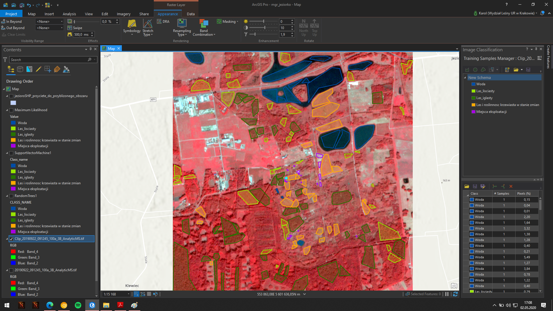
I would also like to ask if my training samples are ok, I have photointerpretation key and orthophoto and I created samples based on this data. Is this amount of samples good?
0 Replies