- Home
- :
- All Communities
- :
- Products
- :
- ArcGIS Pro
- :
- ArcGIS Pro Ideas
- :
- Specify units when Exporting to CAD
- Subscribe to RSS Feed
- Mark as New
- Mark as Read
- Bookmark
- Follow this Idea
- Printer Friendly Page
- Mark as New
- Bookmark
- Subscribe
- Mute
- Subscribe to RSS Feed
- Permalink
We recently had to export some data from ArcGIS Pro to a 3rd party and found that they were asking some probing questions about the units that the data was exported with. We had specified that this was using (in our case) British National Grid (EPSG:27700) which uses metres as default. However, when the data is exported, it converts the DWG units to feet and inches. I can't see anywhere where this can be changed or set in the current interface.
The only way that we can now fix this is by using Full version of AutoCAD to open the exported data. Then using "INSUNITS" command to set this to either (4) millimetres or (6) metres. This seems clunky and cumbersome and we should be able to specify this when exporting the data from ArcGIS Pro.
Data in AutoCAD 2019:
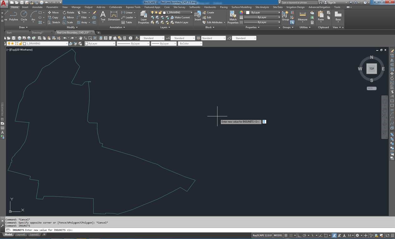
Link to AutoCAD resource on this: INSUNITS (System Variable) | AutoCAD 2020 | Autodesk Knowledge Network
Would expect to see a drop down list that effectively allows the user to select what units this is exported as. Also, this should default to what ever the Coordinate Systems default unit is set to, e.g. Brit Nat Grid = metres.
We have tested this in ArcGIS Pro v.2.4.3 and v.2.5
Thanks!
- « Previous
-
- 1
- 2
- Next »
Would love to hear an update too. We are experiencing the same problem and would like to see it fixed in a future version of Pro...
I really think that the seed file is the best way to go about this and I don't see a reason we need to change the way this works in pro. The big point I want to make is about clarifying what the units we are talking about here are. AutoCAD is a unitless program, the geometry drawn in a drawing is unitless. There is no way in AutoCAD to say that a line or point is using a specific units. The units that are be mentioned in this issue are the "Insert Units" of the drawing. This is one of the few places in AutoCAD where you can set units. These units affect the scale at which AutoCAD block inserts are drawn in a drawing when they are brought in. Export to CAD exports the data as unitless. So if its a 10 foot line in the database, it will be a 10 unit line in AutoCAD regardless of the Insert Units. While its still important to set the insert units when you are working with bringing blocks into a drawing, its not something that is relevant to the export to CAD process. If you want to set the Insert Units in the drawing you are exporting to, use a seed file that has it already set but just know that this is not going to affect what the geometry exported from pro will be drawn as.
I am just the messenger on this post
That's all well and good and indeed the seed file works fine. The issue is the lack of clarity in the documentation - the importance/role of the seed file must be emphasised. Why would the output units not be an option on the tool dialogue or environment settings? Also, even if you don't change it, why would the default be in feet/inches and not an SI unit? Sure, ESRI is a US company but the rest of the world etc etc you get my point...
Need to come in here now as this is a real issue that I have been told would be fixed on multiple occasions...yet you are still relying on someone having a seed file for a different application then the one we are trying to use, ArcGIS Pro.
AutoCAD might be unitless, but if someone wants to have true interoperability between applications, why not allow the export process to set this if we know what it should be. If AutoCAD is unitless, why is ESRI Inc exporting it out in feet? surely it should be as you suggest, unitless. So options are, don't set it to anything or add the functionality to change this is you are not working in feet.
I can change the units in ESRI projection files to be in meters or millimeters, depending on the cad data we are opening, so why can't ESRI honour this when it exports the data?
Hello
We like to emphasis that we are talking about two concepts on this post. (1) the insert units and (2) the units of the geometry. In this case the issue is with the inset units and NOT the geometry itself.
If the user exports out a line that is 10 feet in ArcGIS it will show up as 10 units in AutoCAD. If the user exports out a line that is 10 meters in ArcGIS it will be 10 units in AutoCAD.
All AutoCAD drawings must have an insert units set, But the insert units have nothing to do with what the geometry in the drawing is displaying as.
Yeah mate we get that - it does however cause confusion when you hand off data to CAD users - particularly less experienced users who may take the insert units as definitive. You can argue all you like about it not mattering but it is an undocumented behaviour and annoying. I had this exact scenario happen to me, an experienced designer I was sending the data to ignored the insert units and just changed it, a second junior designer was confused by it and was asking why I exported data in the wrong units...
Have to agree with @GraceUziallo. I have been told that this would be fixed only to be let down. If insert units have to be set, why not give us the option to set this to the correct value or better yet, honour the units that are already set in the Map Window? Just assuming it is imperial feet is like suggesting I want my coffee with milk when I drink it black.
Understand you are the messenger, but really need to send the message back that the current solution is not acceptable to all of your international users of ArcGIS Pro.
Thanks
Hello,
DWG files are unitless. If the original GIS feature is 100 meters long, the resultant AutoCAD entity will also be 100 units long. InsUnits is used only when creating new block inserts within the drawing. since AutoCAD doesn't include a definition of units, there isn't something for us to fix here.
Thanks
Sorry...then why is this set to a value? I was told a couple of years ago that this was being looked into. So now the party line changes and forces us to have to open another application to actually fix this. Sounds like a poor solution to me.
I would of thought with all the effort of integration/collaboration between AutoDesk and ESRI that this would be a relatively easy fix. This will be an ongoing issue for all AEC companies that cannot take advantage of working in the cloud due to security.
You must be a registered user to add a comment. If you've already registered, sign in. Otherwise, register and sign in.