- Home
- :
- All Communities
- :
- Products
- :
- ArcGIS Pro
- :
- ArcGIS Pro Ideas
- :
- Provide color blind symbology sets in ArcMap
- Subscribe to RSS Feed
- Mark as New
- Mark as Read
- Bookmark
- Follow this Idea
- Printer Friendly Page
- Report Inappropriate Content
Provide color blind symbology sets in ArcMap
- Mark as New
- Bookmark
- Subscribe
- Mute
- Subscribe to RSS Feed
- Permalink
- Report Inappropriate Content
Color Brewer provides a list of symbology sets that are color blind safe; allowing a user to change the number of data classes and type of data being displayed in a map. While there is an ArcScripts downloadable file to incorporate the Color Brewer symbology sets, our IT department does not allow external downloads of any kind to our local machines.
My coworkers and I currently set symbology based on the RGB colors provided by Color Brewer to each individual level. When my coworkers ask to see other options I have to make copies of the datasets and change their symbology individually and turn on/off layers to avoid losing the symbology of the original dataset.
This is a requirement of my program, and other programs that are under Federal grants, as accessibility is now a Federal standard when working under any Federal grant.
- Mark as Read
- Mark as New
- Bookmark
- Permalink
- Report Inappropriate Content
Sorry to hear you work in an unhelpful and restrictive business environment.
- Mark as Read
- Mark as New
- Bookmark
- Permalink
- Report Inappropriate Content
- Mark as Read
- Mark as New
- Bookmark
- Permalink
- Report Inappropriate Content
In general I think that having options to view or simulate colors for both color blindness and grayscale would be valuable tools. Right now I find myself designing maps, then exporting them as jpg, png, etc., and finally having to simulate color blindness with VisCheck or some other simulator, then going back to ArcMap to make changes, ... Wouldn't it be great to have a button to 'simulate grayscale' or 'simulate colorblindness' built within ArcMap?
- Mark as Read
- Mark as New
- Bookmark
- Permalink
- Report Inappropriate Content
Years ago there was an ESRI Color Deficiency Style for ArcMap. I've searched for it and I guess it's no longer available.
- Mark as Read
- Mark as New
- Bookmark
- Permalink
- Report Inappropriate Content
QGIS leads the way...

- Mark as Read
- Mark as New
- Bookmark
- Permalink
- Report Inappropriate Content
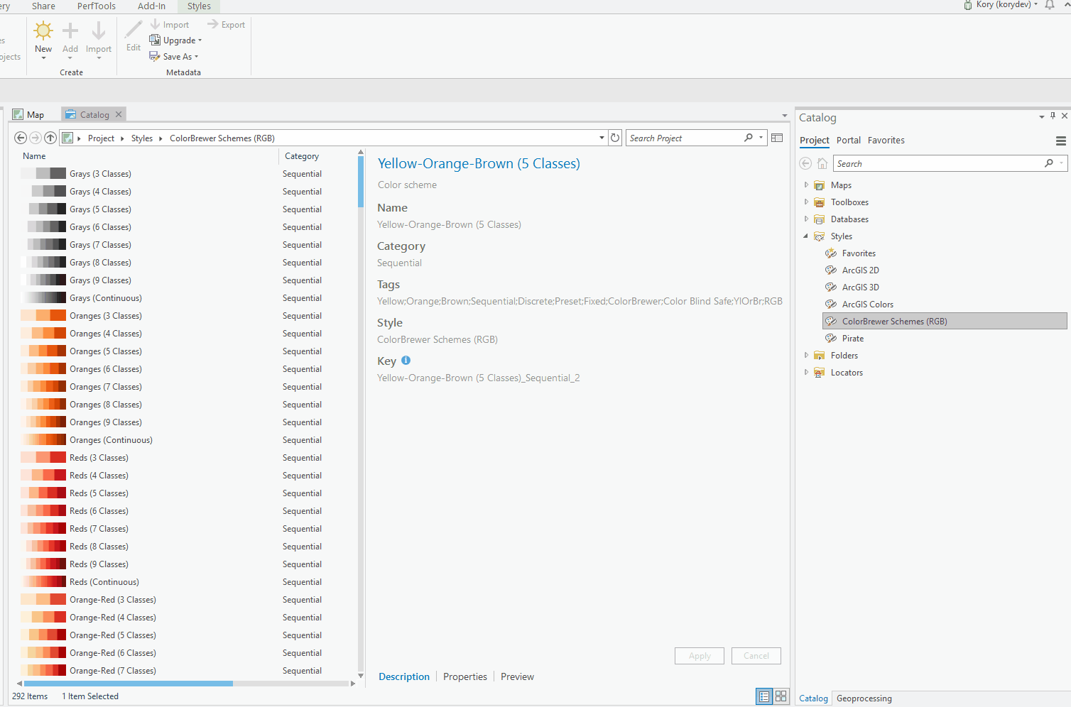
The ColorBrewer ramps were incorporated into ArcGIS Pro's default styles. There are many color blind safe options and it doesn't require any special installation.
- Mark as Read
- Mark as New
- Bookmark
- Permalink
- Report Inappropriate Content
Incorporated into ArcGIS Pro as noted in the comment above.
Thank you
You must be a registered user to add a comment. If you've already registered, sign in. Otherwise, register and sign in.