- Home
- :
- All Communities
- :
- Products
- :
- ArcGIS Online
- :
- ArcGIS Online Questions
- :
- Re: Image Layers Not Displaying Correctly in ArcGI...
- Subscribe to RSS Feed
- Mark Topic as New
- Mark Topic as Read
- Float this Topic for Current User
- Bookmark
- Subscribe
- Mute
- Printer Friendly Page
Image Layers Not Displaying Correctly in ArcGIS Online
- Mark as New
- Bookmark
- Subscribe
- Mute
- Subscribe to RSS Feed
- Permalink
- Report Inappropriate Content
Hello,
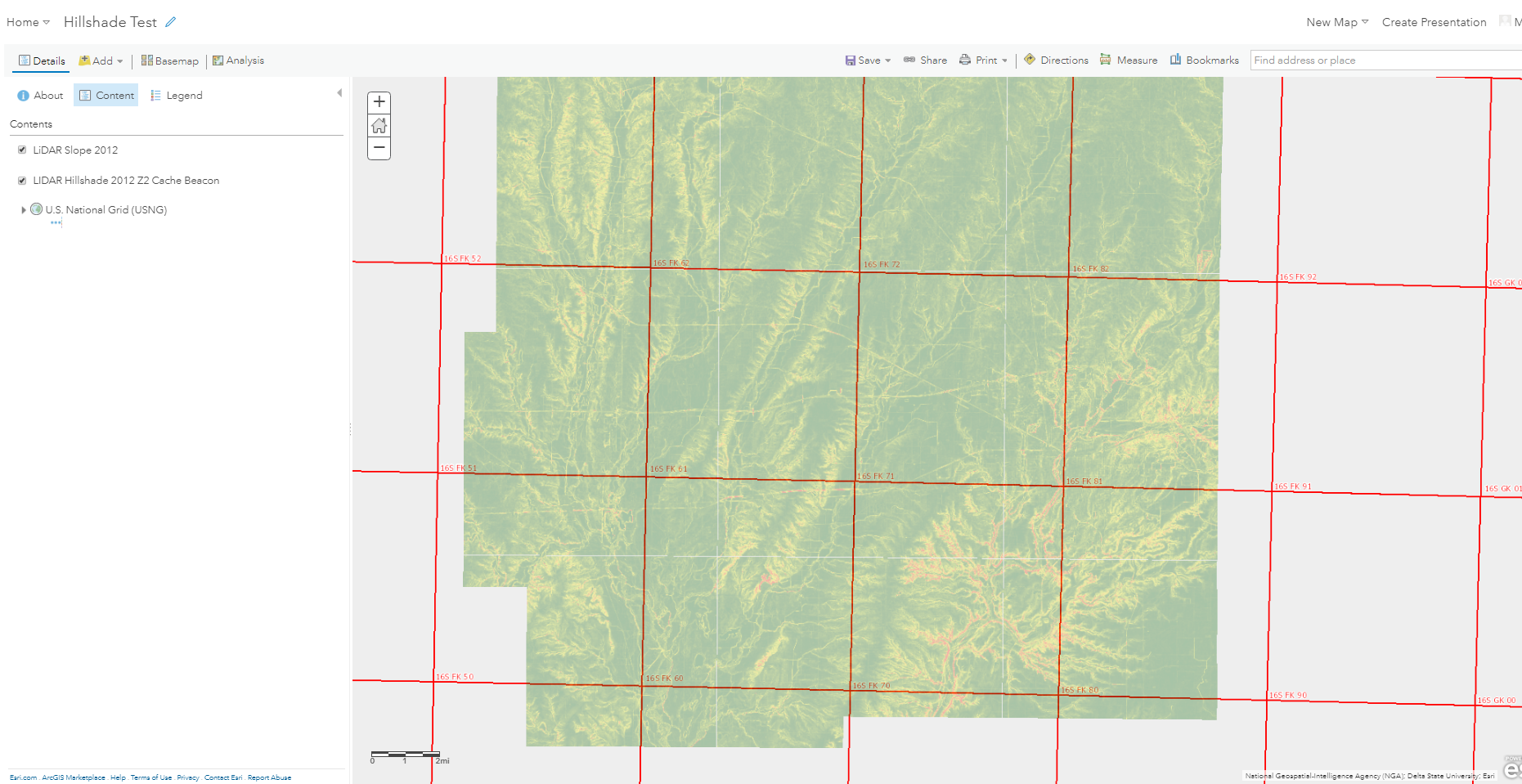
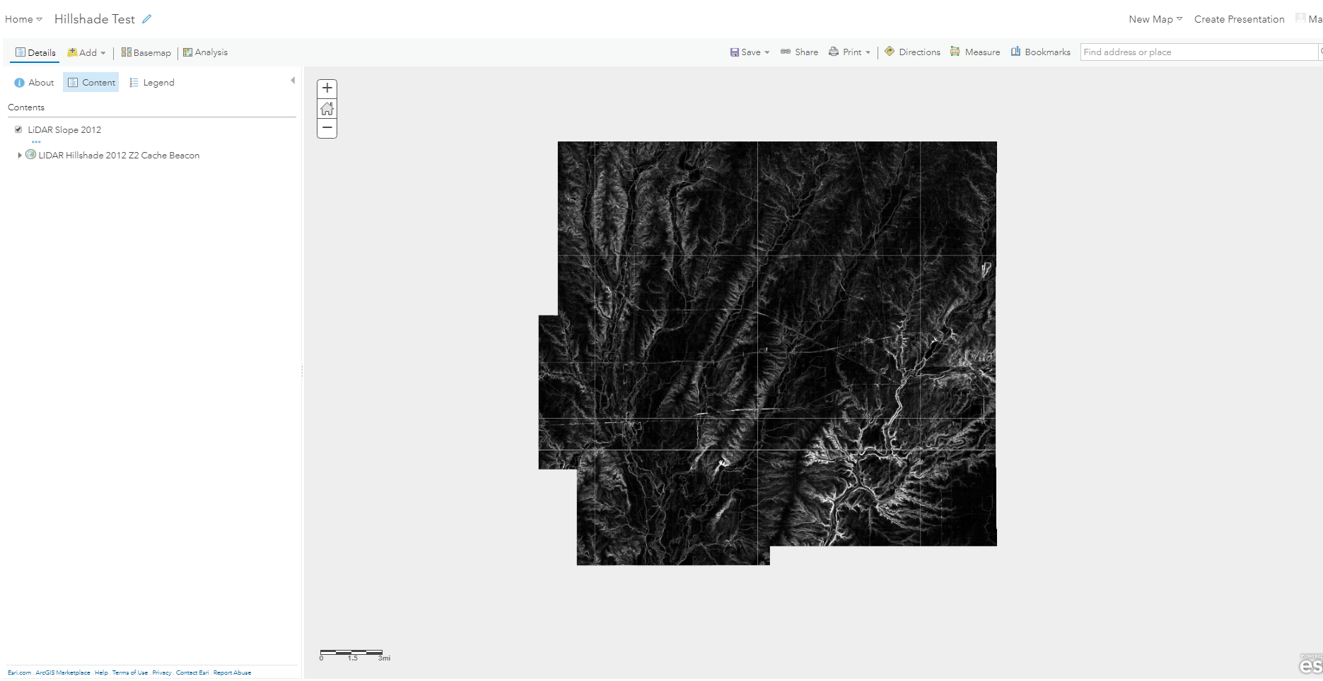
I am currently working on building some web maps of a county-wide hillshade displayed below a transparent slope layer. I want the slope to display with a green to red stretch, and this works when I add the slope by itself to a newly created web map. But if I try to add the hillshade image layer to a map it will not display unless I choose to use it as a basemap. I would be fine using the hillshade as a basemap, but when I do this I lose all symbology functionality with the slope and it defaults to the black to white stretch.
Would I need coordinate systems to match between my added layer and the basemap for them to display correctly? And is there any option for me to tweak symbology settings of the slope layer when I use a custom basemap?
Thanks in advance,
Matt
- Mark as New
- Bookmark
- Subscribe
- Mute
- Subscribe to RSS Feed
- Permalink
- Report Inappropriate Content
Now it turns out that my slope layer will display when it is added on the basemap from the U.S. National Grid living atlas layer. I added my hillshade too, but only the slope will display at all.