- Home
- :
- All Communities
- :
- Products
- :
- ArcGIS Online
- :
- ArcGIS Online Questions
- :
- Re: Features shift when published as a service on ...
- Subscribe to RSS Feed
- Mark Topic as New
- Mark Topic as Read
- Float this Topic for Current User
- Bookmark
- Subscribe
- Mute
- Printer Friendly Page
Features shift when published as a service on ArcGIS Online
- Mark as New
- Bookmark
- Subscribe
- Mute
- Subscribe to RSS Feed
- Permalink
- Report Inappropriate Content
I have feature classes that I am publishing as a service, but once I bring them into a map on ArcGIS Online the data appears to have shifted from its original location. These files started as CAD files, were transformed into feature classes within a geodatabase, and spatial adjustment was used to correct for errors in the original placement of the features. In ArcMap, these features display perfectly, it is only once they are published that they appear offset. They are off by about 250 feet.
Solved! Go to Solution.
Accepted Solutions
- Mark as New
- Bookmark
- Subscribe
- Mute
- Subscribe to RSS Feed
- Permalink
- Report Inappropriate Content
Unfortunately I cannot share that particular map, but I found a way to resolve the problem. The fix was to republish the utility services with a data transformation specified. I would have thought that both the drawing location and the selection location would be identical with both shifted on the basemap do to a lack of a data transformation being specified when the data was published as a service. Why would it be drawn in one location and selectable in a different location when it is the same data from the same service? Is this a bug in the map services?
The utility data is stored in Texas State Plane 1983 South Central US Feet in the geodatabase but the service is published in Web Mercator. The basemaps are the Esri default basemaps that are in Web Mercator as well. I know using the data transformation improves the accuracy of the utility data overlay, but it also slows down the rendering of the utility data.
- Mark as New
- Bookmark
- Subscribe
- Mute
- Subscribe to RSS Feed
- Permalink
- Report Inappropriate Content
I am also having a similar issue. Everything looks great in ArcMap, but once my features are published, they appear off by about 30 feet. I have published features dozens of times and I have never run into anything like this. Has anyone else had this sort of issue and been able to resolve?
- Mark as New
- Bookmark
- Subscribe
- Mute
- Subscribe to RSS Feed
- Permalink
- Report Inappropriate Content
What is the Spatial Reference of the source data. And what background map are you using in AGOL? Lastly how are you uploading the features?
- Mark as New
- Bookmark
- Subscribe
- Mute
- Subscribe to RSS Feed
- Permalink
- Report Inappropriate Content
Spatial reference of the source data is NAD 83 State Plane Mississippi East. I use the Imagery basemap in AGOL, which is in WGS. I upload as a feature service and add that service to use in a webmap in AGOL.
- Mark as New
- Bookmark
- Subscribe
- Mute
- Subscribe to RSS Feed
- Permalink
- Report Inappropriate Content
If you are using an ArcGIS Online basemap, the data will be projected into Web Mercator (basemap sets the projection for the map). The default transformation will be used to transform the data when it is transformed to Web Mercator. If this isn't the correct transformation, your data may be shifted. When you are setting up your data in ArcMap or ArcGIS Pro, change the dataframe projection to Web Mercator. See if the data is still shifted. The best way to publish data that is going to be transformed to Web Mercator is to chose the transformation and reproject the data before publishing.
Check out this support article for details in applying transformations:
How To: Select the correct geographic (datum) transformation when projecting between datums
-Kelly
- Mark as New
- Bookmark
- Subscribe
- Mute
- Subscribe to RSS Feed
- Permalink
- Report Inappropriate Content
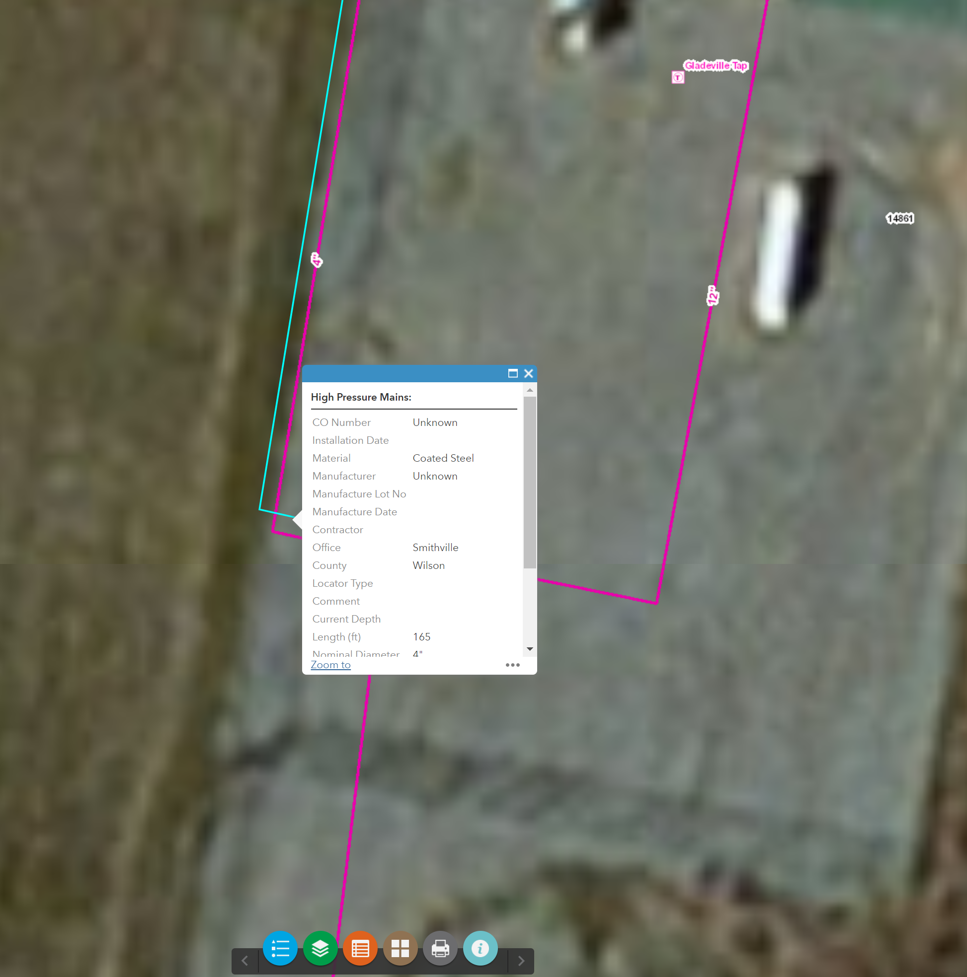
So I changed my data frame coordinate system to web Mercator auxiliary sphere before publishing. This is what I get when viewing AGOL. The purple line is correct, but I cannot select the purple line, I must select over 2 to 3 ft ( Data Shit) to select and identify my data...? Any thoughts?
- Mark as New
- Bookmark
- Subscribe
- Mute
- Subscribe to RSS Feed
- Permalink
- Report Inappropriate Content
Can you share the rest url that you are seeing the issue with?
-Kelly
- Mark as New
- Bookmark
- Subscribe
- Mute
- Subscribe to RSS Feed
- Permalink
- Report Inappropriate Content
I will message it to you.
- Mark as New
- Bookmark
- Subscribe
- Mute
- Subscribe to RSS Feed
- Permalink
- Report Inappropriate Content
Did you ever find out why the selection is shifted? I am still having this issue with some of our maps. The layer is drawing in the correct place but the selection point is offset by about a foot.
- Mark as New
- Bookmark
- Subscribe
- Mute
- Subscribe to RSS Feed
- Permalink
- Report Inappropriate Content
Hey Joshua,
Can you share your web map? What projection is the layer and basemap in?
-Kelly