Turn on suggestions
Auto-suggest helps you quickly narrow down your search results by suggesting possible matches as you type.
Cancel
- Home
- :
- All Communities
- :
- Products
- :
- ArcGIS Online
- :
- ArcGIS Online Ideas
- :
- Make Separate Services for Basemap Annotation
Options
- Subscribe to RSS Feed
- Mark as New
- Mark as Read
- Bookmark
- Follow this Idea
- Printer Friendly Page
- Report Inappropriate Content
Make Separate Services for Basemap Annotation
Follow this Idea
867
2
09-30-2011 10:33 AM
Status:
Open
- Mark as New
- Bookmark
- Subscribe
- Mute
- Subscribe to RSS Feed
- Permalink
- Report Inappropriate Content
I'd like to see the annotation for basemaps set up as separate services so that they can be placed separately within the layer tree. That would allow someone to choose whether or not their data covers them up.
It would also allow for the use of just the basemap, without annotation, or just the basemap annotation iteslf, which I could see being potentially useful.
It would also allow for the use of just the basemap, without annotation, or just the basemap annotation iteslf, which I could see being potentially useful.
2 Comments
- Mark as Read
- Mark as New
- Bookmark
- Permalink
- Report Inappropriate Content
I agree. The annotations for the Ocean Basemap and the new National Geographic Basemap are very good quality, and it would be very nice to be able to overlay these on top of my own basemaps. The seafloor feature names are especially useful to me.
I like how the "Light Gray Reference" is set up as a separate map service: http://services.arcgisonline.com/ArcGIS/rest/services/Canvas/World_Light_Gray_Reference/MapServer
It would be nice if a similar overlay service contained the country/admin boundaries as well as the seafloor feature names, like the Ocean and NatGeo maps.
- Mark as Read
- Mark as New
- Bookmark
- Permalink
- Report Inappropriate Content
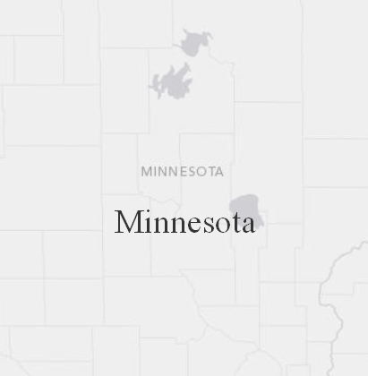
I agree. The basemaps with labels are nice, but it is difficult to work around them if you have your own labels that you wish to add to the map. You have to look at the individual basemaps and their scale dependencies and then remove your own labels ... a complex process. It would be better if you could simply turn the annotation off. See example below with name of Minnesota.
You must be a registered user to add a comment. If you've already registered, sign in. Otherwise, register and sign in.