Turn on suggestions
Auto-suggest helps you quickly narrow down your search results by suggesting possible matches as you type.
Cancel
- Home
- :
- All Communities
- :
- Products
- :
- ArcGIS Online
- :
- ArcGIS Online Ideas
- :
- Choose units of measurement (point longitude and l...
Options
- Subscribe to RSS Feed
- Mark as New
- Mark as Read
- Bookmark
- Follow this Idea
- Printer Friendly Page
- Report Inappropriate Content
Choose units of measurement (point longitude and latitude)
Follow this Idea
388
2
05-06-2014 11:48 PM
Status:
Open
- Mark as New
- Bookmark
- Subscribe
- Mute
- Subscribe to RSS Feed
- Permalink
- Report Inappropriate Content
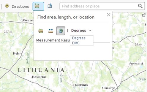
The ArcGIS.com map viewer includes a measuring tool with the capability to find point’s longitude and latitude (i.e. in degrees). Additionally it is desirable for this tool to be able to show location as X and Y, (i.e. in projected coordinates system’s units). The user should be able to choose measurement units based on operational layers’ and basemap’s coordinate systems’ units.
2 Comments
- Mark as Read
- Mark as New
- Bookmark
- Permalink
- Report Inappropriate Content
This is in most users Top Ten wish lists - the ability to identify locations based upon cursor location or point click.
Very surprising that this is still not there in April 2014.
For us in the UK OSGB36 Co-ordinate display is the requirement.
Very surprising that this is still not there in April 2014.
For us in the UK OSGB36 Co-ordinate display is the requirement.
- Mark as Read
- Mark as New
- Bookmark
- Permalink
- Report Inappropriate Content
Would like to get coordinates back in British National Grid or just to use the coordinate system of the current basemap.
You must be a registered user to add a comment. If you've already registered, sign in. Otherwise, register and sign in.