- Home
- :
- All Communities
- :
- Products
- :
- ArcGIS for AutoCAD
- :
- ArcGIS for AutoCAD Questions
- :
- Issues with data & Imagery not displaying as expec...
- Subscribe to RSS Feed
- Mark Topic as New
- Mark Topic as Read
- Float this Topic for Current User
- Bookmark
- Subscribe
- Mute
- Printer Friendly Page
Issues with data & Imagery not displaying as expected, if at all.
- Mark as New
- Bookmark
- Subscribe
- Mute
- Subscribe to RSS Feed
- Permalink
- Report Inappropriate Content
ArcGIS for AutoCAD 400
Enterprise 10.6.1
AutoCAD 2019
Hi, first up, I am not a CAD user, so my CAD knowledge is....minimal....probably ending at being able to spell AutoCAD.
I'm a lowly GIS Administrator trying to provide Spatial sustenance for our long deprived CAD users...and that's not going so well.
I have had our IT dept package up ArcGIS for AutoCAD & deploy it to a few users who use CAD daily & are keen to help get this up & running.
The plug in configures just fine, we can access our portal, see data within & add data to a CAD project.
Then things get a bit weird.
If a user adds a normal pre-existing Map Service, it'll draw & be visible in CAD within Model Space, but if the user flicks to Layout view, the map service is not visible. NO idea why?
Secondly, our hi-res Aerial Photos (Image Server) when added are not even visible in Model space.
Weirdly they were the first few times they were added, but now they aren't at all, and nothing has changed that would account for this with either the imagery or the plug in.
Restart, reboot, sacrifice live stock under a full moon, makes no difference, although the images seem to add to the project, they fail to draw & I do not have the foggiest idea why?
All the items tested behave fine within the GIS Environment, so the services are good.
What am I doing wrong?
- Mark as New
- Bookmark
- Subscribe
- Mute
- Subscribe to RSS Feed
- Permalink
- Report Inappropriate Content
Hi,
map and image services are not supported in paper space only in model space because of this they are not shown in paper space. If you would like to see the map in paper space you need to "extract" the map. This will create a raster snapshot of the map at your current view, obviously this will no longer be dynamic. To extract, you can right click the map or image layer in the TOC and select "extract"
The second problem you are seeing is likely related to a bug in the 400 version of ArcGIS for AutoCAD. You can get around this by downloading the latest version 400.1. Another workaround is to have a map layer along with an image layer in your drawing. The bug only presents itself when only image services are added.
I hope this helps! Let me know if not.
- Mark as New
- Bookmark
- Subscribe
- Mute
- Subscribe to RSS Feed
- Permalink
- Report Inappropriate Content
Thanks Randy, I will look for the updated version & get IM to push it out to the users, see if that sorts the Aerials out.
It's probably just my GIS back ground, but not having data added in Model space be visible automatically in paper space seems a strange decision. Is there a reason why that is?
I'll pass the info on Extract along & see how the team goes.
Thanks again.
- Mark as New
- Bookmark
- Subscribe
- Mute
- Subscribe to RSS Feed
- Permalink
- Report Inappropriate Content
No worries! That should fix the issues you were seeing.
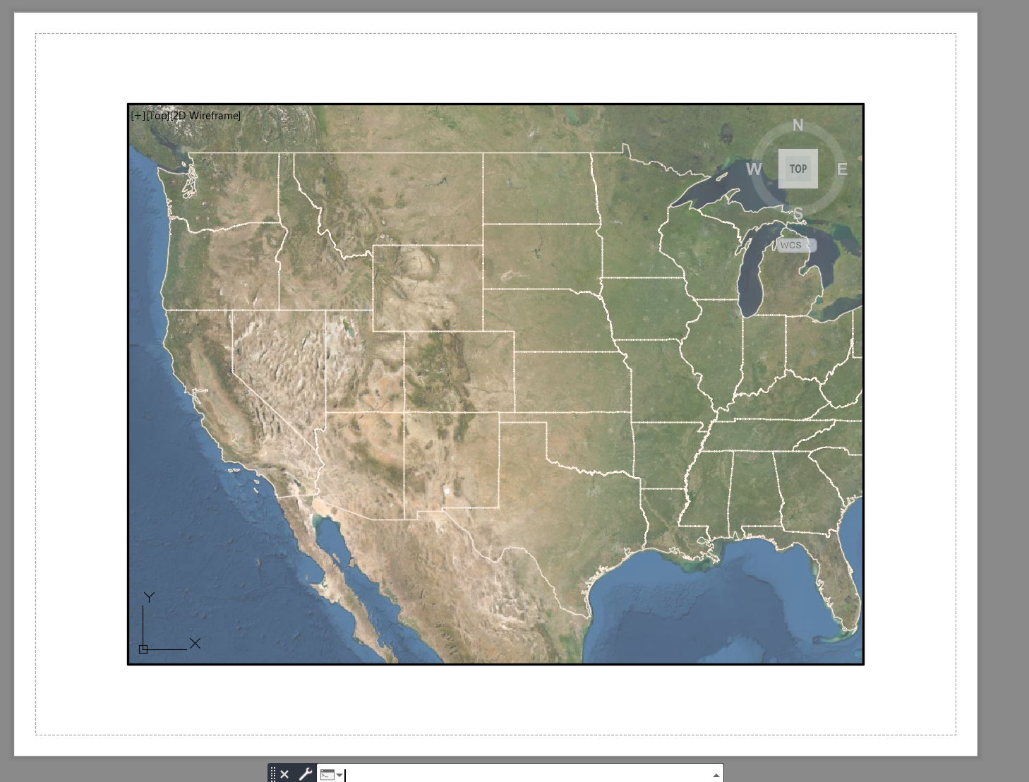
The reason is that we do not support plotting (printing) of map services, while you can do it if you extract, most maps will print in very poor quality. If you do need to see the map in paper space, you must use a viewport into model space from the paper space layout. This will show you the map, or you need to extract as I mentioned earlier. I attached an example of a dynamic map service shown in a paperspace viewport.
- Mark as New
- Bookmark
- Subscribe
- Mute
- Subscribe to RSS Feed
- Permalink
- Report Inappropriate Content
Turns out, 400.1 is the version we have installed.
I cant open the Attachment as it's blocked at this end.
Is there a comprehensive list of what is & isn't supported via this plug in?
- Mark as New
- Bookmark
- Subscribe
- Mute
- Subscribe to RSS Feed
- Permalink
- Report Inappropriate Content
@Randy_Garcia Just made an accidental discovery.
All our imagery is in both WGS84 & GDA2020 MGA Zone 54 (long boring story).
I just added an image accidently that was in WGS84, instead of GDA2020, & it worked fine, so I added another, also fine.
Closed CAD, reopened, set Coords to GDA2020, added same initial image but in GDA2020, didn't work. Next image in GDA2020, also didn't work.
Could the coordinate system be the problem? GDA2020 is the one we use in anger, not WGS84.
Could the 2019 AutoCAD not be dealing with GDA2020 data for some reason?