- Home
- :
- All Communities
- :
- Developers
- :
- JavaScript Maps SDK
- :
- JavaScript Maps SDK Questions
- :
- Using server-side renderer for image service
- Subscribe to RSS Feed
- Mark Topic as New
- Mark Topic as Read
- Float this Topic for Current User
- Bookmark
- Subscribe
- Mute
- Printer Friendly Page
- Mark as New
- Bookmark
- Subscribe
- Mute
- Subscribe to RSS Feed
- Permalink
- Report Inappropriate Content
I have a Living Atlas layer shared on my portal (not accessible outside my intranet sadly). The layer includes some pre-built raster functions. What I'm trying to do is load the layer into a webmap using the 3.28 ArcGIS JS API and apply a specific raster function to affect the appearance.
Based on my reading here and here, it seems like this should be possible. The layer loads just fine but the raster function is not being applied. It's coming in as the default grey-scale stretch symbology and with no helpful errors in the console to help me along. Can anyone point me in the right direction?
<!DOCTYPE html>
<html>
<head>
<meta http-equiv="Content-Type" content="text/html; charset=utf-8">
<meta name="viewport" content="initial-scale=1, maximum-scale=1,user-scalable=no"/>
<title>Raster Function Test</title>
<link rel="stylesheet" href="https://js.arcgis.com/3.28/esri/css/esri.css">
<style>
html,
body,
#mapDiv {
padding: 0;
margin: 0;
height: 100%;
width: 100%;
}
</style>
<script src="https://js.arcgis.com/3.28/"></script>
<script>
require([
'esri/map',
'esri/layers/ArcGISImageServiceLayer',
'esri/layers/ImageServiceParameters',
'esri/layers/RasterFunction',
'dojo/domReady!'
],
function(
Map,
ArcGISImageServiceLayer,
ImageServiceParameters,
RasterFunction
) {
var map = new Map("mapDiv", {
basemap: "topo",
center: [-122.45, 37.75],
zoom: 13,
});
var serviceRFT = new RasterFunction({
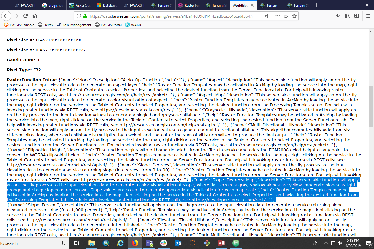
functionName: "Slope_Degrees_Map",
variableName: "Raster"
});
var params = new ImageServiceParameters();
params.noData = 0;
var slopeImageLyr = new ArcGISImageServiceLayer("https://data.farwestern.com/portal/sharing/servers/a1ba14d09df14f42ad6ca3c4bcebf3b4/rest/services/WorldElevation/Terrain/ImageServer", {
visible: true,
id: 'la_slope',
opacity: 0.7,
renderingRule: serviceRFT,
imageServiceParameters: params
});
map.addLayer(slopeImageLyr);
});
</script>
</head>
<body>
<div id="mapDiv"></div>
</body>
</html>
Solved! Go to Solution.
Accepted Solutions
- Mark as New
- Bookmark
- Subscribe
- Mute
- Subscribe to RSS Feed
- Permalink
- Report Inappropriate Content
Hi there,
Set the renderingRule on imageServiceParameters in the layer constructor. So in your code, move the rendering rules to imageServiceParameters. The reason is that renderingRule is not an option for the image layer constructor but imageServiceParameters is.
Hope this makes sense,
-Undral
- Mark as New
- Bookmark
- Subscribe
- Mute
- Subscribe to RSS Feed
- Permalink
- Report Inappropriate Content
Thank you for your help, Undral! That did the trick.