- Home
- :
- All Communities
- :
- User Groups
- :
- 911 GIS
- :
- Questions
- :
- Corine Land Cover joining tables
- Subscribe to RSS Feed
- Mark Topic as New
- Mark Topic as Read
- Float this Topic for Current User
- Bookmark
- Subscribe
- Mute
- Printer Friendly Page
Corine Land Cover joining tables
- Mark as New
- Bookmark
- Subscribe
- Mute
- Subscribe to RSS Feed
- Permalink
- Report Inappropriate Content
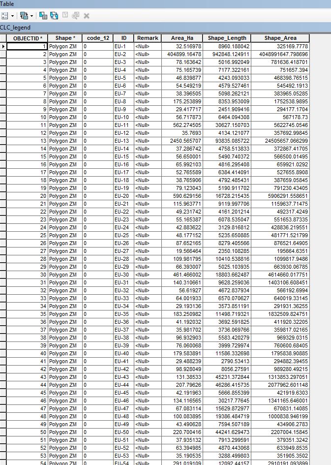
I am trying to merge Corine Land Cover attribute tables in such as way as to end up with a table that shows every type of land cover present in Kosovo (with area_ha, shape...and all). So that i could go to the attribute table and select the specific types of land covers, and they will appear as selected on the map. I am almost 90% certain that i was able to do this last year, but i can not ever remember how i did it.
I am using the official geodatabase downloaded from Corine. In can be accessed here:
Any idea how i could accomplish this?
(in attached pics clc1 is the original attribute table; clc22 is the other Corine table that i want to merge with the first; and clc3 is just to let you know what i was able to do so far and that visually i am getting the results that i want).