- Home
- :
- All Communities
- :
- Products
- :
- 3D
- :
- 3D Questions
- :
- Creating a 3D model out of a DEM
- Subscribe to RSS Feed
- Mark Topic as New
- Mark Topic as Read
- Float this Topic for Current User
- Bookmark
- Subscribe
- Mute
- Printer Friendly Page
Creating a 3D model out of a DEM
- Mark as New
- Bookmark
- Subscribe
- Mute
- Subscribe to RSS Feed
- Permalink
- Report Inappropriate Content
Hello,
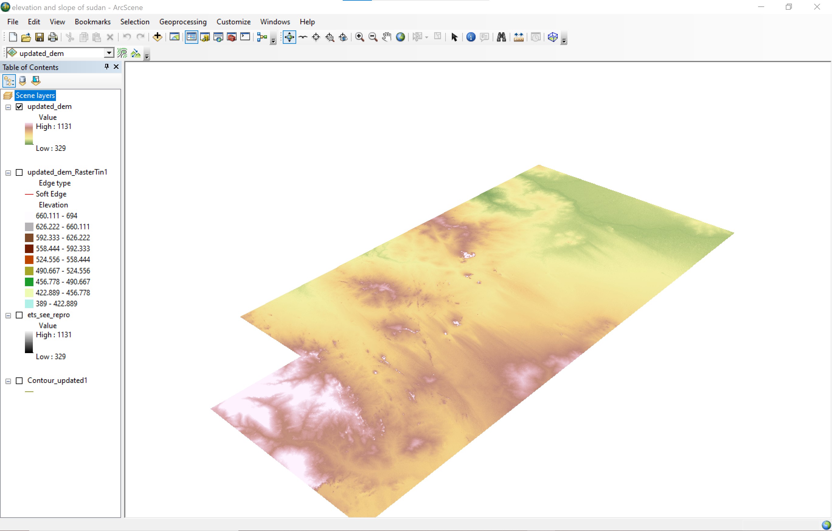
I am struggling with something simple in ArcScene. I have created TINs and DEMs and turned them into 3D surfaces many times in the past but I am struggling for some reason now. I took a series of DEMs from USGS Earth Explorer and stitched them together in ArcMap to create one DEM. I then used this layer for all my geo-recessing. It is in the GCS_WGS_1984 coordinate system, which I did not think was an issue. When I try to select the "floating on a custom surface" selection, it turns my DEM into a weird blob/line figure instead of 3D.
To rectify this, I then used the project tool to change the coordinate system to WGS_1984_UTM_Zone_36N. It still does the same thing when I try to select the "floating on a custom surface selection".
Has anyone ever encountered this before? Is it a glitch?
- Mark as New
- Bookmark
- Subscribe
- Mute
- Subscribe to RSS Feed
- Permalink
- Report Inappropriate Content
Could you share the extent of the layer (for each spatial reference)?
Think Location
- Mark as New
- Bookmark
- Subscribe
- Mute
- Subscribe to RSS Feed
- Permalink
- Report Inappropriate Content
add the dem to a new map with no other data or basemaps.... is it normal?
... sort of retired...
- Mark as New
- Bookmark
- Subscribe
- Mute
- Subscribe to RSS Feed
- Permalink
- Report Inappropriate Content
The DEM functions normal in ArcMap and in ArcScene without other data or basemaps. It is only when I try to turn it into a 3D model that it starts behaving this way.
- Mark as New
- Bookmark
- Subscribe
- Mute
- Subscribe to RSS Feed
- Permalink
- Report Inappropriate Content
How did you turn your DEM into a surface? I'm trying to turn mine into a multipatch to do an intersection with other multipatches.
- Mark as New
- Bookmark
- Subscribe
- Mute
- Subscribe to RSS Feed
- Permalink
- Report Inappropriate Content
Are you stitching the DEM layers together to create one continuous DEM raster and then turning it into the surface you want?
Here are some helpful links:
https://pro.arcgis.com/en/pro-app/2.8/tool-reference/conversion/multipatch-to-raster.htm