- Home
- :
- All Communities
- :
- Products
- :
- 3D
- :
- 3D Blog
- :
- Extract building footprints with the 3D Basemap so...
Extract building footprints with the 3D Basemap solution
- Subscribe to RSS Feed
- Mark as New
- Mark as Read
- Bookmark
- Subscribe
- Printer Friendly Page
- Report Inappropriate Content
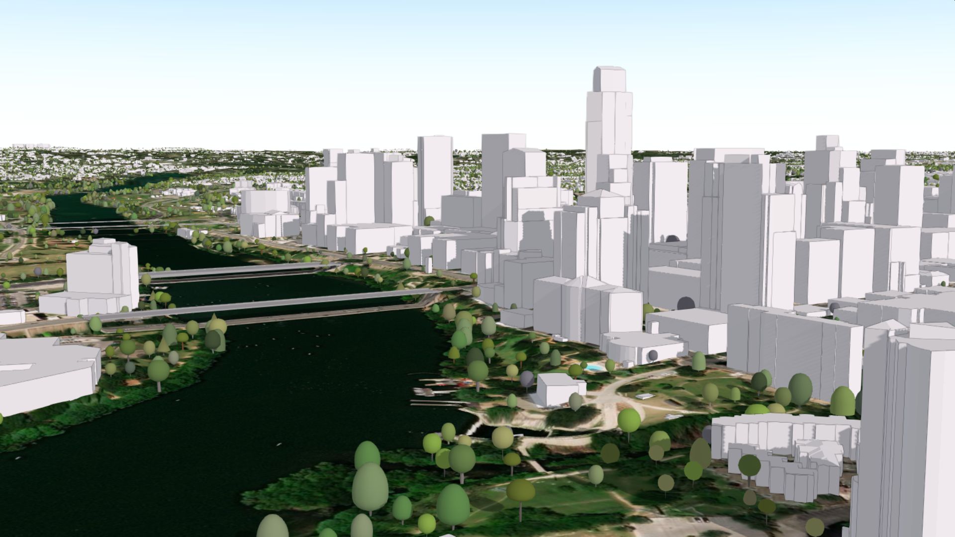
The February 2020 release of the Local Government 3D basemap solution offers some new exciting functionality. Leveraging improved geo-processing tools in ArcGIS Pro 2.5, it is now possible to extract high quality building footprints from your lidar which in turn can be used to generate 3D buildings with roof forms.
With this new capability, the Local Government 3D Basemap solution now only requires lidar as input to generate a 3D basemap with 3D buildings, 3D trees, building footprints and detailed elevation surfaces. For best results, buildings need to be classified in the lidar and the quality of the resulting footprints and 3D buildings is dependent on the point density of your lidar.
Download your copy of the solution here:
Local Government 3D Basemaps | ArcGIS Solutions for Local Government
More information on the footprint extraction from lidar can be found here:
Building Footprint extraction - Local Government 3D Basemaps | ArcGIS Solutions for Local Government
You must be a registered user to add a comment. If you've already registered, sign in. Otherwise, register and sign in.