- Home
- :
- All Communities
- :
- Products
- :
- ArcGIS GeoEvent Server
- :
- ArcGIS GeoEvent Server Blog
- :
- FlightAware Connector for GeoEvent 10.3 released
FlightAware Connector for GeoEvent 10.3 released
- Subscribe to RSS Feed
- Mark as New
- Mark as Read
- Bookmark
- Subscribe
- Printer Friendly Page
- Report Inappropriate Content
![]()
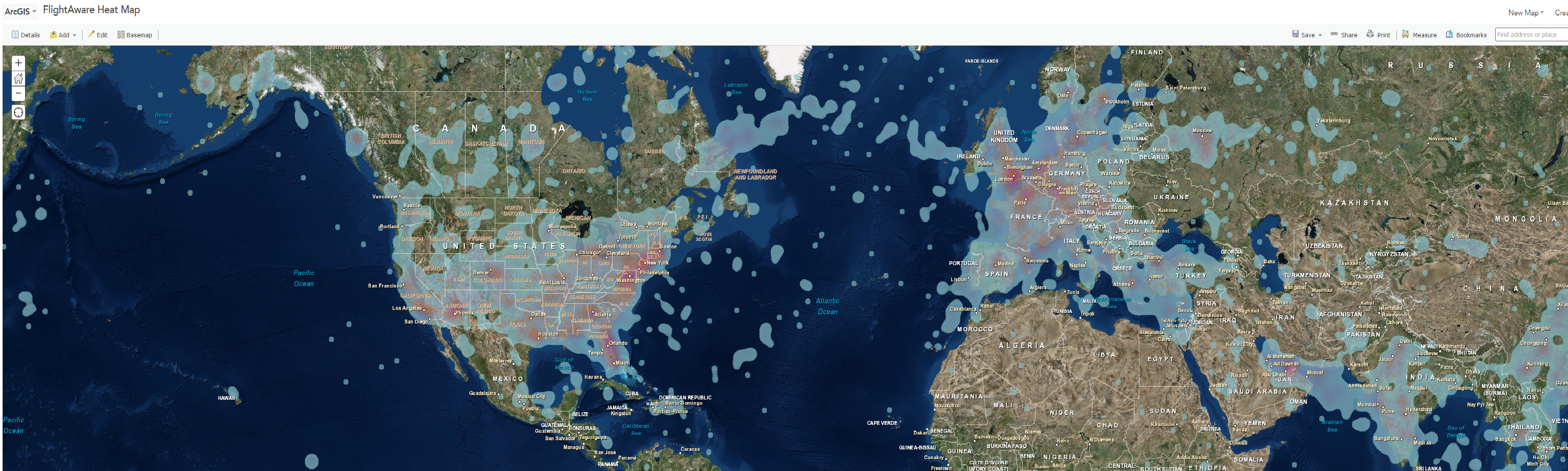
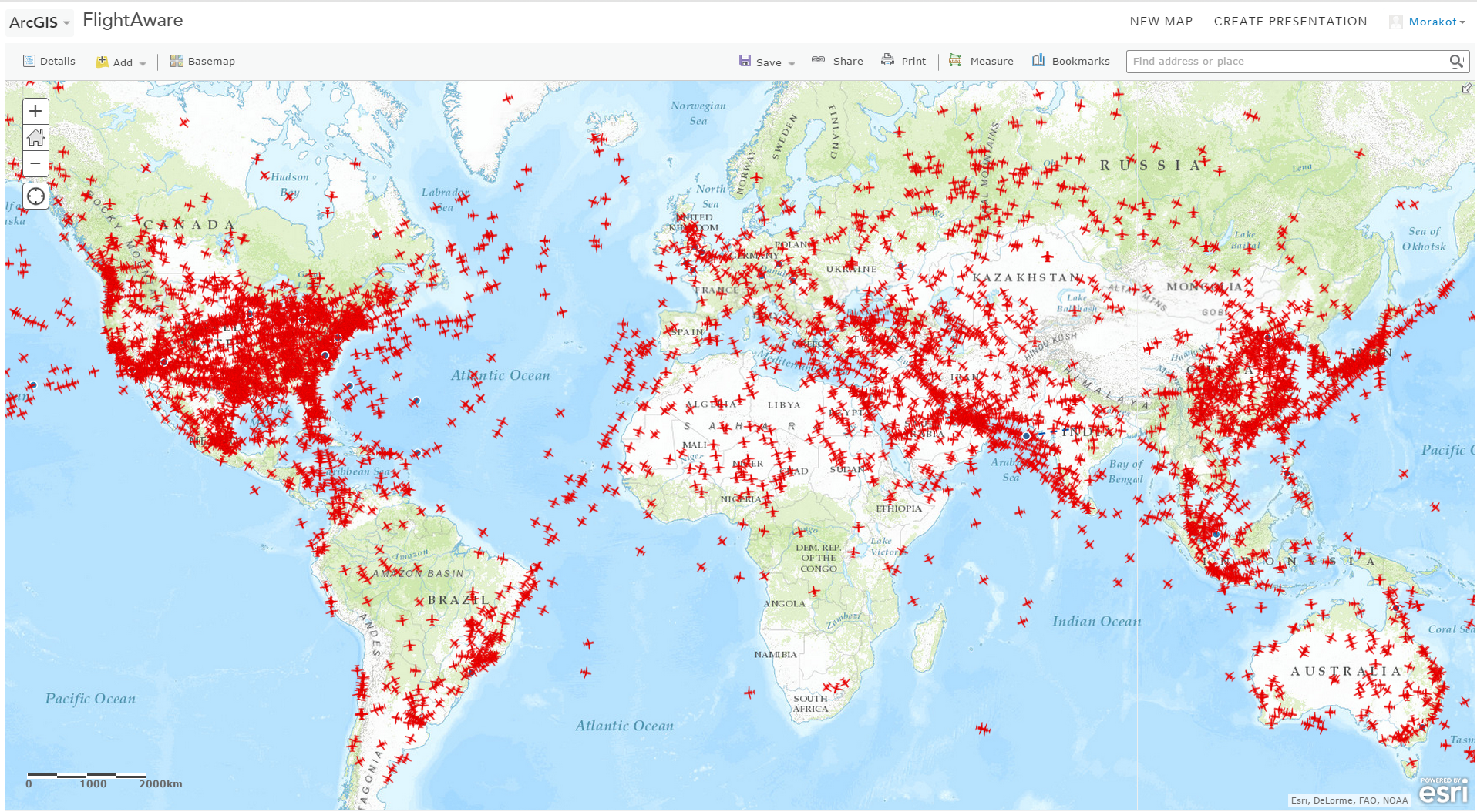
The Esri GeoEvent team has been working with FlightAware, a leading provider of worldwide aviation flight tracking data in over 50 countries across North America, Europe, and Oceania. The FlightAware Connector for GeoEvent is now released on the GeoEvent Gallery. The current release is for GeoEvent 10.3.x. The connector uses the FlightAware Firehose API to receive the real-time data stream from the FlightAware data service directly into GeoEvent. Data received from the Firehose API includes flight positions (e.g., RADAR, ADS-B, Mode S, etc ). Using GeoEvent Stream Service allows real-time visualization of flights on Esri WebMap as well as other GIS applications. The connector supports all five data types: Flight Plan, Departure, Arrival, Cancellation, Position. The connector can be downloaded from here. You will need to Due to the high volume and high frequency data, make sure to have a strong and well-tune machine to receive the real-time data stream from the FlightAware Firehose. The accompanying document provides recommendation on machine and GeoEvent tuning steps. You also need an account/subscription with FlightAware to receive the data. Please visit the FlightAware website for more information.
You must be a registered user to add a comment. If you've already registered, sign in. Otherwise, register and sign in.