Mostly Mapping Map of the Day - ArcGIS for Wildfires
- Subscribe to RSS Feed
- Mark as New
- Mark as Read
- Bookmark
- Subscribe
- Printer Friendly Page
- Report Inappropriate Content
For the last few days I've had a first-hand view of the smoke from the Ferguson Fire blowing over the Sierra Nevada, from the west side on the outskirts of Yosemite Valley (currently closed due to the fire) to the town of Mammoth Lakes on the east side where I currently am. Even the crows were complaining about the smoke. I could only imagine what firefighters had to endure on the front lines of the fire, we should never forget what they do and their sacrifices.
There are many maps that have been created for this fire, and the numerous other fires that now dominate California. But for this Map of the Day installment I chose this one:
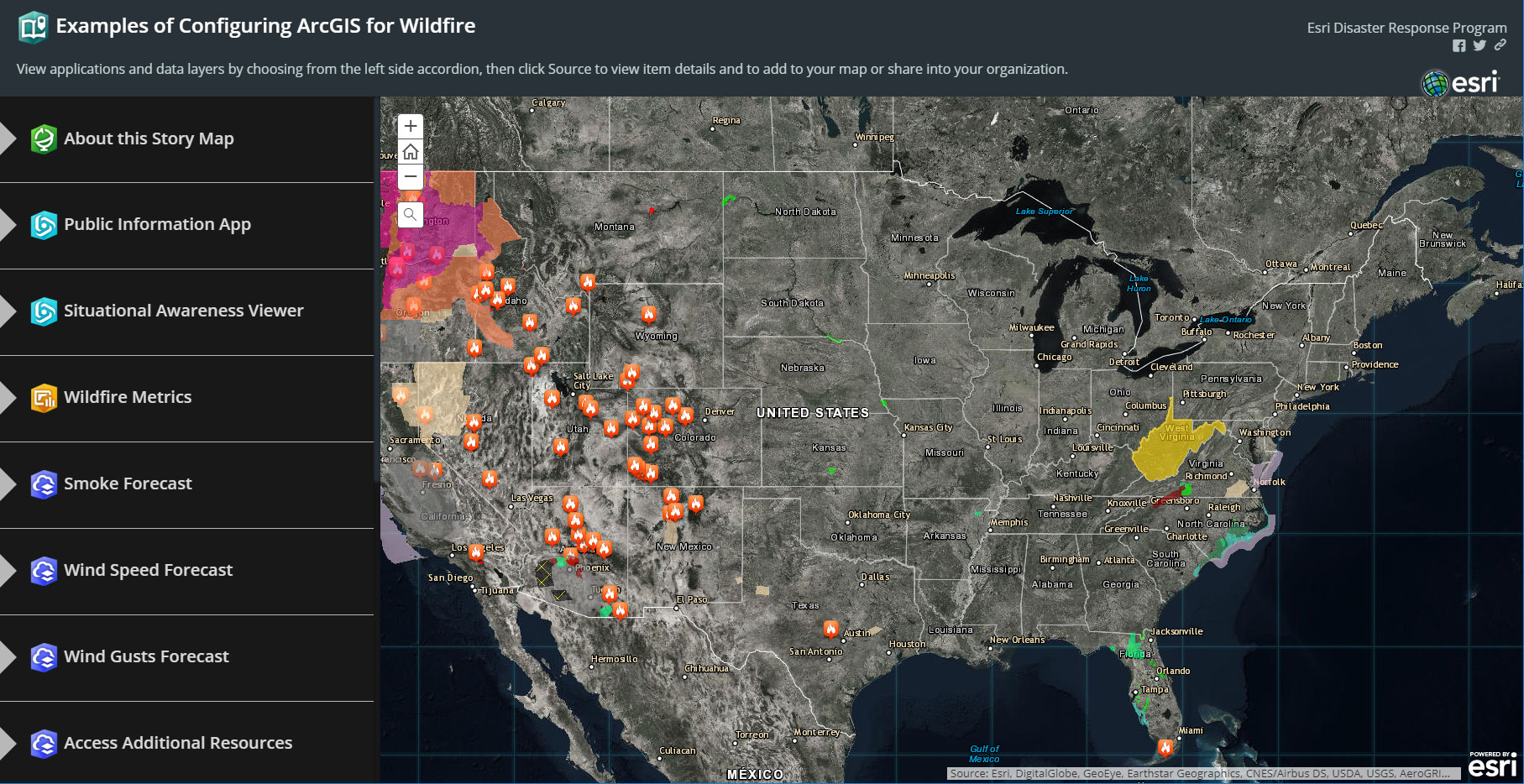
It's a Story Map, specifically a Story Map Series using the Side Accordion layout, that serves as a "binder" for other apps and information. Using this Story Map you can discover which apps are useful and frequently used for wildfire response, and which Living Atlas layers can be leveraged to provide authoritative content. It's a great library of useful apps and content created by the Esri Disaster Response Team. See their ArcGIS portal for more information and additional maps and apps.
You must be a registered user to add a comment. If you've already registered, sign in. Otherwise, register and sign in.