User Contributions have Improved ArcGIS Online Basemaps and the Living Atlas for the Second Time This Month
- Subscribe to RSS Feed
- Mark as New
- Mark as Read
- Bookmark
- Subscribe
- Printer Friendly Page
- Report Inappropriate Content
For the second time this month, The ArcGIS Content Team has improved the Community Basemaps by incorporating both new and updated content to the ArcGIS Living Atlas of the World. Thanks to the user community, the World Topographic Map was refreshed with 7 new contributors and 8 updates for cities, counties and universities throughout the United States.
Thanks to our growing user community, our basemaps are being updated more frequently and with better content, making these maps more accurate and more useful for everyone.
We’ll welcome our newest contributors first.
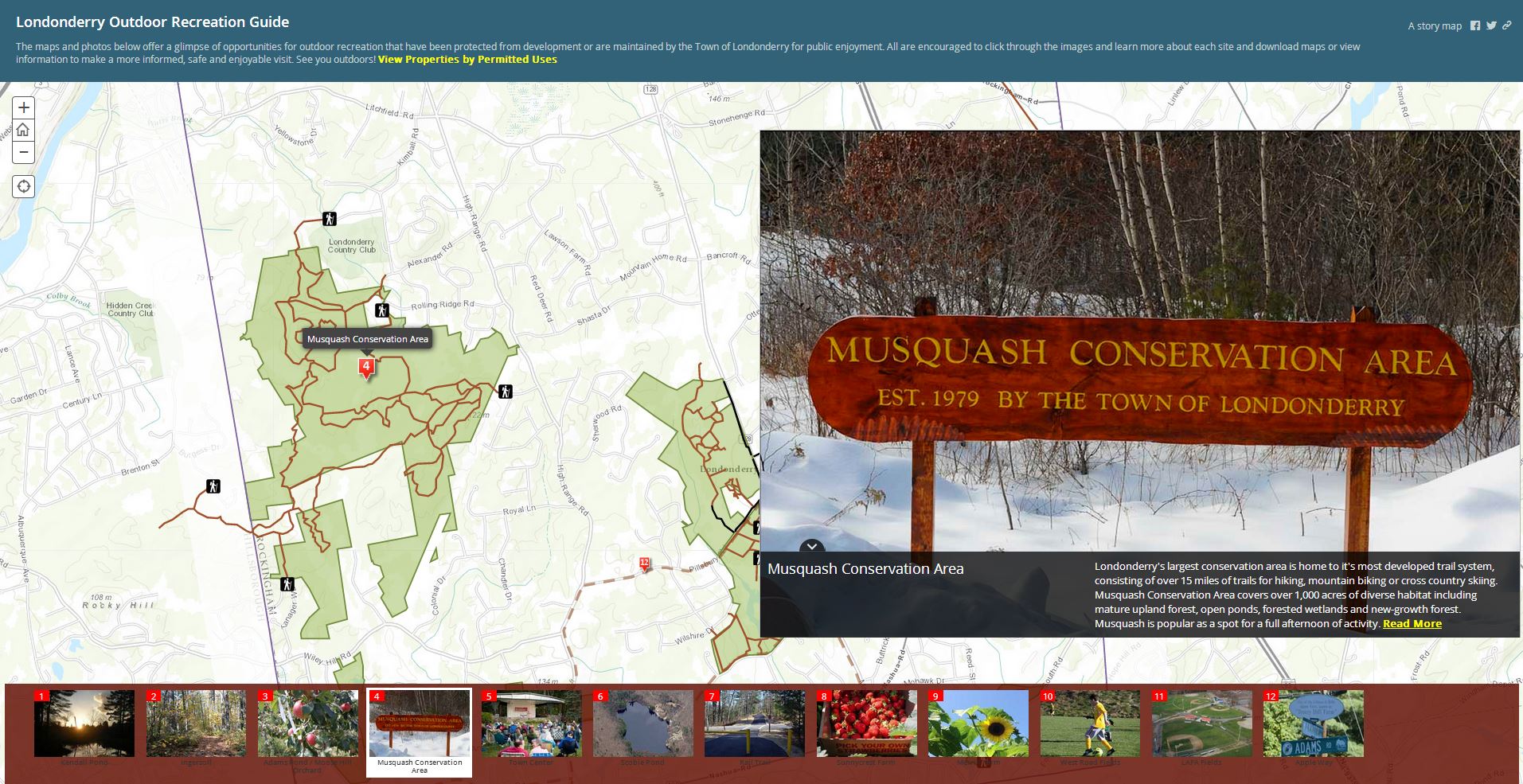
Londonderry, NH 1:9K
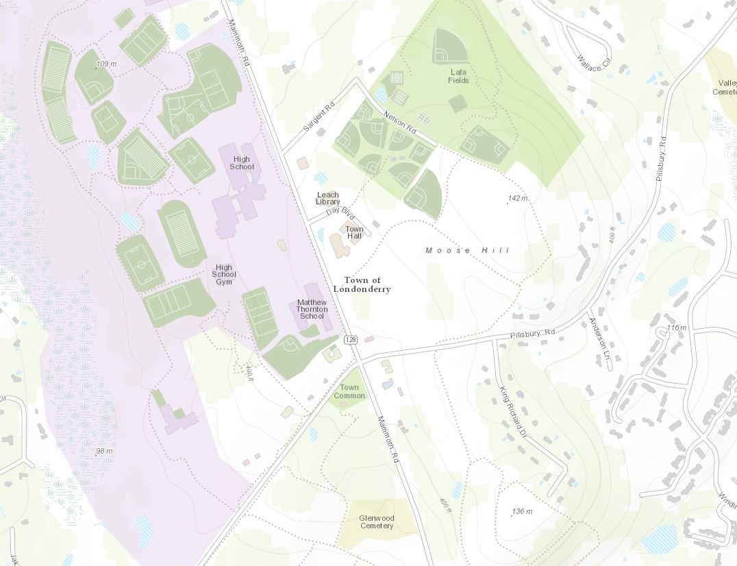
Londonderry, NH (Topo 1:9k to 1:1k) is wasting no time. They are busy incorporating their content into great web apps like this one that describes the area’s outdoor recreation.
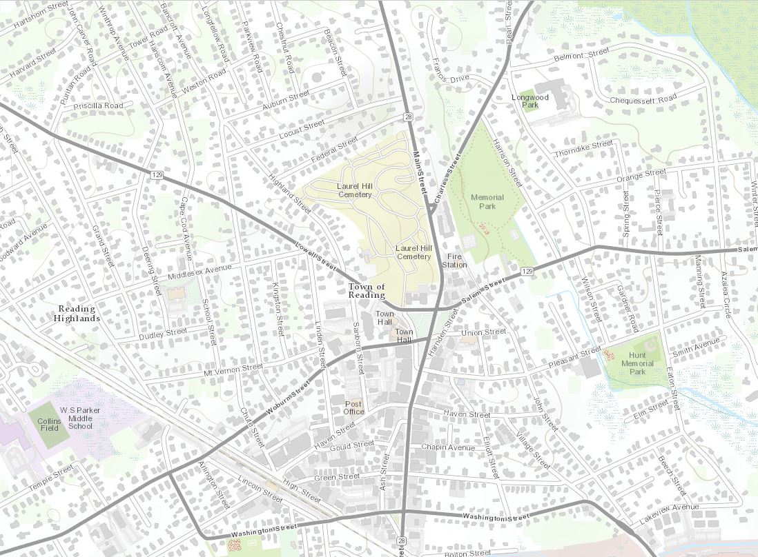
Also in the northeast is Reading, MA (Topo 1:9k to 1:1k).
Reading, MA 1:9K
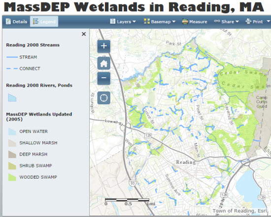
Reading is also recognizing the benefits that comes with Community Maps participation by creating a number of useful web maps and apps like this wetlands map.
Sliding down to the southeast, we find Cabarrus County, NC (Topo 1:9k to 1:1k).
Cabarrus County, NC 1:9K
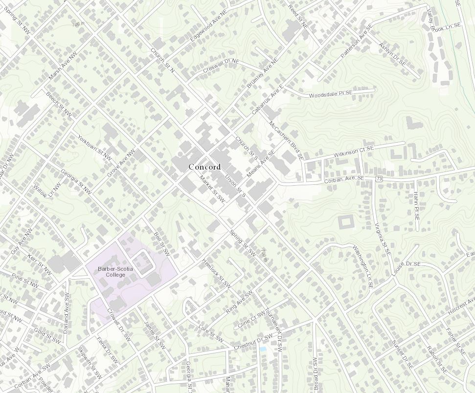
Cabarrus County is cranking out all kinds of web maps and apps that include, zoning maps, polling places, congressional districts, and lots more. Here is a great example that incorporates many important community topics into one web map.

Coweta County, GA (Topo 1:9k to 1:1k) has also joined our community.
Coweta County, GA (Newnan, GA county seat) 1:9K
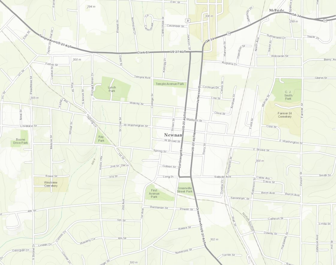
We are looking forward to seeing some useful maps and apps for this area soon.
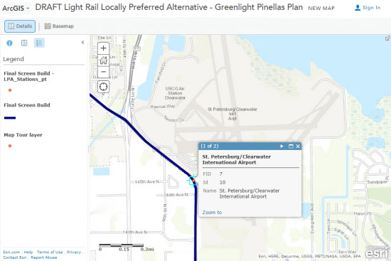
Rounding out the new contributors in the southeast is Pinellas County, FL (Topo 1:9k to 1:1k).
Pinellas County, FL (Clearwater, FL county seat) 1:9K
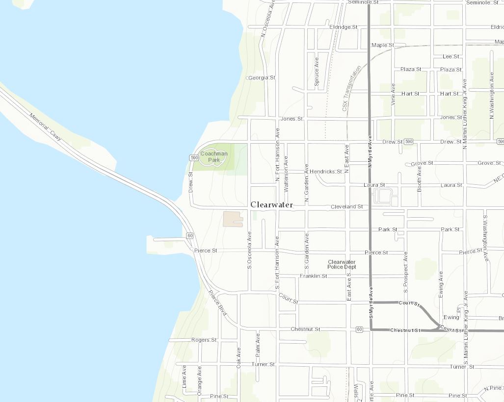
The Greenlight Pinellas Plan is illustrated through this web map, offering an interactive look at rail alternatives.
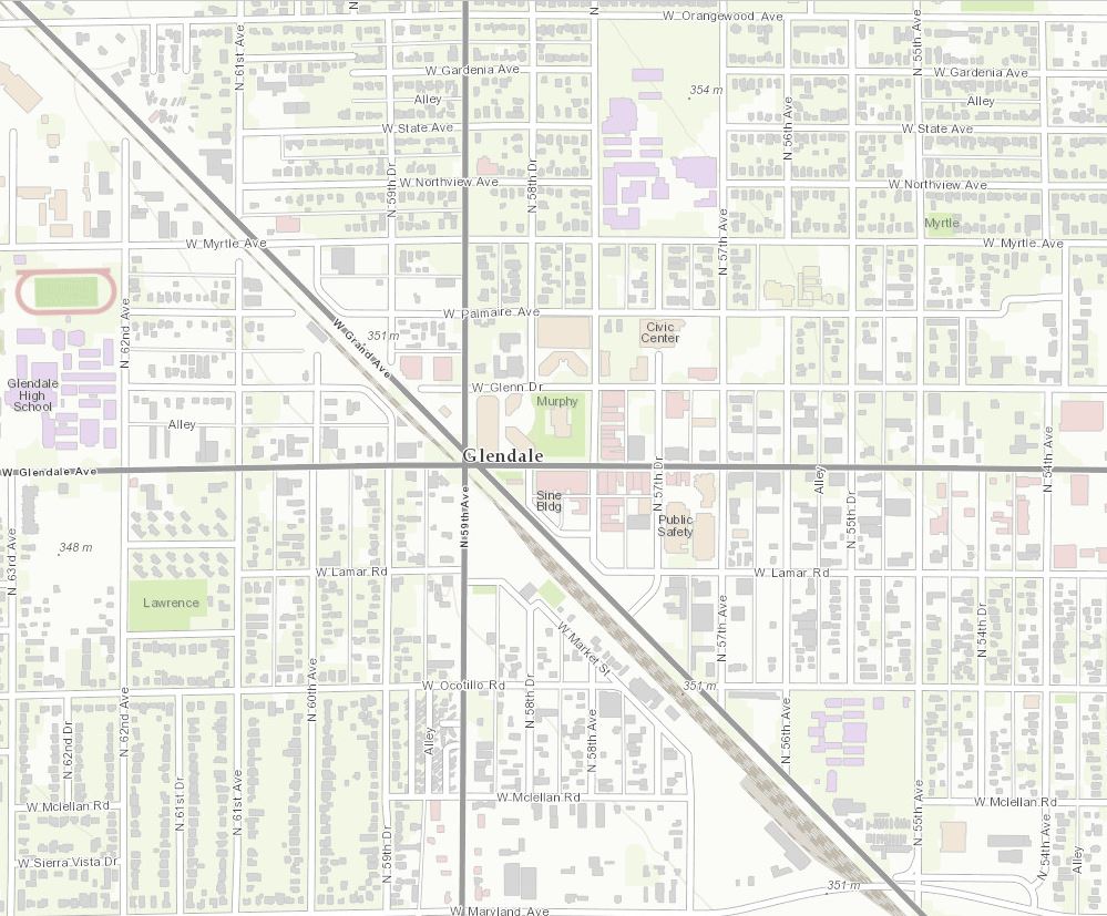
Heading west to Arizona is Glendale, AZ (Topo 1:9k to 1:1k), home of the 2015 NFL Super Bowl.
Glendale, AZ 1:9K
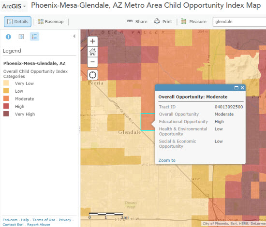
Glendale is crafting a variety of interesting web maps like this one illustrating child opportunity index. The Child Opportunity Index is calculated based on Education, Health & Built Environment and Neighborhood Social & Economic Opportunity indicators.
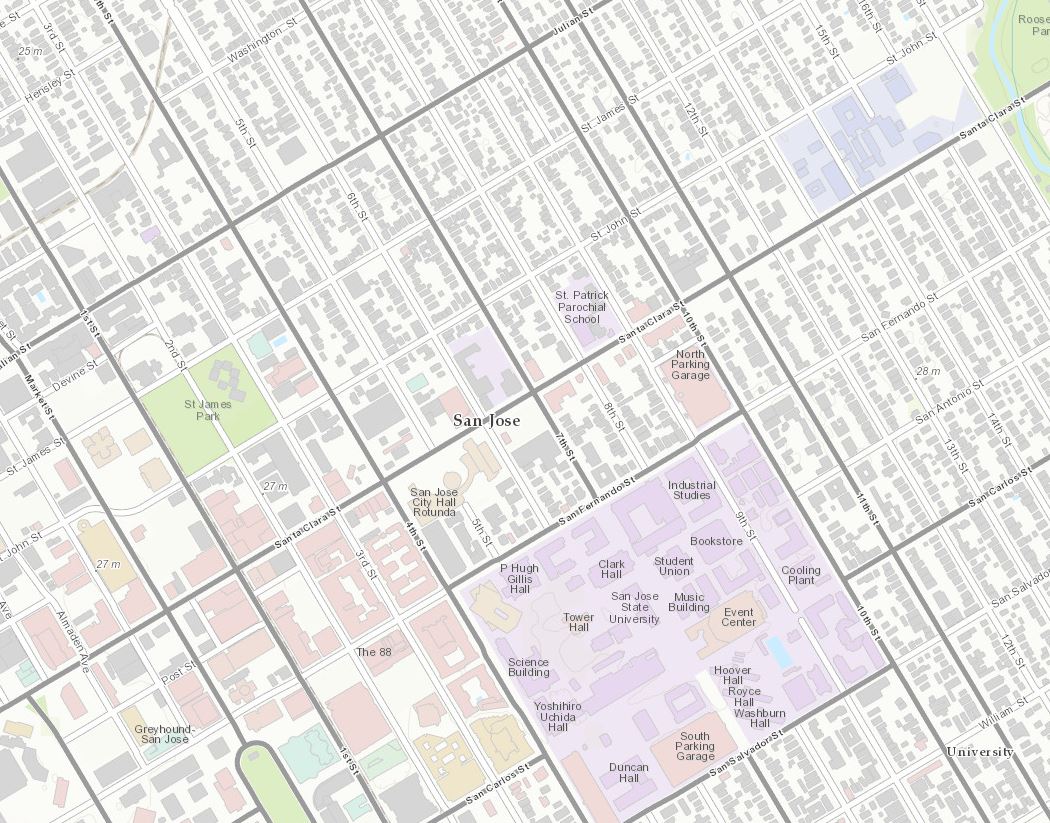
Our final new contributor is Santa Clara County, CA (Topo 1:9k to 1:1k).
Santa Clara County, CA (San Jose, CA county seat) 1:9K
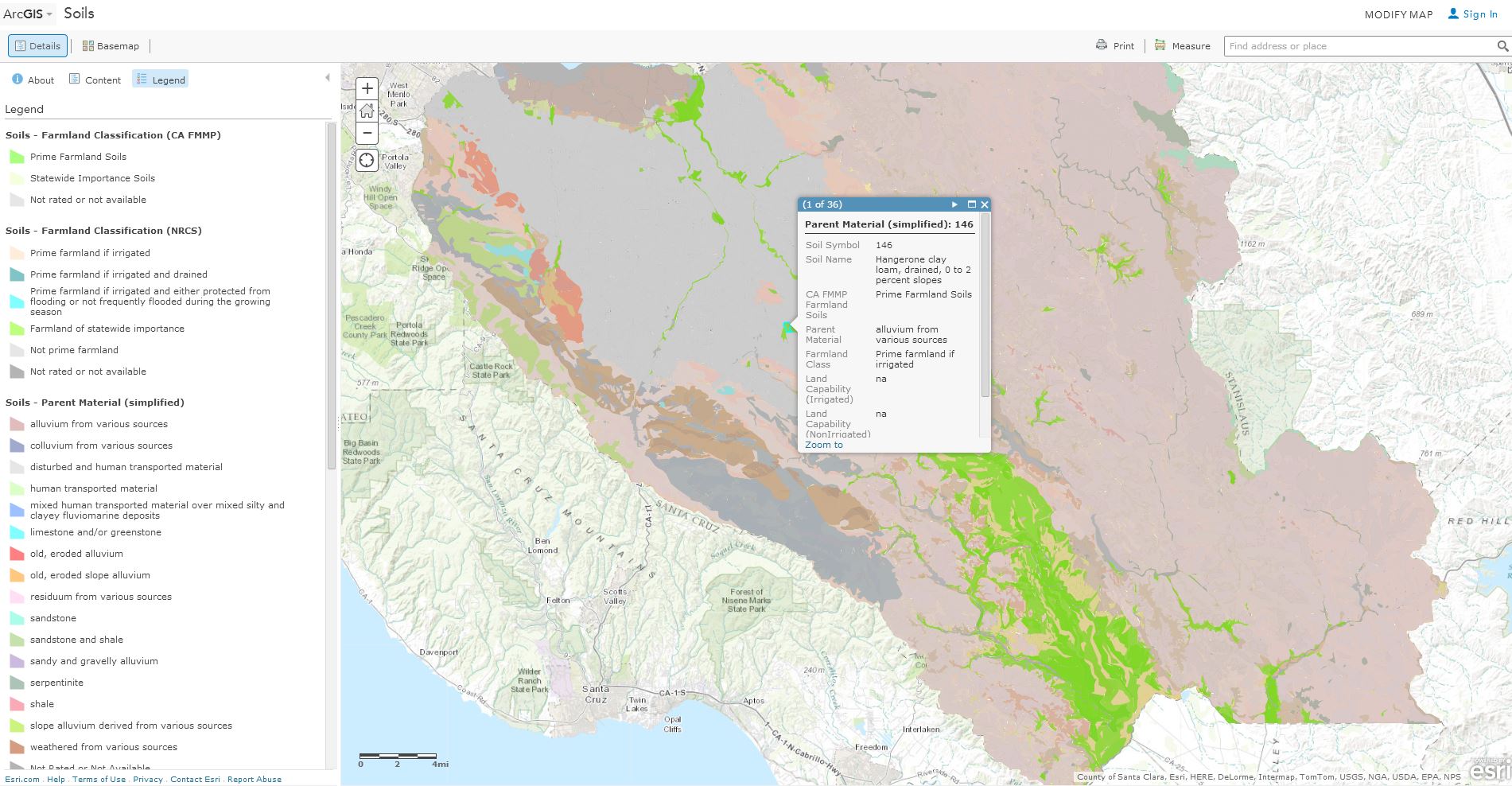
Santa Clara County has successfully created this web map describing soils data. This GIS Service maybe used in GIS software, and is optimized for Esri’s ArcMap software. A great example of Web GIS!
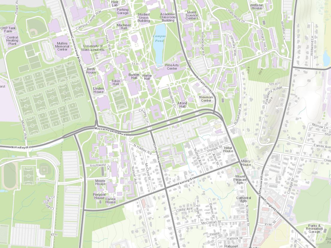
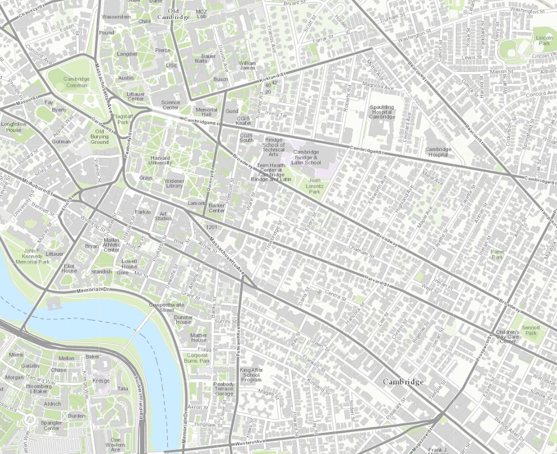
In addition to the great new contributions, there are also 9 updates. Beginning in the northeast is Amherst and UMass Amherst, MA (Topo 1:9k to 1:1k) and Cambridge, MA and Harvard University (Topo 1:9k to 1:1k).
Amherst and UMass Amherst, MA 1:9K
Cambridge, MA and Harvard University 1:9K
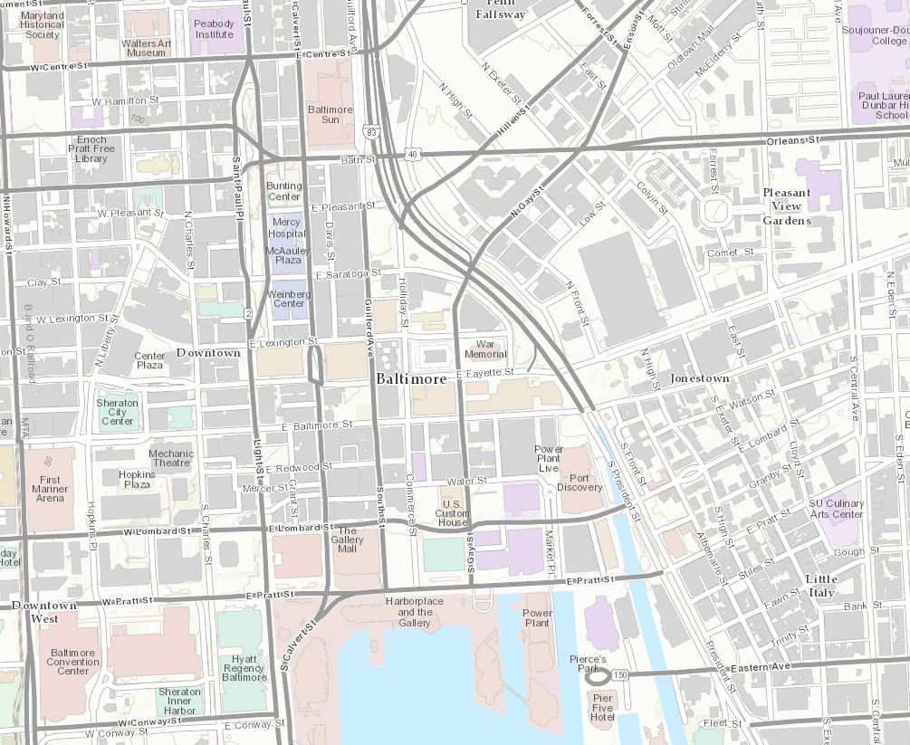
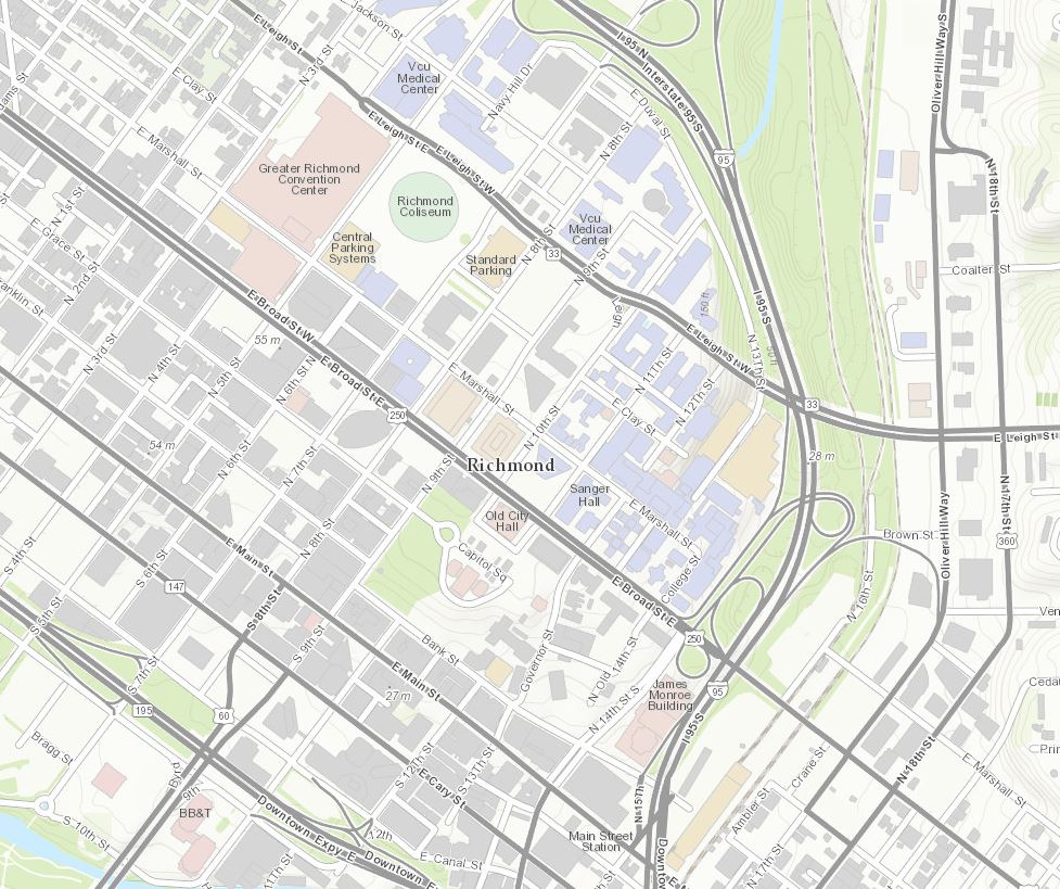
Swinging down to the mid-Atlantic, we have Baltimore, MD (Topo 1:9k to 1:1k) and Henrico County, VA (Topo 1:9k to 1:1k).
Baltimore, MD 1:9K
Henrico County, VA (Richmond, VA county seat) 1:9K
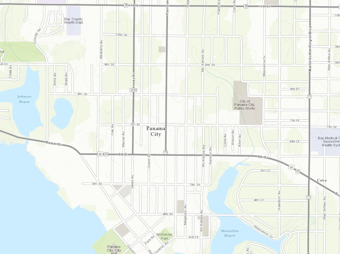
Farther south to the Sunshine State is Bay County, FL (Topo 1:9k to 1:1k).
Bay County, FL (Panama City, FL county seat) 1:9K
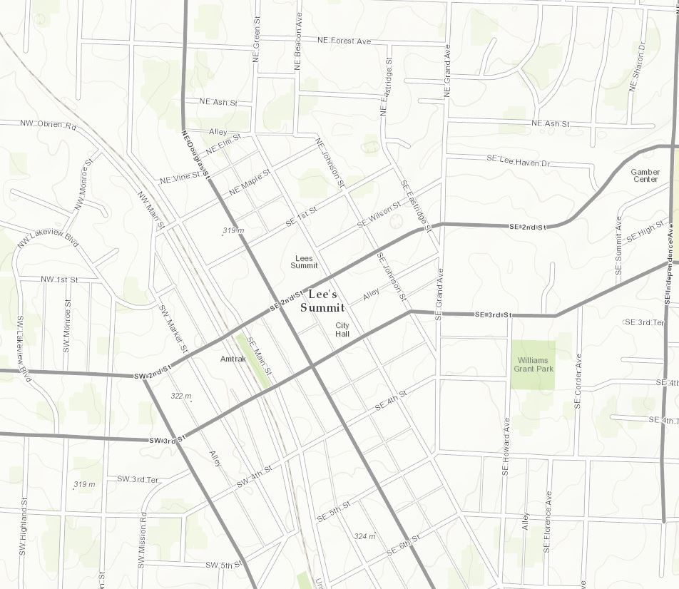
Heading west to the nation’s mid-section is Lee’s Summit, MO (Topo 1:9k to 1:1k).
Lee’s Summit, MO 1:9K
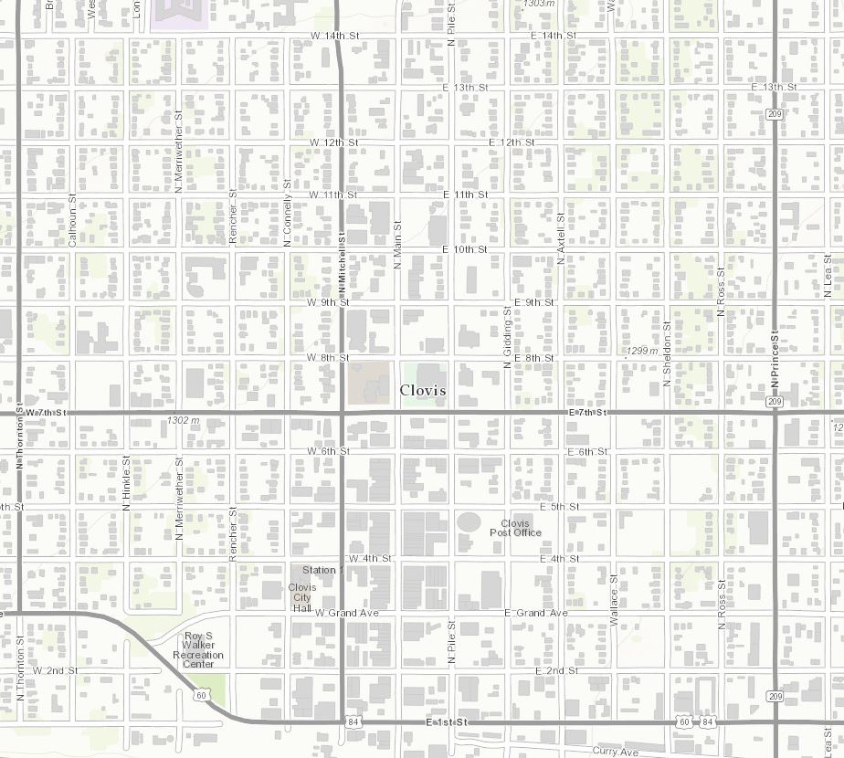
Our next update is in the southwest, Clovis and Curry County, NM (Topo 1:9k to 1:1k).
Clovis and Curry County, NM 1:9K
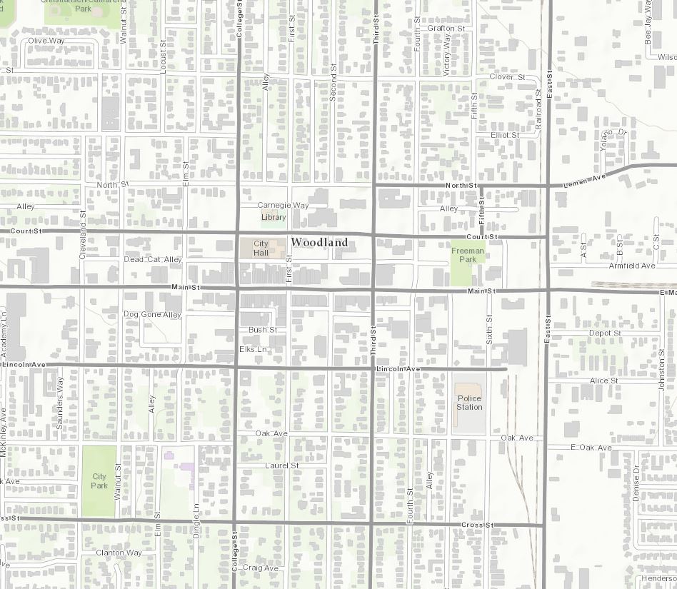
Finally, our last update can be found on the west coast in Woodland, CA (Topo 1:9k to 1:1k).
Woodland, CA 1:9K
Showcase your organization! If you work for an organization that is benefiting from Community Maps Participation and would like to share your work with our expanding user community, please contact Shane Matthews (smatthews@esri.com) or Community Maps (communitymaps@esri.com) and tell us your story and have a chance to be featured in a Community Maps Webinar segment.
Please join the Esri Community Maps team on September 25th at 11:00 a.m. – noon, for another free webinar filled with exciting news about the Community Maps Program.
Tune in to stay current on what’s happening with Esri Community Maps. Join us on the 25th! Here’s how you can connect to the webinar, or just click here to add it to your calendar:
Topic: Community Maps Webinar
Date and Time: Thursday, September 25, 2014, 11:00 a.m. (PDT)
Audio for the conference is available via your computer speakers and phone or teleconference. The following is connection information for the teleconference option:
Toll-free call-in number (US/Canada): 855-244-8681
Call-in toll number (US/Canada): 650-479-3207
Toll-free dialing restrictions
Access code: 803 457 805
Topics will include…
- Deane Kensok, manager of ArcGIS Content, will present an overview of the new Living Atlas of the World and describe the important role that Community Maps plays in building this unique resource.
- Brett Horr of the Town of York, Maine, will share how participation in the Community Maps program benefits small municipalities.
- Latest news from the Community Maps team and time for questions.
Here’s a list of all the community contributors for this release:
- Londonderry, NH (Topo 1:9k to 1:1k) New Contributor
- Reading, MA (Topo 1:9k to 1:1k) New Contributor
- Cabarrus County, NC (Topo 1:9k to 1:1k) New Contributor
- Coweta County, GA (Topo 1:9k to 1:1k) New Contributor
- Pinellas County, FL (Topo 1:9k to 1:1k) New Contributor
- Glendale, AZ (Topo 1:9k to 1:1k) New Contributor
- Santa Clara County, CA (Topo 1:9k to 1:1k) New Contributor
- Amherst and UMass Amherst, MA (Topo 1:9k to 1:1k) Update
- Cambridge, MA and Harvard University (Topo 1:9k to 1:1k) Update
- Baltimore, MD (Topo 1:9k to 1:1k) Update
- Henrico County, VA (Topo 1:9k to 1:1k) Update
- Bay County, FL (Topo 1:9k to 1:1k) Update
- Lee’s Summit, MO (Topo 1:9k to 1:1k) Update
- Clovis and Curry County, NM (Topo 1:9k to 1:1k) Update
- Woodland, CA (Topo 1:9k to 1:1k) Update
These contributions were made through the Community Maps Program. For more information visit the Community Maps Program Resource Center.
The service was updated on the following servers: services.arcgisonline.com and server.arcgisonline.com. If you have previously used the World_Topo_Map, you may need to clear your cache in order to see the updates.
If you have feedback on content, try our Topographic Map Feedback web map.
If you have other feedback or comments, please post them to the ArcGIS Discussion Group on GeoNet.
You must be a registered user to add a comment. If you've already registered, sign in. Otherwise, register and sign in.