- Home
- :
- All Communities
- :
- Industries
- :
- Water Resources
- :
- Water Resources Questions
- :
- Re: Burn Stream Slope causing entire DEM to change...
- Subscribe to RSS Feed
- Mark Topic as New
- Mark Topic as Read
- Float this Topic for Current User
- Bookmark
- Subscribe
- Mute
- Printer Friendly Page
Burn Stream Slope causing entire DEM to change elevation???
- Mark as New
- Bookmark
- Subscribe
- Mute
- Subscribe to RSS Feed
- Permalink
- Report Inappropriate Content
I used the "Burn Stream Slope" function in ArcHydro and the results are.. strange. When I use the identify on the previous DEM and the resulting DEM at the top of a hill (not at a stream) the entire DEM has shifted elevation by over 44 feet! Is this normal, or did something go very wrong?
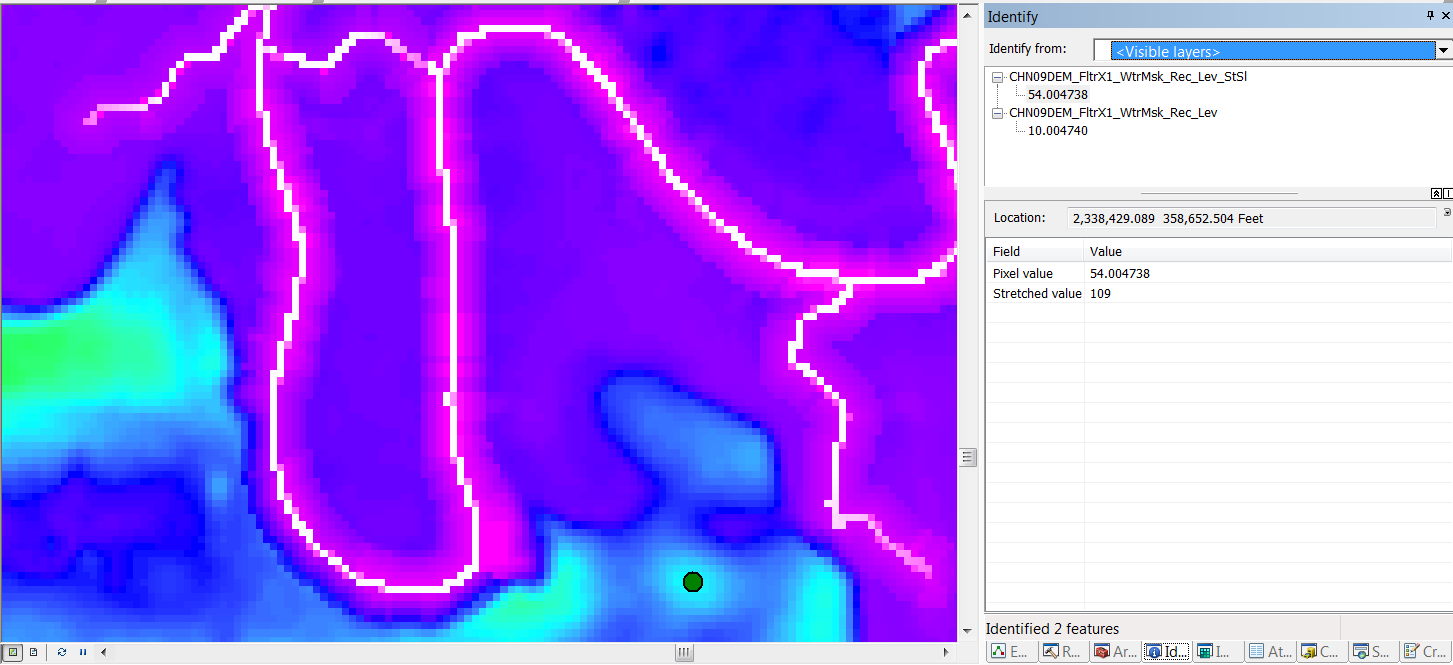
Note: I used the default values for Assign Stream Slopes (High number for starting elevation = 1000 and Elevation drop value = 10) as I would get error messages for out of range values if I changed these.
Thank you for your help clarifying this!
- Mark as New
- Bookmark
- Subscribe
- Mute
- Subscribe to RSS Feed
- Permalink
- Report Inappropriate Content
Hi Hannes,
The ArcHydro documentation mentions that Burn Stream Slope raises the DEM by the maximum drop value +10 to ensure positive values in the DEM. Perhaps You may also want to revisit the steps you took leading up to the AgreeDEM (DEM Reconditioning...), including the elevation. According to this documentation, the Start Elevation is 10,000 (pg. 20): http://downloads.esri.com/archydro/archydro/tutorial/doc/arc%20hydro%20tools%202.0%20-%20tutorial.pd...
- Mark as New
- Bookmark
- Subscribe
- Mute
- Subscribe to RSS Feed
- Permalink
- Report Inappropriate Content
The objective of this tool was to setup the DEM to obtain a correct flow direction - this is why it was ok to modify the original values. Note that this tool is now deprecated. You should now use instead the tool Create Drainage Line Structures. It will create a Flow Direction raster FdrStr which ensures that the direction in the stream is the ones associated to the digitized direction of the input lines. This raster is then merged with the standard Flow Direction. This way, once the water reaches the streams, it goes in the right direction.
Christine Dartiguenave
Esri Water Resources Team