- Home
- :
- All Communities
- :
- Developers
- :
- Native Maps SDKs
- :
- Runtime SDK for Android Questions
- :
- Re: How do I efficiently represent boundary maps o...
- Subscribe to RSS Feed
- Mark Topic as New
- Mark Topic as Read
- Float this Topic for Current User
- Bookmark
- Subscribe
- Mute
- Printer Friendly Page
How do I efficiently represent boundary maps offline?
- Mark as New
- Bookmark
- Subscribe
- Mute
- Subscribe to RSS Feed
- Permalink
- Report Inappropriate Content
What should be a simple problem has bogged me down for months.
I would like to show some BLM maps. Very simply, I'd like to show which side of the border belongs to which federal agency.
Here is an attempt using an mmpk exported from ArcGIS Pro.
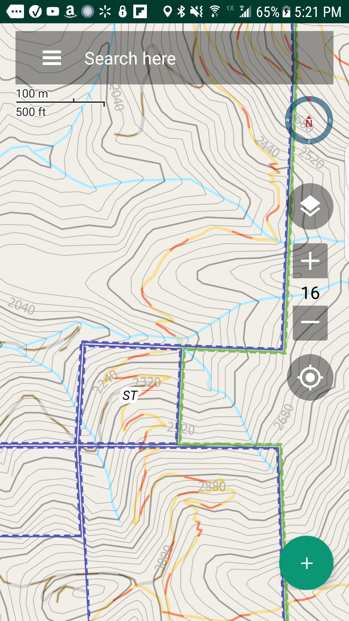
Pro: At least it did honor the offsets on the symbology. A solid line with an offset of -1 and a dotted line with an offset of -2 shows which is the inside of the polygon very clearly.
Con: Labels very sparse. With one per polygon at most, you are lucky to see one. Ideally I would like to see boundary placement of the labels, with a label on both sides of the line.
Con: It takes forever to display. Move the map and wait ten seconds.
Pro: You can click and see a popup with some attributes, and know the land ownership.
Con: You will be waiting 30 seconds for that popup to show up. Most people would have given up long ago. If i could show the labels with boundary placement, I wouldn't need it so much.
The national database is big, but breaking it up into state sized portions is not showing improvements.
Here is another attempt putting it into a vtpk:
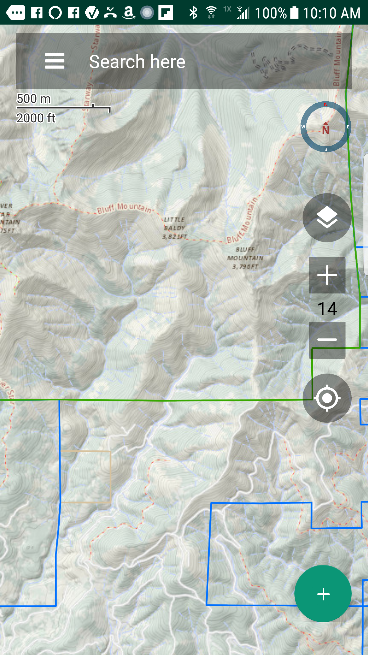
Pro: the size is small.
Pro: it displays very fast compared to the mmpk.
Con: Labels are just about nonexistent. I don't even know how to *try* to put them in boundary placement.
Con: As you see, the line offsets are ignored. Trying to insert them manually into the style file did no good.
Con: Because of that, you can see which side of the line is which, you can't see what is inside or outside the polygon. Not acceptable at all.
Con: You can't do a query and a popup. Although one that takes 30 seconds is of limited use.
Arcgis does not recognize this tag either on the web or in the runtime.
https://docs.mapbox.com/mapbox-gl-js/style-spec/#paint-line-line-offset
Do you have any advice for me?
It seems any way I try this, I run into a bug.
- Mark as New
- Bookmark
- Subscribe
- Mute
- Subscribe to RSS Feed
- Permalink
- Report Inappropriate Content
I don't have an answer to this, but I'm going to seek out someone who knows about authoring this kind of experience in ArcGIS Pro which once authored here, the experience should be reflected in your mobile map package.
- Mark as New
- Bookmark
- Subscribe
- Mute
- Subscribe to RSS Feed
- Permalink
- Report Inappropriate Content
I look forward to learning more.
I will need to file a case for it because there is at least one bug.