- Home
- :
- All Communities
- :
- Products
- :
- Mapping
- :
- Mapping Questions
- :
- Re: Go to XY tool in ArcMap 10.3
- Subscribe to RSS Feed
- Mark Topic as New
- Mark Topic as Read
- Float this Topic for Current User
- Bookmark
- Subscribe
- Mute
- Printer Friendly Page
Go to XY tool in ArcMap 10.3
- Mark as New
- Bookmark
- Subscribe
- Mute
- Subscribe to RSS Feed
- Permalink
- Report Inappropriate Content
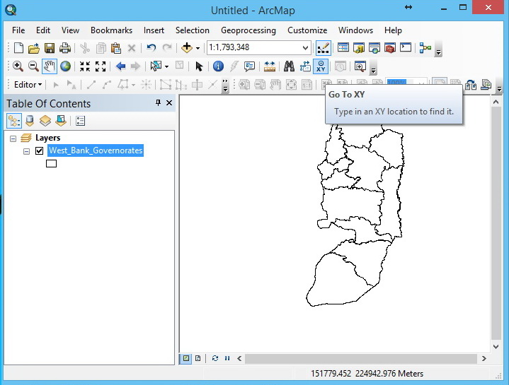
I could not figure out why the "Go to XY" tool does not work, I click on the tool icon, and no thing appears! It was working well with ArcMap 10.2.2 ,What might be the problem here?
Note: Product version is 10.3.0.4322
Thank you and Best Regards,
Hani
- Mark as New
- Bookmark
- Subscribe
- Mute
- Subscribe to RSS Feed
- Permalink
- Report Inappropriate Content
Hi, there. "Go to XY" tool on ArcMap 10.3, works with the 10.2.2 licence manager but not with 10.3 licence manager
- Mark as New
- Bookmark
- Subscribe
- Mute
- Subscribe to RSS Feed
- Permalink
- Report Inappropriate Content
I wish ESRI experts would comment on this!
Jamal Numan
Geomolg Geoportal for Spatial Information
Ramallah, West Bank, Palestine
- Mark as New
- Bookmark
- Subscribe
- Mute
- Subscribe to RSS Feed
- Permalink
- Report Inappropriate Content
Hi Hani,
Use the below code up to they are fixing the GOTOXY
COPY THE BELOW CODES TO A NOTEPAD AND SAVE AS GOTO.PY (WITH PYTHON EXTENSION)
import arcpy
xyCoordString = arcpy.GetParameterAsText(0)
xStr,yStr = xyCoordString.split(",")
xFloat = float(xStr)
yFloat = float(yStr)
mxd = arcpy.mapping.MapDocument("CURRENT")
df = arcpy.mapping.ListDataFrames(mxd)[0]
newExtent = df.extent
newExtent.XMin, newExtent.YMin = xFloat - 5, yFloat - 5
newExtent.XMax, newExtent.YMax = xFloat + 5, yFloat + 5
df.extent = newExtent
arcpy.RefreshActiveView()
Steps.
1 Open ArcCatalogue
2 Tool Boxes- Mytool Box- Right Clk- Add New Script
3 Chang the VALUES in Add Script Window Such as name & Label
4. Select the GOTO.PY
5 In the parameters tab under Display add "Enter X,Y" with "string" as a data type .
6 Finish
- Mark as New
- Bookmark
- Subscribe
- Mute
- Subscribe to RSS Feed
- Permalink
- Report Inappropriate Content
Thanks Jenson, it was very helpful.
- Mark as New
- Bookmark
- Subscribe
- Mute
- Subscribe to RSS Feed
- Permalink
- Report Inappropriate Content
Tried with this script but this is not working ..
request to give in detail ..
Thanks in Advance
- Mark as New
- Bookmark
- Subscribe
- Mute
- Subscribe to RSS Feed
- Permalink
- Report Inappropriate Content
Script is helpful to go to x,y If map unit in meters, but it is not possible to add point at given location. My tool is also not working, I deleted Normal.mxt, Repair Installation, I have two PC. Problem is same on both PC. With windows 10.
- Mark as New
- Bookmark
- Subscribe
- Mute
- Subscribe to RSS Feed
- Permalink
- Report Inappropriate Content
Sometimes the graphic defaults get set to transparent and it makes a marker that can't be seen. You can change the default graphic settings in the Drawing toolbar drop down under Default Symbol Properties. Other times I can't make it work and have no idea why, in which case I just make a junk shapefile to find coordinates as its faster. The tool isn't very functional.
- Mark as New
- Bookmark
- Subscribe
- Mute
- Subscribe to RSS Feed
- Permalink
- Report Inappropriate Content
Hi keith ..
Thanks for ur response, but i couldn't get the xy
Regards,
JAFER
Thanks & Regards,
*Mohammed JAFER | GIS Analyst | Department of Engineering | THTC
<https://goo.gl/maps/Xg5g7FRujft>*
Cell : 00966-532035140
- « Previous
-
- 1
- 2
- Next »
- « Previous
-
- 1
- 2
- Next »