Turn on suggestions
Auto-suggest helps you quickly narrow down your search results by suggesting possible matches as you type.
Cancel
- Home
- :
- All Communities
- :
- Industries
- :
- Transportation
- :
- Transportation Questions
- :
- Re: Data does not display on the map, but present ...
Options
- Subscribe to RSS Feed
- Mark Topic as New
- Mark Topic as Read
- Float this Topic for Current User
- Bookmark
- Subscribe
- Mute
- Printer Friendly Page
Data does not display on the map, but present in the attribute table
Subscribe
1140
11
07-08-2018 07:47 AM
07-08-2018
07:47 AM
- Mark as New
- Bookmark
- Subscribe
- Mute
- Subscribe to RSS Feed
- Permalink
- Report Inappropriate Content
I am facing issues with geocoding point features from an excel sheet that contains the X and Y coordinates. I am successfully able to create the event layer from the spreadsheet. However, whenever I am trying to save the event layer (that is temporarily created while geocoding the points) as a shapefile, it does not display on the map. However, the attribute table shows that the data has correctly been exported to the shapefile. If it is so, then why am I not able to see the points in shapefile on the map? Please help. Thanks!
11 Replies
07-08-2018
11:23 AM
- Mark as New
- Bookmark
- Subscribe
- Mute
- Subscribe to RSS Feed
- Permalink
- Report Inappropriate Content
Use Share instead of multiple posting.
Your original post https://community.esri.com/thread/217542-data-does-not-display-on-the-map-but-present-in-the-attribu...
07-08-2018
05:46 PM
- Mark as New
- Bookmark
- Subscribe
- Mute
- Subscribe to RSS Feed
- Permalink
- Report Inappropriate Content
found thanks
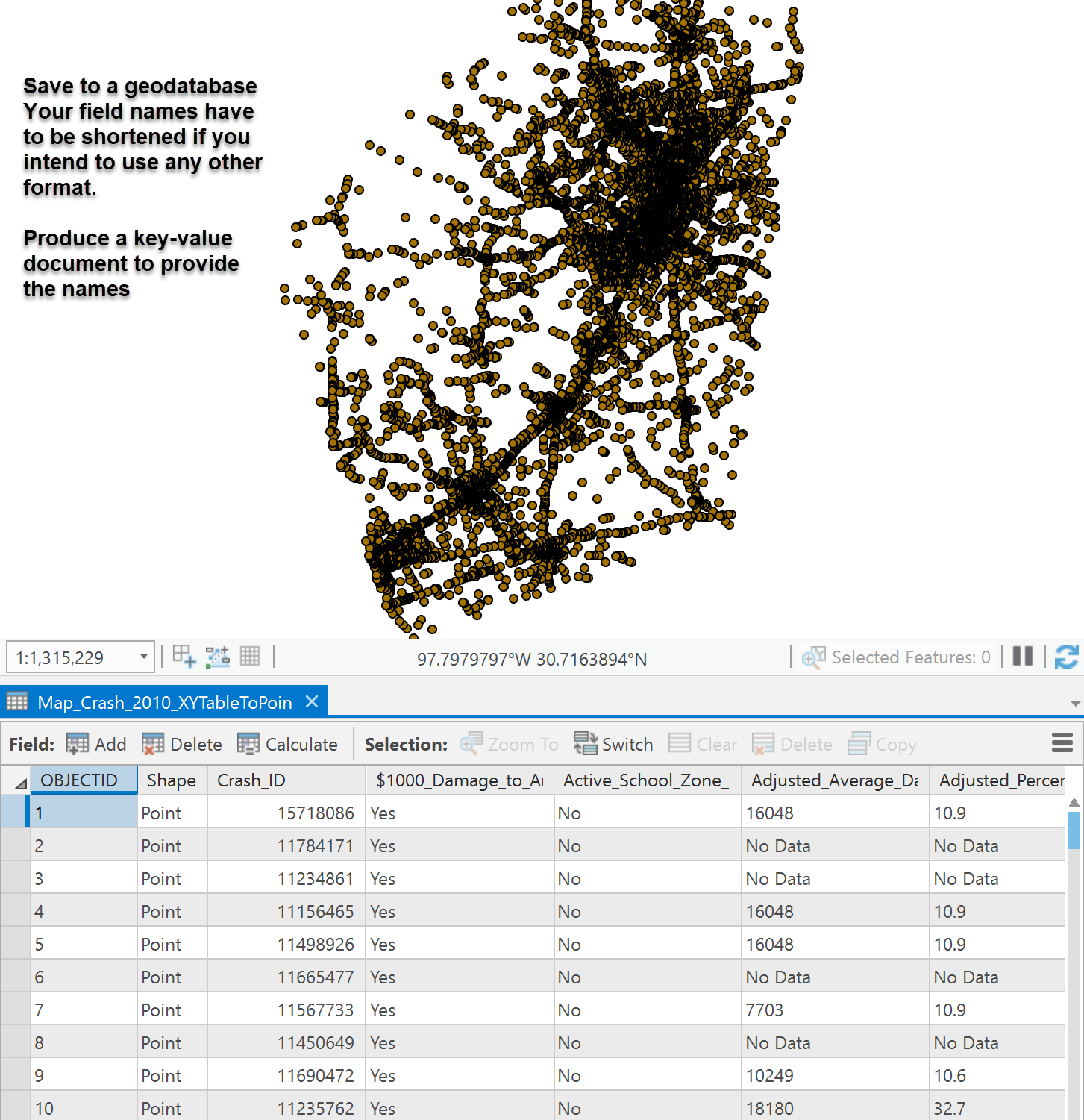
The data are fine... save to a file geodatabase since the field names won't allow for any other format (ie shapefiles).
I just use the XY to Point tool in arctoolbox, saved it to a geodatabase and you are done
- « Previous
-
- 1
- 2
- Next »
- « Previous
-
- 1
- 2
- Next »