- Home
- :
- All Communities
- :
- Products
- :
- Mapping
- :
- Map Projections Questions
- :
- Re: Is it possible to georeference a jpeg map with...
- Subscribe to RSS Feed
- Mark Topic as New
- Mark Topic as Read
- Float this Topic for Current User
- Bookmark
- Subscribe
- Mute
- Printer Friendly Page
Is it possible to georeference a jpeg map without control points?
- Mark as New
- Bookmark
- Subscribe
- Mute
- Subscribe to RSS Feed
- Permalink
- Report Inappropriate Content
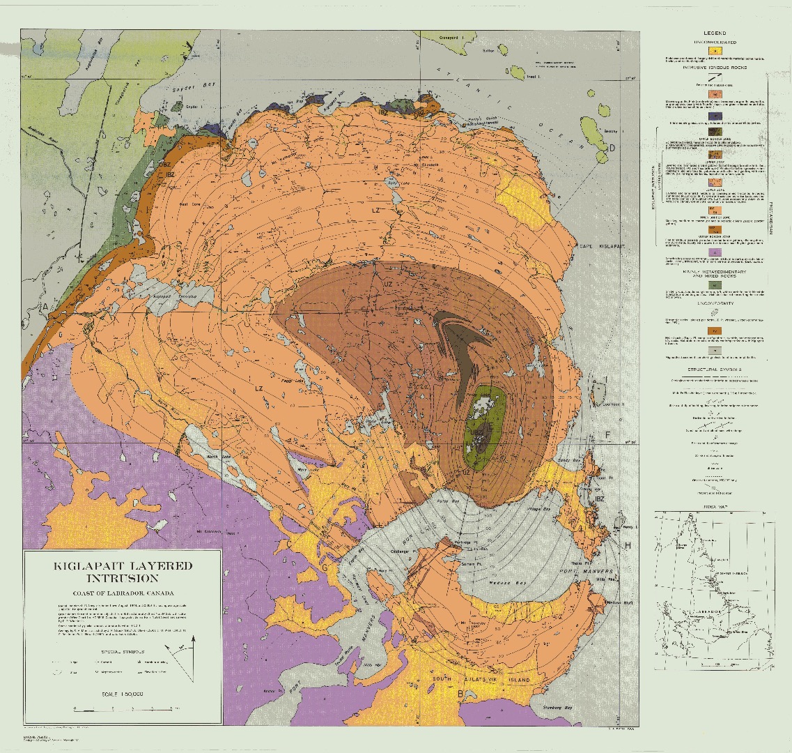
Can i just overlay it on a base map and make the fit as close as possible? (the scanned map I have has decimal degrees but its really old and doesnt seem to align to WGS 89 which is the coordinate system I want.
- Mark as New
- Bookmark
- Subscribe
- Mute
- Subscribe to RSS Feed
- Permalink
- Report Inappropriate Content
The difference in the projections and you are going to reference it to requires control points.
You can adjust to fit as best you can, but you will need to provide that real-world referencing in order to get a useful product.
- Mark as New
- Bookmark
- Subscribe
- Mute
- Subscribe to RSS Feed
- Permalink
- Report Inappropriate Content
It looks like there are graticule lines identifying latitude-longitude so you could use those. If they aren't labeled with latitude-longitude lines, are there any coordinates on them at all? Is there any projection, datum, or ellipsoid information anywhere?
Who's the publisher and when was it published? That can also help narrow down what coordinate system was used.
Melita