- Home
- :
- All Communities
- :
- Products
- :
- ArcGIS Spatial Analyst
- :
- ArcGIS Spatial Analyst Questions
- :
- Re: Spatial Analyst to assess multiple loops
- Subscribe to RSS Feed
- Mark Topic as New
- Mark Topic as Read
- Float this Topic for Current User
- Bookmark
- Subscribe
- Mute
- Printer Friendly Page
- Mark as New
- Bookmark
- Subscribe
- Mute
- Subscribe to RSS Feed
- Permalink
- Report Inappropriate Content
Hi! I am kind of new to ArcGIS and I would appreciate some help. I need to create a network of footpaths joining multiple destinations and carry a cost / benefit analysis based on; landuse, slope and proximity to tourist attractions in order to identify suitable loops. The scenario is new footpaths within a natural state reserve) The sketch attached is a simplification of the real problem and does not take into account the real number of points (about 25) and the potential loops they can create (which I believe should rise up to 25!). In the sketch attached the result of the analysis should highlight which loop is preferable; 1-2-4-1 or 2-3-4-2. I have thought on carrying a cost distance analysis for each par of points and then carry a OD cost matrix. Is there a better way todo this?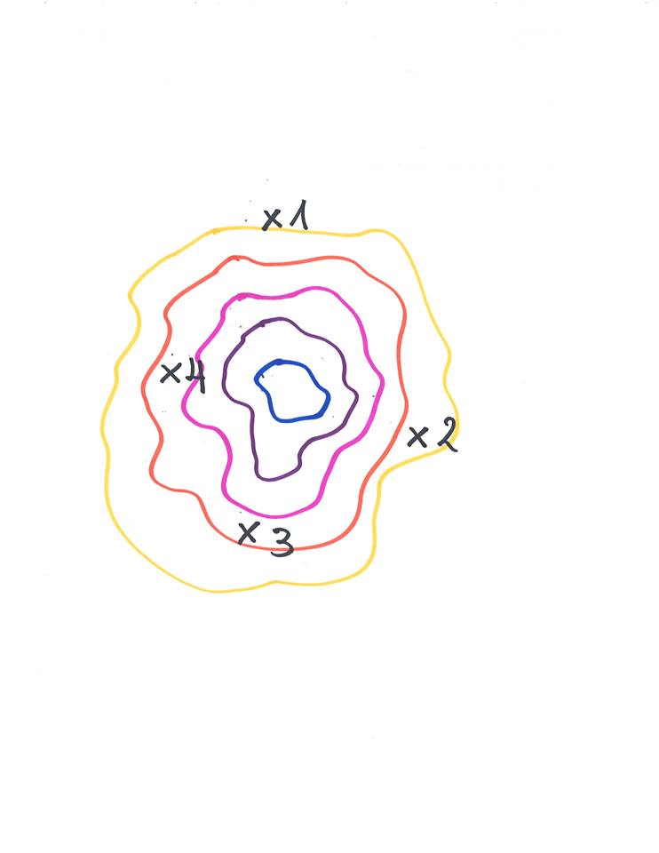
Solved! Go to Solution.
Accepted Solutions
- Mark as New
- Bookmark
- Subscribe
- Mute
- Subscribe to RSS Feed
- Permalink
- Report Inappropriate Content
- Mark as New
- Bookmark
- Subscribe
- Mute
- Subscribe to RSS Feed
- Permalink
- Report Inappropriate Content
duplicate of: Spatial Analyst to assess multiple loops