- Home
- :
- All Communities
- :
- Products
- :
- ArcGIS Pro
- :
- ArcGIS Pro Ideas
- :
- Include resolution to Create Fishnet
- Subscribe to RSS Feed
- Mark as New
- Mark as Read
- Bookmark
- Follow this Idea
- Printer Friendly Page
- Report Inappropriate Content
- Mark as New
- Bookmark
- Subscribe
- Mute
- Subscribe to RSS Feed
- Permalink
- Report Inappropriate Content
The Create Fishnet geoprocessing tool is great for producing grid feature classes. One thing I find that it lacks is a resolution parameter. With this parameter there will be intermediate vertices added to the polyline or polygon so that it doesn't look so blocky when a projected spatial reference is used for the map.
As an example I have created a 10 degree x 10 degree grid for North America and then changed the map spatial reference to North Polar Stereographic. Because the grid doesn't have any intermediate vertices the feature class appears blocky. Using a resolution of say 0.1 degrees would introduce vertices within each feature so as to make it smoother.
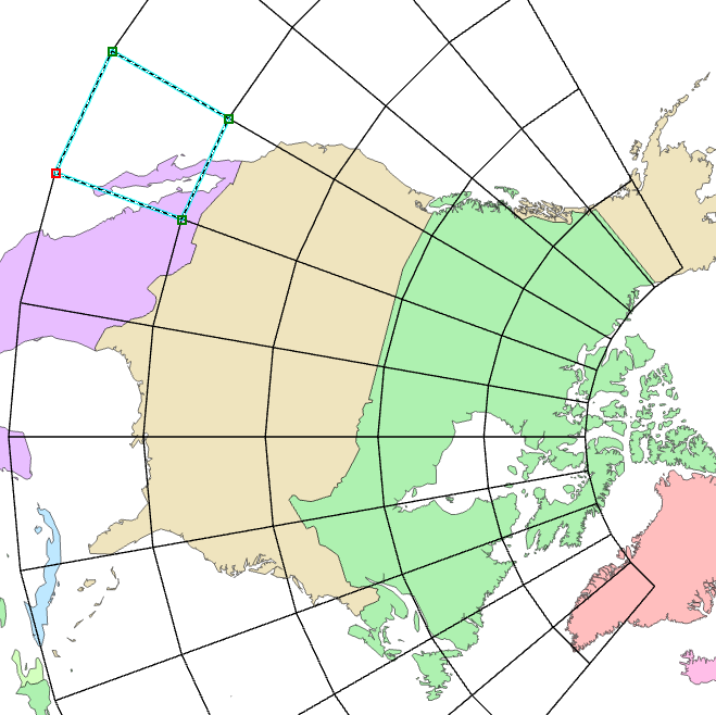
I think the logic to do this already exists in the Layout Grid function. If I go to my Layout and add a Grid and color it red you can see the difference.
- Mark as Read
- Mark as New
- Bookmark
- Permalink
- Report Inappropriate Content
It sort of is offered as a two step process
- produce the fishnet
- geodesic densify
then project
- Mark as Read
- Mark as New
- Bookmark
- Permalink
- Report Inappropriate Content
Just to confirm if I geodesic densify along a latitude or a longitude then the new vertices will lay on that latitude or longitude. ie if I have a polyline along the 80W longitude and I densify it geodesically then all new vertices will have an x=-80.
- Mark as Read
- Mark as New
- Bookmark
- Permalink
- Report Inappropriate Content
give it whirl, you have the polylines 
- Mark as Read
- Mark as New
- Bookmark
- Permalink
- Report Inappropriate Content
No go. That tool is not available with a Basic License.
- Mark as Read
- Mark as New
- Bookmark
- Permalink
- Report Inappropriate Content
hmmmm
https://www.arcgis.com/home/item.html?id=df4bf75fc2414792b69cacd4f9c65596
I will have to add it to my Free Tools extension then
/blogs/dan_patterson/2019/08/08/free-tools-polygons-to-lines-or-segments
- Mark as Read
- Mark as New
- Bookmark
- Permalink
- Report Inappropriate Content
Excellent. I think I will add that piece with ArcObjects since I have used a densify function within ArcMap with no issues.
- Mark as Read
- Mark as New
- Bookmark
- Permalink
- Report Inappropriate Content
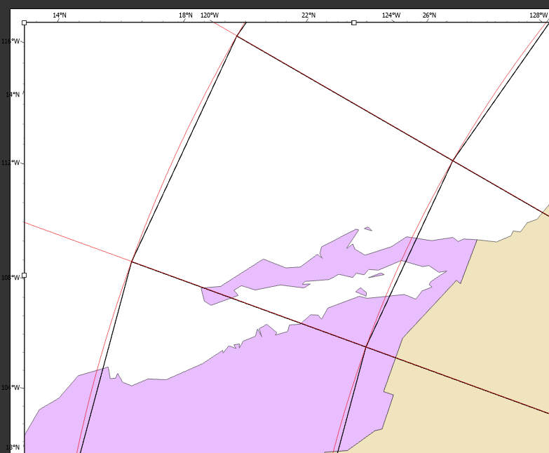
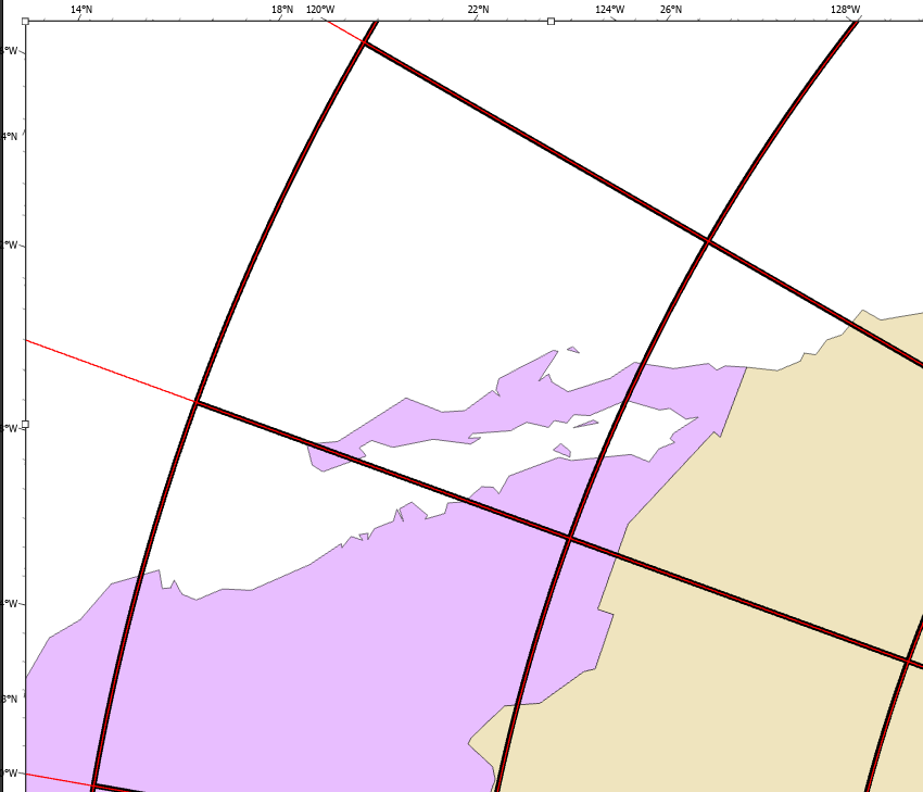
So I did as you suggested. Used the Fishnet geoprocessing. Then after that I ran a Densify on each geometry. Seems to do the job.
- Mark as Read
- Mark as New
- Bookmark
- Permalink
- Report Inappropriate Content
Here is the final product with Fishnet geoprocessing + ArcObjects Densify.
- Mark as Read
- Mark as New
- Bookmark
- Permalink
- Report Inappropriate Content
This is the only exchange where I saw this important piece of information, so thank you. I found the Geodetic Densify tool, but wasn’t sure if it was working, because the lines I’m dealing with are much shorter. But the theory matters in the long run I think. Here’s my story: downloaded public NASA DEM data for the nation of Nicaragua, had to create a mosaic to generate contours. Since the contour file is so big, had to consider tiling for rendering purposes. I wanted to tile the same as original data, could not find the index shapefile for original tiles anywhere. Figured out how to fishnet, using original DEM parameters, but measuring the interior angles showed 90deg exactly, so those are rectangles... in the WGS84 system. Not wrong mathematically, but a rectangle nonetheless. Soooo I want to Geodetic Densify those rectangles, with a max vertex equal to cell size of DEM, so that any future geoprocessing of surface data can be cut to those tiles, and will coincide with the original tiles (at least a reasonable facsimile thereof). Am I out to lunch here?
You must be a registered user to add a comment. If you've already registered, sign in. Otherwise, register and sign in.