- Home
- :
- All Communities
- :
- User Groups
- :
- Coordinate Reference Systems
- :
- Blog
- :
- Correctly Aligning Features in ArcMap
Correctly Aligning Features in ArcMap
- Subscribe to RSS Feed
- Mark as New
- Mark as Read
- Bookmark
- Subscribe
- Printer Friendly Page
- Report Inappropriate Content
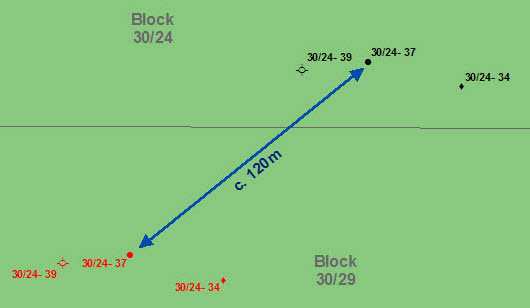
"It is vitally important to understand the difference between changing the coordinate reference system (CRS) property of a geographic dataset and converting the feature coordinates of a geographic dataset to a different CRS. Confusing them can lead to incorrectly located data and potentially some gross errors in the position of the features in your geographic data."
Follow these links to some useful blog articles on how to manage CRS in ArcGIS courtesy of @exprodat
Tip 12: Coordinates and ArcGIS - Blogs -
Correctly Aligning Features in ArcMap: 1 - Blogs -
Correctly Aligning Features in ArcMap: 2 - Blogs -
Correctly Aligning Features in ArcMap: 3 - Blogs -

You must be a registered user to add a comment. If you've already registered, sign in. Otherwise, register and sign in.