- Home
- :
- All Communities
- :
- User Groups
- :
- Conservation GIS
- :
- Documents
- :
- Nguyen Hoai Bao, Vietnam
- Subscribe to RSS Feed
- Mark as New
- Mark as Read
- Bookmark
- Subscribe
- Printer Friendly Page
- Report Inappropriate Content
Nguyen Hoai Bao, Vietnam
Nguyen Hoai Bao, Vietnam
Nguyen Hoai Bao, Department of Ecology, University of Natural Sciences, Vietnam
Organization Web site: http://www.hcmus.edu.vn/en/index.php Email
x2012Scholar x2012Talk xScholar xTalk xWildlife xVietnam xAsia xTracking xMonitoring xForest xSpecies xBird xHabitat xEducation xWetlands xEcotourism
Bao is now the top bird guide in Vietnam, featured on many birding & ecotourism sites:
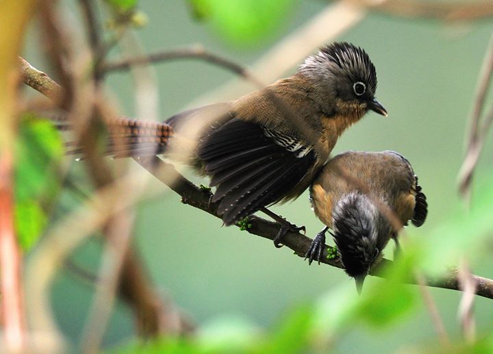
Eagle-Eye Birding had a nice current profile: "Nguyen Hoai Bao teaches ornithology at Vietnam National University in Ho Chi Minh city. Bao is also a core instructor of the Wetland University Network in the Mekong Region. He has taught wetland bird ecology at many training courses in Malaysia, Myanmar, Thailand and Vietnam. Bao has more than 15 years experience working in wildlife conservation and has collaborated as a Vietnamese bird expert with Birdlife International, WWF, WCS, IUCN and International Crane Foundation to study bird ecology and status within Southeast Asia. Bao’s interest in birds began when he was a little boy and has been a professional birder since 1998. He has travelled for birding around the World including the United States, Europe, Australia and most countries in Southeast Asia. He has spent many years birding and leading tours and has now developed the birdwatching app ‘Vietnam Bird Guide’. (Photo right, Bao at work, courtesy of Vietnam Wildlife Tours. Photo Left: Example of Bao's superlative bird photography)

2015 Organizer: Rufford Small Grants Program 2015 Vietnam Conference
Conference Report (Vietnam January 30 – February 1, 2015) Reported by Nguyen Hoai Bao & Tran Thi Anh Dao
The Rufford Small Grant Recipients Conference has been held during 31st January & 1st February 2015, at the University of Science, Vietnam National University - Ho Chi Minh City. It was organized by the Rufford Foundation, the University of Science in collaboration with Vietnam Wildlife Tours & Research.
2012 SCGIS Scholar Profile: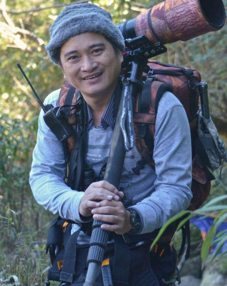
I am currently working for my PhD thesis: “Sarus Crane, ecology and availability population study in Indochina” which I have to use many GIS techniques such as use ArcGIS to do wetlands and habitats mapping, analyze satellite and aerial images to predict breeding and non-breeding habitats however my experience is low level. This is my great opportunity to learn from many GIS experts around the World. Afterward, I can help my students to do their research on biodiversity and conservation. Although GIS is playing a very important role in my career, I couldn’t find any training course to join in my country, in Vietnam, where GIS field is still under developed, therefore, this course will help me a great deal which I can use to support wildlife conservation in Vietnam.
HISTORY: As a researcher, I have worked for many conservation projects since 2003 which can be listed as below:
Surveyed vertebrates biodiversity in Tan Phu forest state (a tropical forest locates in Dong Nai province, Vietnam) 2003-2005. A project collaborated between my university and Lyon University, France. In this research, I have worked for section: Avifauna, distribution and status of Orange-necked Partridge, an endangered species. Which this, I have made distribution maps for Pheasanidae species.
In 2004-2006, I studied wetlands and potential breeding habitats of Sarus Crane, a global threatened species in Yok Don national park, Dak Lak province, Vietnam. This was my master papers funded by International Crane Foundation (ICF).
A project was running by Wildlife Conservation Society in 2005-2007 is to study and monitor disease and influenza on wildlife in Mekong delta, Vietnam which I worked as coordinator.
Please describe how you work in your local conservation and GIS community: I am currently working as a lecturer and researcher in Ecology and Biology 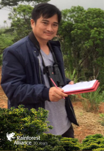 Evolutionary department, Biology faculty, University of Science. In my researches, I have been developing ecotourism in Vietnam which focus on birding for national parks and protected areas. To help local communities in developing and guiding, I have made birding routes and birds’ location maps for local guides and tourists to use. In other researches, my colleagues and I have worked with local authorities, protected areas in management and protecting plans through our studies and surveys. We provided our results of biodiversity survey for recommendation in conservation planning. (Photo, Bao on fieldwork, courtesy of the Rainforest Alliance)
Please describe how your work involves cooperation with any international groups: I am a member of University Network for Wetlands Research and Training in Mekong Basin. I have been as both trainee and instructor. The Network is focused on wetlands studying and training which has 19 university members in lower Mekong basin including Vietnam, Lao, Cambodia, Thailand, Myanmar, China and Malaysia. The Network also collaborates with International Crane Foundation (ICF), and United States Geological Survey in doing many projects. Of which, the study Persistent organic pollutants (POPs) in Mekong basin is running in 2010-2012. I am a member who involved in database and mapping for this collaboration.
Please describe what is the most unique and the most challenging about the conservation/GIS work that you do: My work in studying Sarus Crane’s habitats, this is aiming to answer the questions: Is habitat in dry season areas becoming limiting? And Is habitat on wet season areas becoming limiting? If I am able to find the answers, the conservation planning for this species will be clear. However, it is a big challenging for me on my way to do wetlands (habitats) mapping, I have to use many different resources from observation data, reported data, and aerial data. To use aerial data efficiently, it is needed a good skill in using GIS software but I don’t have professional experience. The crane habitat covers a large area with poor accessibility, so without GIS skill and technology, the project would not be possible.
2012 Scholar Conference Presentation:
TITLE: “Study breeding habitat of Sarus Crane (Grus antigone sharpii) in Yok Don national park, Dak Lak province, Vietnam”
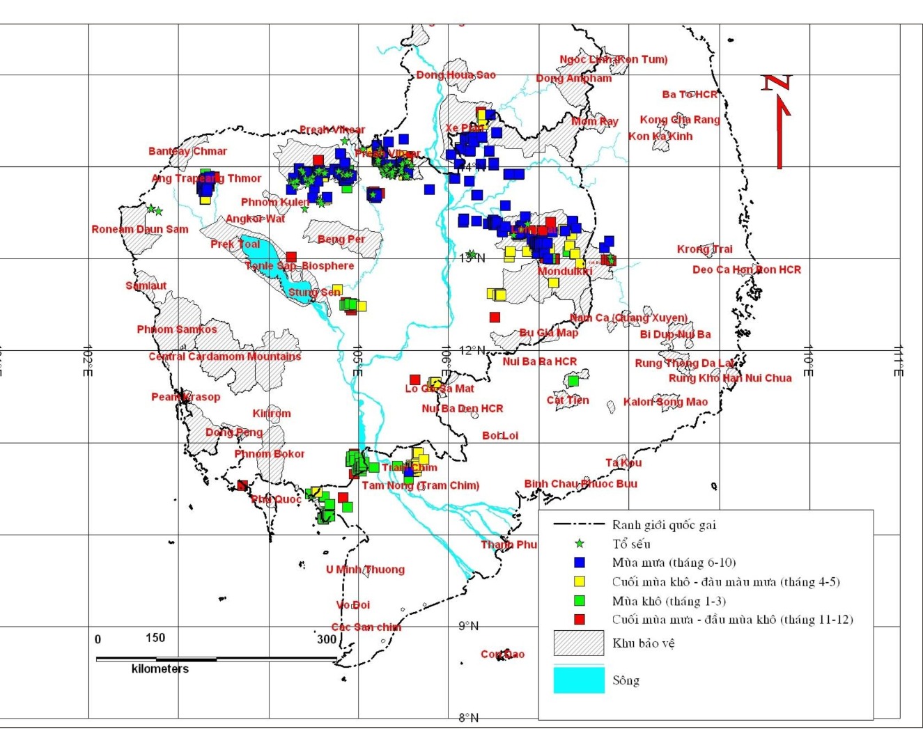
Eastern Sarus Crane (Grus antigone sharpii) is one of three subspecies of globally threatened cranes and is the tallest bird that flies. Population estimates for this subspecies is 1000 birds (Archibald et al. 2003) and is declining due to feeding and breeding habitats lost. The biology and breeding habitats of the Eastern Sarus have not been studied in detail. Recent records indicate the Eastern Sarus nested at small wetlands in dipterocarp forest (Barzen 2003). Yok Don National Park is the only protected area in Vietnam with an ecology system of dry dipterocarp forest accounting for a large area of the park. Many small wetlands in the park were believed appropriate for nesting of the Eastern Sarus. These wetlands can be found on RASTER images 15x15 by using Envi 4.0 to produce different band compounds. After determining wetlands location, the field surveys were conducted for further detailed studies including shape, hydrology, water quality and biodiversity. Total of 127 lakes were recorded and determined, including 19 permanent lakes and 108 temporary lakes, of which, evidence of nesting of Eastern Sarus was found at 2 lakes. Additional research in more detail was undertaken to describe the breeding habitats of the Eastern Sarus. (Map: Sarus Crane Habitat. Photo Bao at the 2012 SCGIS Conference, Photo courtesy of 2012 Scgis Scholar Nico Lois)
-
 Anonymous User