- Home
- :
- All Communities
- :
- User Groups
- :
- Conservation GIS
- :
- Documents
- :
- Leslie Backus, World
- Subscribe to RSS Feed
- Mark as New
- Mark as Read
- Bookmark
- Subscribe
- Printer Friendly Page
- Report Inappropriate Content
Leslie Backus, World
Leslie Backus, World
Leslie Backus #80-02 USA, Bhutan, Nepal, India, Indonesia, Mexico, Sri Lanka, Kenya, Venezuela, 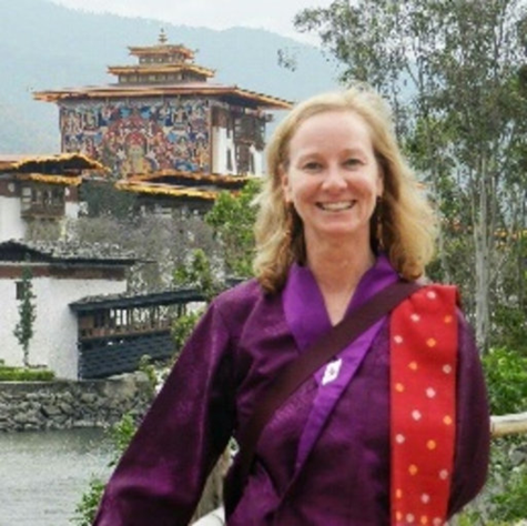
xWildlife xEndangered xEducation xTTT xScgisBoard xTracking xDistribution x1997Talk x1997ScgisBoard x1998ScgisBoard x1999ScgisBoard x2000ScgisBoard x2000Talk x2000ScgisCommittee xMembership2000 x2005 xInternational2005 xInternational2006 x2006 x2007TrainingKenya x2008TTTTrainer xTTT2008 x2009TTTTrainer x2010TTTTrainer x2011TTTTrainer x2012TTTTrainer x2013TTTTrainer x2014TTTTrainer x2015TTTTrainer x2016TTTTrainer x2017TTTTrainer x2018TTTTrainer x2019TTTTrainer x2020TTTTrainer xCommitteeInternational 1997-2020
Leslie currently serves in SCGIS as a Co-Director of the SCGIS TTT Program
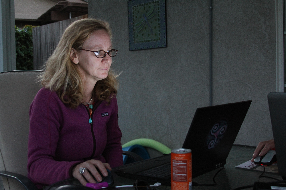
(  VIDEO: Leslie introduces herself and her wildlife biology work and her collaborations with John Schaeffer, as it pertains to her expertise and role in the Scgis Scholars Training Program. From the 2016 Scholar Training at the University of California Blue Oaks Research Reserve. c. convis)
2020 Status
Leslie Backus will be the leader and chief trainer of the 2020 Scgis International Scholarship Training Program.
Leslie Backus is also part of a new TTT curriculum development effort based on the capabilities of the newly-released ArcGIS Conservation Solutions.
2019 Status
Leslie Backus, Professor, Royal Thimphu College, Bhutan
Leslie Backus currently works in the Environmental Management Department, Royal Thimphu College. Leslie does research in Geoinformatics (GIS) and Wildlife Biology
Links: https://www.facebook.com/leslie.backus.9
https://www.researchgate.net/profile/Leslie_Backus

2019 Society for Conservation GIS Conf Paper Abstract
“Stories of Place and Time – Preserving the Tales Drukyul"
Researchers: Leslie Backus and Aakanksha Singh
(Video RT: Dr. Karen Beardsley presents Leslies Storymap on her behalf at the 2019 Conference. by Team Mapitas)
“Story maps arrange a user’s stories into a useful structure that graphically gives spatial representation to photographic, illustrative and narrative text. We used story maps to connect the idea of place with the importance of tradition, culture and history by using folklore and geography in a combined interactive web-based platform to engage Bhutanese students, local community members and foreigners who want to learn about Bhutan. Individuals learn in a variety of ways, some being visual learners, others learn through reading comprehension. Story maps cater to a variety of learning paradigms by engaging individuals with video clips, photographs, interactive maps, web links, pop-up windows and narrative text. We created story maps from the mouths of Bhutanese storytellers, so they exist in the intersection of science/technology and the ancient practice of oral history and folklore mythology. The creation of these story maps not only produced a model for preserving Bhutan’s traditional stories, but it also offers school’s an educational tool for learning Bhutanese history and folklore, while offering an interactive platform for community members to add their own stories. Due to the rich traditions outlined and segregated by regional barriers, Bhutan is a place of many stories connected to local deities and ethnic backgrounds. This project is an attempt to preserve and share these valuable, oral tales, as well as educate young Bhutanese, connect generations and bring modern technology to an ancient practice. “
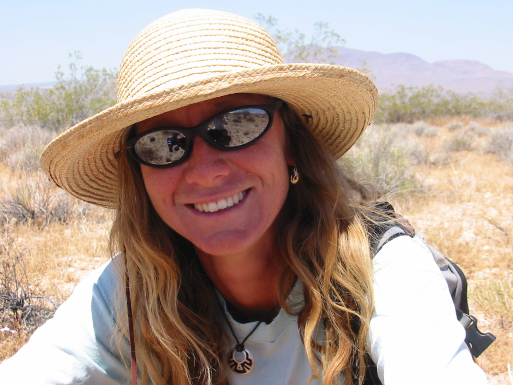
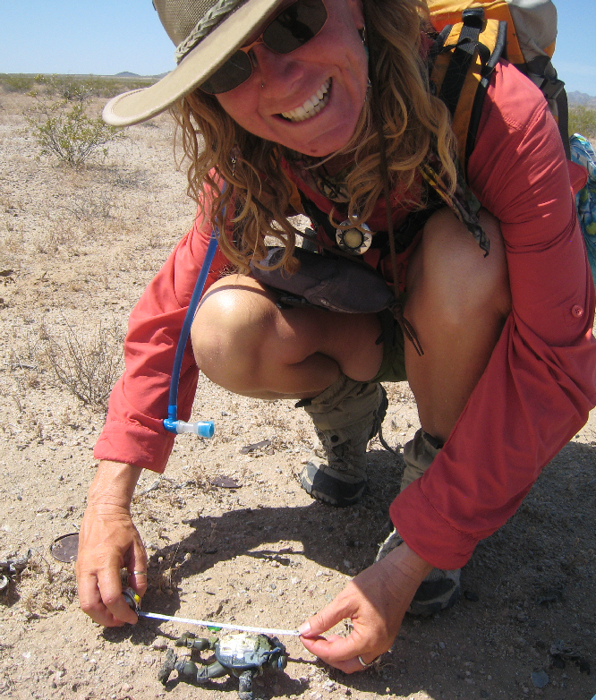
(Photo Below: Radiotagging endangered Desert Tortoise, 1999. L. Backus)
LESLIE BACKUS CHRONOLOGY INDEX
1997 University of Central Florida BS Biology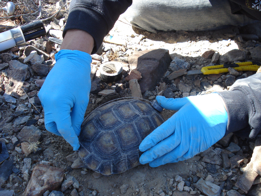
1997 Leslie Backus, Archbold Biological Station FL
1997-2000 FOUNDING MEMBER OF THE SCGIS BOARD OF DIRECTORS
1997: Paper Presentation at the First International Conference of SCGIS
1999 Paper Interspecific Interactions with Foraging Red -cockaded Woodpeckers in South-Central Florida
1999 Wildlife Biologist: Desert Tortoise Care and Protection
2000 Paper “Avian Monitoring and Risk Assessment at Tehachapi Pass and San Gorgonio Pass..”
2000 SCGIS Membership Comm Chair (2000-2001): Leslie Backus [Lanius@rocketmail.com]
2000-(present) Founding member with Charles Convis & Roberta Pickert of the SCGIS Advisory Council.
2001 Wildlife Biologist/Data Analyst -Eremico-China Lake Naval Weapons Station
2003-2004 SE Asia Research Analyst /GIS Trainer
2004 University of Central Florida, MS Biology
2002-2015 Wildlife Biologist/Data Analyst –Desert Tortoise Line Distance Sampling
2005 Co-Chair of the SCGIS International & Scholarship Committee
2006 Co-Chair of the SCGIS International & Scholarship Committee
2007 Project. Research/Data Analyst -Flat-tailed Horned Lizard Monitoring Program
2007 Kenya Assistant Trainer in 2-day Conservation GIS course
2008 Project Data Analyst -Cuare, Venezuela Wildlife Management Plan
2008- SCGIS SCHOLAR TRAINER: at the University of California James Reserve
2008 Leslie first suggests an SCGIS “Reverse Scholarship” Program
2008 Spatial Analyst -Project Global -Duke University
2009 Jun – Assist with training SCGIS Scholars
2010 Jun Assist with training SCGIS Scholars
2011 Jul Assist with 2011 Scgis scholar Training at UC Davis
2012 Jun-July Assist SCGIS Scholar & TTT Training, Davis, CA
2012 Named to board of new "Train the Trainer" Global Training Program
2013 Jun-Jul UC Davis TTT & SCGIS Scholar Training
2013 Paper at the Western Section of the Wildlife Society Annual Conference
2014 KENYA Research Analyst /Technical Lead /GIS Trainer
2014 Jun 17-Jul 5. Assistant instructor for UC Davis TTT & SCGIS Scholar Training
2015 Jun-Jul. Assistant instructor for UC Davis TTT & SCGIS Scholar Training
2016 Jun-Jul. Assistant instructor for UC Davis TTT & SCGIS Scholar Training
2016 Teamed with Karen Beardsley to create the SCGIS Mentorship Program
2017 Jun-Jul. Assistant instructor for UC Davis TTT & SCGIS Scholar Training
2018 Jun-Jul. Assistant instructor for UC Davis TTT & SCGIS Scholar Training
LESLIE BACKUS DETAILED CHRONOLOGY:
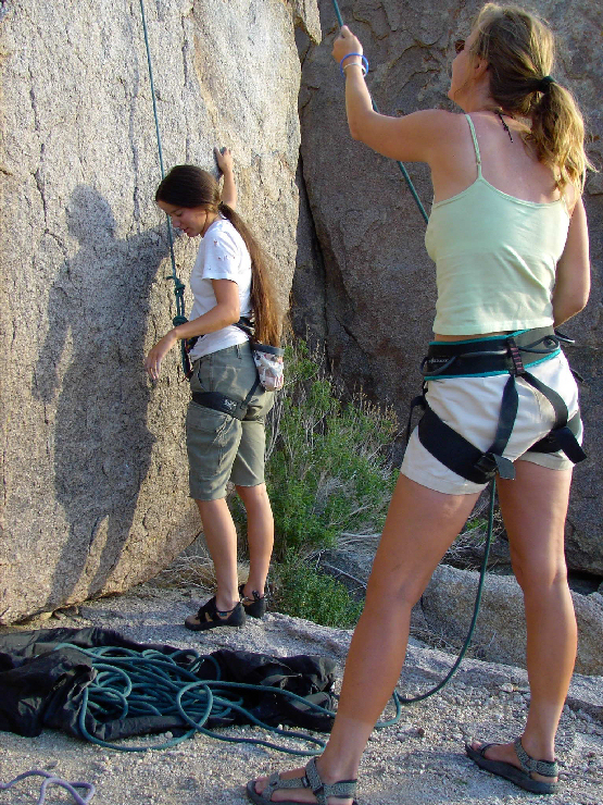
1997 University of Central Florida BS Biology Thesis Topic: The development of a spatially explicit mathematical model, based on home range and other variable responses of Gopher Tortoises in Central Florida to habitat manipulation by prescribed burning. (Photo, Leslie at the first SCGIS Conference in 1997, UC James Reserve CA. c.convis)
1997: Leslie Backus, Archbold Biological Station FL
1997-2000 FOUNDING MEMBER OF THE SCGIS BOARD OF DIRECTORS
1997: Paper Presentation at the First International Conference of SCGIS http://www.conservationgis.org/scgis/scgis97proc.html
1997: A method of evaluating the relative isolation of red-cockaded woodpecker clusters.(1997 SCGIS paper, Leslie K. Backus*, Reed Bowman, D. L. Leonard and Allison Mains, Archbold Biological Station, Lake Placid, Florida 33852. ) “Red-cockaded woodpeckers (RCWs) are cooperative breeders dependent on energetically costly cavities excavated in living pine species. Expansion of RCWs into suitable habitat without cavities is a rare event….Using data from the Avon Park Air Force Range RCW population, in south-central Florida, we built a model to rank the relative isolation of "focal" clusters. Using recorded female dispersal distances we generated a dispersal buffer around each focal cluster. We then calculated the number of and the distance from each occupied cluster, falling within the buffer, to each focal cluster. We also ranked the pine corridor between the focal cluster and each occupied cluster as direct, indirect, circuitous or open and incorporated this data into our model. Results suggest, that on average, focal clusters with the lowest isolation coefficient (greatest probability of emigration) have more occupied clusters within the dispersal radii. However, the corridor rank between focal and occupied clusters did influence the isolation coefficient. To ensure the timely re-occupation of unoccupied clusters managers need to rank clusters according to their isolation and concentrate management on those having the greatest probability of successful emigration.
1999 Founding member of the SCGIS “Outreach and Training” committee, now called SCGIS International (Photo: Leslie (center), 1999 SCGIS President Gillian Bowser (left) and Roberta Pickert-co-creator of the SCGIS International Program (right), share in early SCGIS Conference Organizing Duties. c.convis)
https://www.jstor.org/stable/4164098?seq=1#page_scan_tab_contents
1999 Paper Interspecific Interactions with Foraging Red -cockaded Woodpeckers in South-Central Florida
“Interspecific competition for Red-cockaded Woodpecker (Picoides borealis) cavities has been well documented and may be one factor contributing to the species' decline.”
1999 Wildlife Biologist: Desert Tortoise Care and Protection at the Ivanpah Solar Project
Desert tortoise habitat is divided into six large areas, called “recovery units,” spanning tens of millions of acres across Arizona, California, Nevada and Utah. The Ivanpah site is within the approximately nine million-acre Northeastern Mojave recovery unit, comprising approximately four hundredths of one percent (0.04%) of the unit’s total acreage. In the Ivanpah Valley alone, over 630,000 acres have been designated as Critical Habitat for desert tortoise. The Ivanpah site is not located within any defined Critical Habitat, and has been designated by the BLM as “Category 3” habitat – the “least important” category of habitat for the desert tortoise. In total, over 6.4 million acres have been identified as critical habitat for the tortoise across the six recovery units, including 4.75 million acres in California.
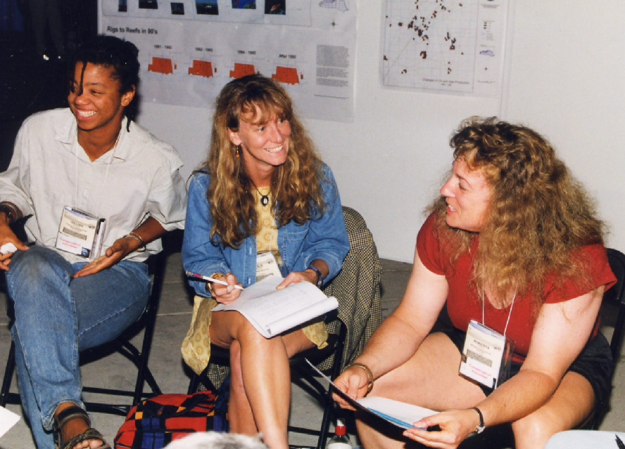
(Photo above: Leslie (right) shares a laugh with year 2000 SCGIS International Scholar, Galit Breman. c.convis)
2000 Paper “Avian Monitoring and Risk Assessment at Tehachapi Pass and San Gorgonio Pass Wind Resource Areas, Ca...
2000 SCGIS Membership Comm Chair (2000-2001): Leslie Backus [Lanius@rocketmail.com]
2000-(present) Founding member with Charles Convis & Roberta Pickert of the SCGIS Advisory Council.
(Photo above: Leslie (Right) listens to map presentation by 2001 International Scholar Liliana Riveros from Colombia. c.convis)
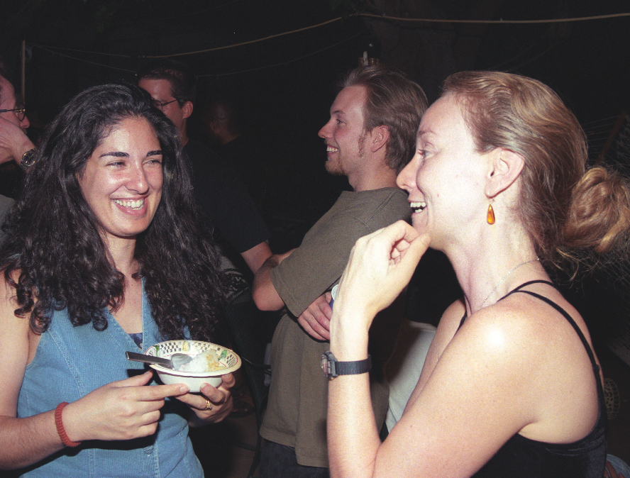
(Photo below: Leslie with 2001 International Scholar Lizz Wandag from Philippines. c.convis)
2001 Wildlife Biologist/Data Analyst -Eremico-China Lake Naval Weapons Station.
Created an interactive database which completely encompasses all surveys, regardless of survey type, performed within a given geographic area. The database makes it possible to locate all data, sightings of desert tortoise and other rare/endangered species, encountered within this given area. This allows for multiple types of analysis to be performed utilizing surveys that may have been conducted by different agencies or organizations, as well as creating a historical record of the various species of concern, therefore making data available to do time related analysis. This approach allows for various spatial and temporal scaling of analyses while still maintaining the components of the original analysis scope. The overall objective was to create an interactive mapping system with real time updating capabilities to help resource managers make suitable management decisions. Scope included educating Federal employees on data collection, methodologies and database operation.
 2003-2004 SE Asia Research Analyst /GIS Trainer –Multiple Non-Profits –Sri Lanka.Project advisor and GIS trainer at major universities in Sri Lanka as well as for Society for Wildlife Conservation of Sri Lanka. Conducted multiple GIS/conservation training sessions for both university students and conservation/engineer professionals. The main intent was to teach techniques designed to effectively deal with human/elephant conflicts caused by government directives to increase agricultural development in rural areas. The ultimate goal was to create and facilitate conservation management techniques aligned with both benefiting local communities, by decreasing conflict incidences, and managing national species and other natural resources.
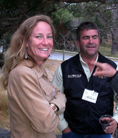
(Photo left: Leslie with Drew Stephens at 2003 SCGIS Conference. photo by Colin Brooks)
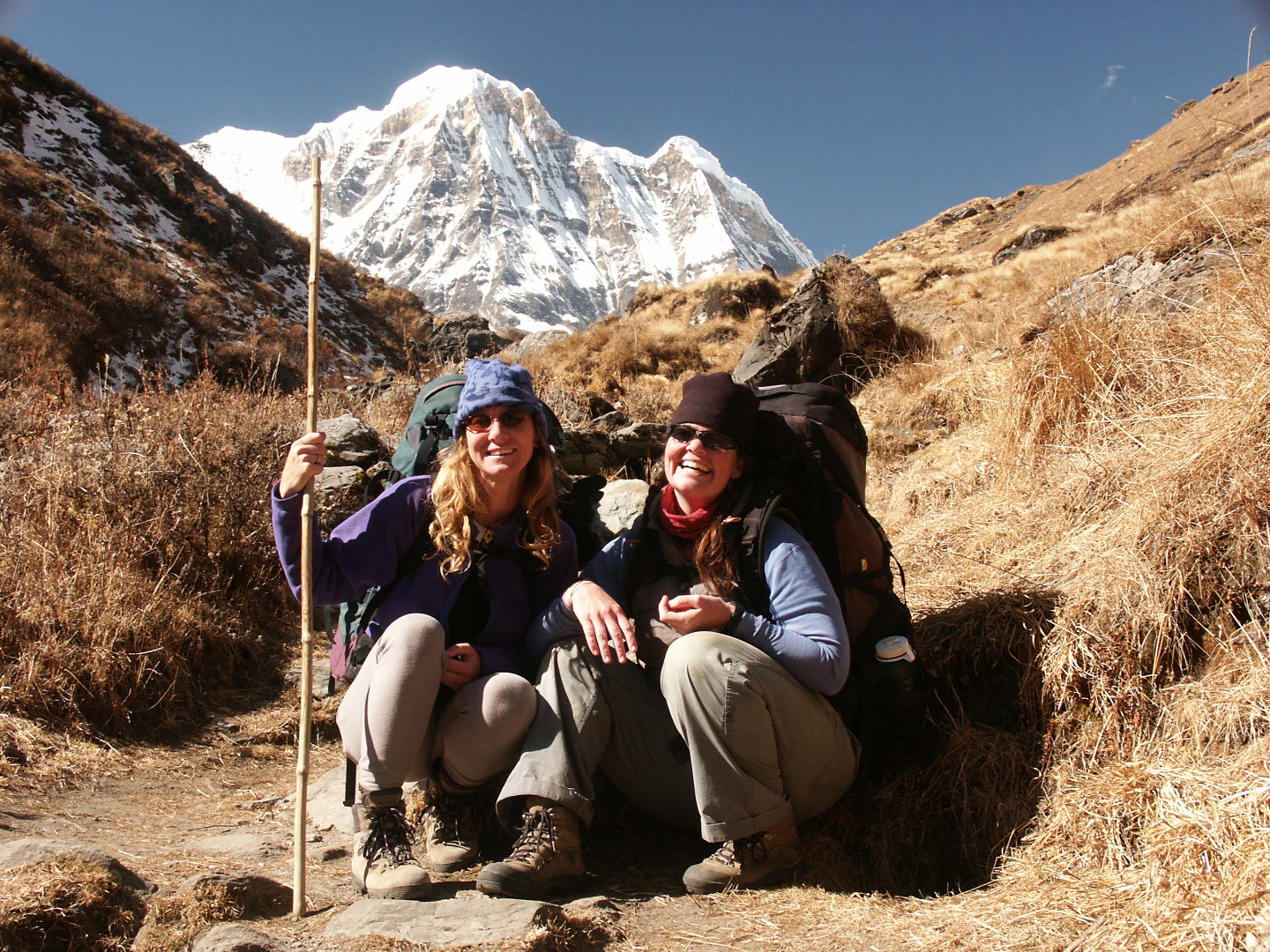
(Photo Below: Leslie at Annapurna Base Camp, Nepal in 2003. photo by L. Backus)
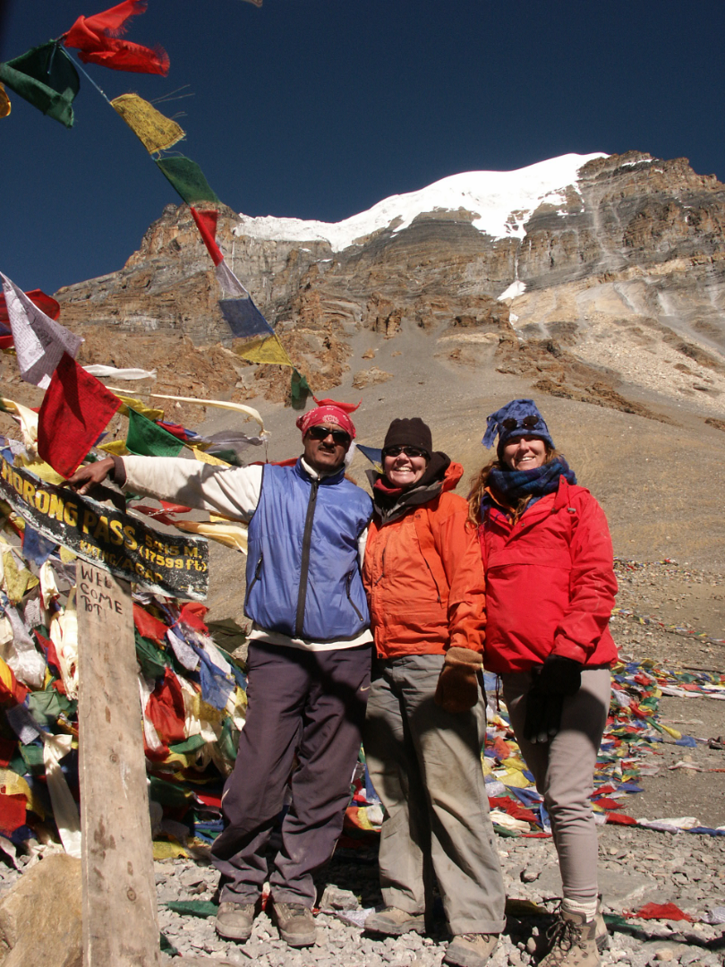
(Photo Above Leslie at Thorong La Pass, Nepal, 2003. L. Backus)
2004 University of Central Florida, MS Biology
THESIS: “Development of a spatially explicit mathematical model, based on home range and other variable responses of Gopher Tortoises in Central Florida to habitat manipulation by prescribed burning.”
(Photo Below Leslie working on the Gopher Tortoise Line Distance Sampling Project, Mojave Desert, 2003. L. Backus)
2002-2015 Wildlife Biologist/Data Analyst –Desert Tortoise Line Distance Sampling -Kiva Biological-US Fish and Wildlife Service
Calculated sensitive species densities based on line distance sampling techniques in a geographically comprehensive project covering four states (California, Arizona, Utah, Nevada). The initial study area surveyed by our crew in California covered 800,000 acres. Fitted sensitive species with radio transmitters, compiled morphometric measurements, performed full health assessments and gathered blood samples for each individual. Line distance models were run regularly to analyze field technician performance.
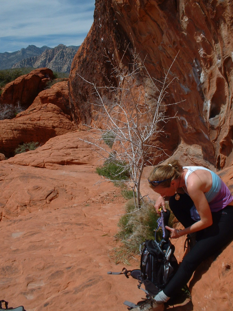
(Photo Above Leslie on Field work, Joshua Tree National Park, 2005. L. Backus)
(Photo Below: Gopher Tortoise Line Distance Sampling Project, Red Rock Canyon, 2005. L. Backus)
2005 Co-Chair of the SCGIS International & Scholarship Committee
2006 Co-Chair of the SCGIS International & Scholarship Committee

Photo above: Middle fork Salmon River, Trinity Alps, California 2006. L. Backus)
Photo Below Beaded Lizard Project, Mexico 2007. L. Backus)

2007 Project. Research/Data Analyst -Flat-tailed Horned Lizard Monitoring Program–Arizona Game and Fish –California, Arizona and Mexico. The Flat-tailed Horned Lizard (Phrynosomamcallii; FTHL) Interagency Coordinating Committee (FTHL ICC) and Management Oversight Group (FTHL MOG) are comprised of representatives from multiple state and federal agencies. The need has been recognized for a standardized monitoring program across the range of this species. This project consists of occupancy estimation plots to detect large-scale changes and demographic plots (Robust Pradelmodel) to follow population dynamics in particular areas.
2007 Kenya Assistant Trainer in 2-day Conservation GIS course & technical presentations at the SCGIS Kenya Conference (led by John Schaeffer)
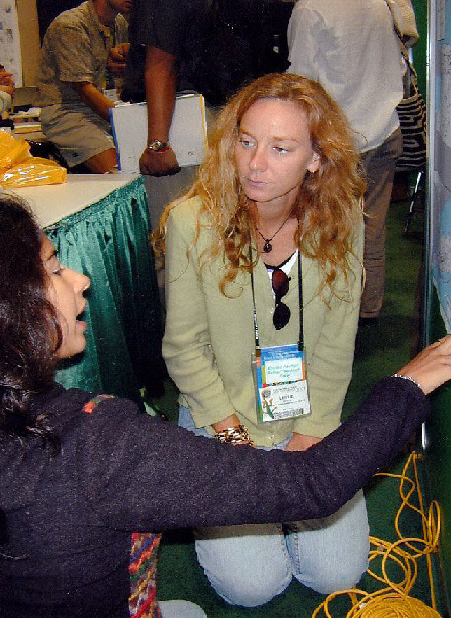
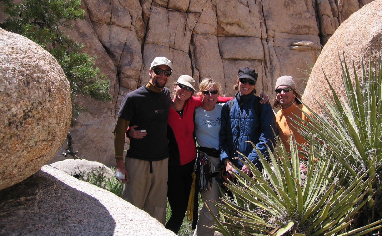
(Photo Below: 2007 Kenya Conference training with (L-R) Leslie, Scgis Kenya Chapter Director Lucy Waruingi, Scgis Conference Leader Susan Miller, Scgis International Committee members Karen Beardsley and Lata Iyer. L. Backus)
2008 Project Data Analyst -Cuare, Venezuela Wildlife Management Plan -Florida Center for Environmental Studies. Developed national geodatabases of natural resources for the Venezuelan government in support of the Cuare Wildlife Management Plan. Converted and homogenized existing paper, digital and field reconnaissance data into effective data layers. Performed data analysis designed to assist in making wildlife management recommendations for national government agencies. This data was integrated into the national database to be utilized in making decisions in key areas such as encroachment into national parks, wildlife poaching reduction, water quality management, and other natural resource concerns.
2008- SCGIS SCHOLAR TRAINER: at the University of California James Reserve
(Photos below, 2009 Field Work in the Mojave Desert & Joshua Tree National Park. L. Backus)
2008 Leslie first suggests an SCGIS “Reverse Scholarship” Program, supporting SCGIS trainers to go out to other countries to teach Conservation GIS classes. Later called the SCGIS Mentorship Program.:
From: Rankin Holmes <rankin.holmes@MONTANAWATERTRUST.ORG> To: SCGISBD@LISTSERV.URI.EDU
Date: Wednesday, August 13, 2008, 8:16 AM Subject: BOD discussion and SCGIS business thoughts
SCGIS structuring to consider:
Since we all basically agree the scholars are “scgis” we should consider saying so more formally and putting this program at the forefront of all of our work? Perhaps a portion of SCGIS dues (something like 1/3) could be put to support this exchange and program. I believe we (SCGIS) are missing this opportunity of not highlighting this program and all the good work we have done in the past. Our website could and should show all the scholars we have supported in the past, and what they do, and how scgis fits with this mission. We give no credit to our history by not publicizing this on the website. I think more people our likely to give $$$ if they know that a certain amount of the money that they give the organization goes directly to supporting such scholars. Just some thoughts…people may think this dumb or not worth it but I do believe we are NOT doing ourselves justice for our accomplishments to date by not putting these in the spotlight more. …
From: SCGIS Board of Directors List <SCGISBD@listserv.uri.edu> On Behalf Of Leslie Backus To: SCGISBD@listserv.uri.edu
Sent: Wednesday, August 13, 2008 11:42 AM Subject: Re: BOD discussion and SCGIS business thoughts
My discussion list looks much like Rankins, only differing maybe in approach.... and includes my perspectives on how the discussions today intermingle with my perceived approaches to a reverse scholarship play out..... they inertwine thoughout this memoir, please be patient...... hehehehe....
- And of course, because I have been on this endeavor for the last year, how a international develoment program (reverse scholarship) could support the existing scholarship program..... will this hinder what we already have or could it support it? Will it give us some way of relieving some of the large numbers we may or may not be able to support???? Sasha and company have done a great job of developing the scholarship program - what part do THEY see the reverse scholarship program playing This would be a good perspective to have shared with the group. So many questions and ideas to explore with this subject
My personal opinion about the reverse scholarship program
- After spending most of last year teaching in developing countries, I am confident we can do it, no doubt about that
- We need volunteers to do it - for ground work here and for sending over seas
- We need small amounts of grant money to support this program, not a great deal of money is needed if we follow the protocal I have set up (maybe $4000/teacher who can train 20-40 people while abroad - much discussion about this at a later date) (there were definitely some small problem that I encoundered that could be solved through small grants)
- The volunteers chosen for over seas work need to be extremely dedicated - not just wanting a free ride to another country - this is hard work and NEEDS follow up over an extended period of time for this to work (more discussion about this at a later date too....)
(photo below: 2009 Endangered Species Reconnaissance Survey. L. Backus)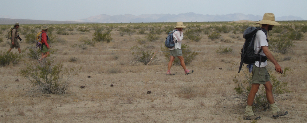
From: Rankin Holmes <rankin.holmes@MONTANAWATERTRUST.ORG> To: SCGISBD@LISTSERV.URI.EDU
Date: Tuesday, February 3, 2009, 1:54 PM Subject: Items for Board Consideration/discussion
Hi All – Here is a list of items I think we need to move on:
1) Documentation for forming new chapters – according to John Young’s email and I believe he is right, the BOD of SCGIS have never offered assistance and guidance in this area. It seems SCGIS has embraced this unstructured organic movement which often never works without strong leadership. We are getting blamed for the lack of guidance for chapters. If we want chapters to form we need to reach out more or explain why we are not. I’d like the BOD to decide immediately either “Yes” or “No” on whether or not we are going to put together guidelines to assist.
2) Second, the Scholarship Program: If it is “THE” scgis program and mission to promote GIS education and networking for folks, the BOD has to have more involvement and oversight. Ironically, I cannot nor could I ever help raise money for this program since I have no control or say as to what or how they do things. I look at our website and I cannot even see that the Moore Foundation gave us any money…I cannot find results such as scholars sponsored….success stories etc. Lucy W put together a magnificent conference in Nairobi in 2007 (probably bigger than our annual conference) and we have nothing about it on our website!!! These are the stories which will help leverage money for future support from members and funders….and WE aren’t even sharing them with our membership or the online world. So, I propose that the scholarship committee annual report which Sasha put together be put online for starters (ASAP). I think we need to choose at least 5 of our outstanding scholars whom we have supported and get their story online too!!! This will take work but I think its currently a bit embarrassing that we have nothing online after years of running a successful program…
2008 Spatial Analyst -Project Global -Duke University, Charlotte, North Carolina. This project was designed to assess the impact, effects and risks of global fishery practices on sea mammals, sea birds and sea turtles. Characterizing megafauna bycatch patterns across large ocean regions is essential to direct conservation and management resources. This analysis provided an unprecedented global assessment of the distribution of air-breathing megafauna bycatch. Each fishery practice was evaluated in terms of effect and risk in an effort to identify those species most impacted by high risk practices. The Duke Global Ocean Biodiversity Initiative (GOBI) (http://mgel.env.duke.edu/projects/gobi/ is an international partnership advancing the scientific basis for conserving biological diversity in the deep seas and open oceans. It aims to help countries, as well as regional and global organisations, to use and develop data, tools, and methodologies to identify ecologically significant areas in the oceans, with an initial focus on areas beyond national jurisdiction.
OBIS-SEAMAP Protected Species Database http://mgel.env.duke.edu/projects/obis-seamap/
OBIS-SEAMAP (seamap.env.duke.edu) is a spatially and temporally interactive online database for marine protected species, collecting data from ship/aerial surveys and satellite telemetry as well as acoustic monitoring and PhotoID around the globe.
2009 Jun – Assist with training SCGIS Scholars
2010 Jun Assist with training SCGIS Scholars
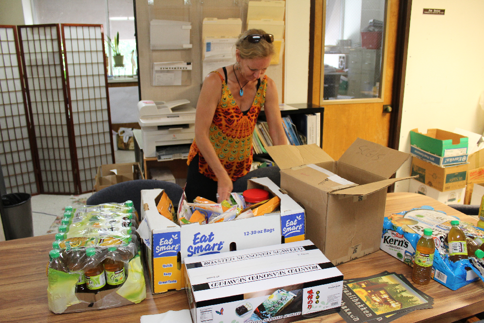
(Photo Below: 2011 Assisting training also involves numerous mundane tasks outside of the classroom such as coordinating food. photo by S. Yumakaev)
2011 Jul Assist with 2011 Scgis scholar Training at UC Davis
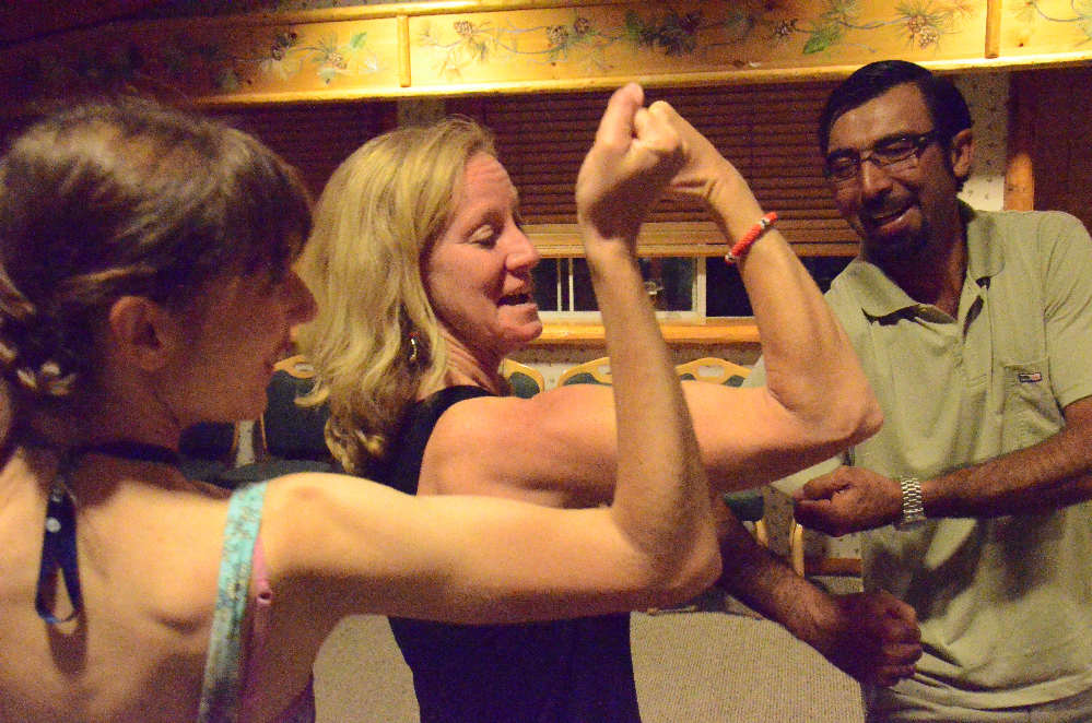
(Photo 2011 Here 2011 Russian Scholar Ilona Zhuravleva (L) & Leslie prepare for some old-fashioned arm wrestling. L Backus)
2012 Jun-July Assist SCGIS Scholar & TTT Training, Davis, CA. June 27 to July 26, 2012
Karen Beardsley and Leslie Backus provided assistance in the class, with Leslie teaching the GPS module
(Photo 2012 Leslie reviews & prepares course material for the upcoming day's lessons L. Backus)
2012 Named to board of new "Train the Trainer" Global Training Program
2013 Jun-Jul UC Davis TTT & SCGIS Scholar Training
Karen Beardsley and Leslie Backus provided assistance in the class, with Leslie teaching the GPS module
2013 Paper at the Western Section of the Wildlife Society Annual Conference “GeoDesign: Where Solar Panels and Desert Pavement Meet”
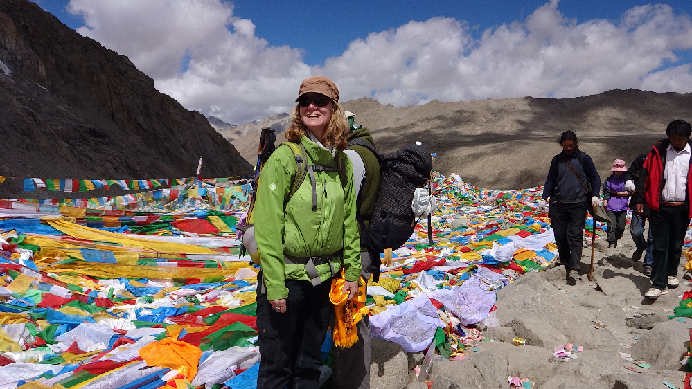
(Photo 2014: Mt. Kilash, Tibet. photo by L. Backus)
2014 KENYA Research Analyst /Technical Lead /GIS Trainer -Multiple Non-Profits –Kenya. Project advisor and GIS trainer for multiple project types (water management, habitat analysis, carnivore/human conflicts, wildlife management). Long term focus on carnivore/human conflicts/mammal hair analysis and management of Grevy’sZebras. Developed project objectives, analysis techniques, data specifications, spatial and cross platform compatibility. Objectives included wildlife/resource management and research, as well as local community involvement and conflict resolution
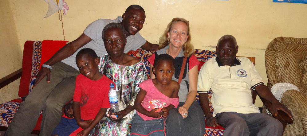
(Photo 2014: Visit with 2011 Scholar Philip Kimihuro of the Uganda Wildlife Conservation Trust & his family. L. Backus)
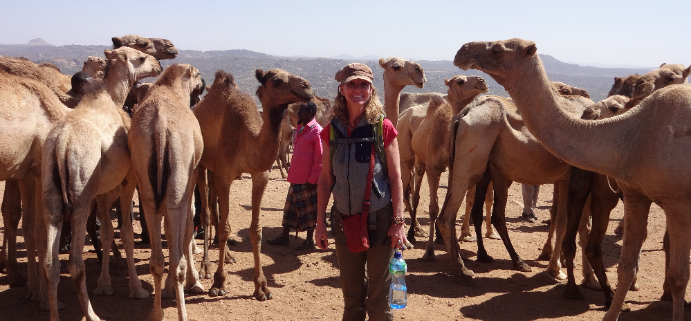
(Photo 2014: Side adventure to Ethiopia following the 2014 Kenya Training Workshops L. Backus)
2014 Jun 17-Jul 5. Assistant instructor for UC Davis TTT & SCGIS Scholar Training
Karen Beardsley and Leslie Backus provided assistance in the class, with Leslie teaching the GPS module
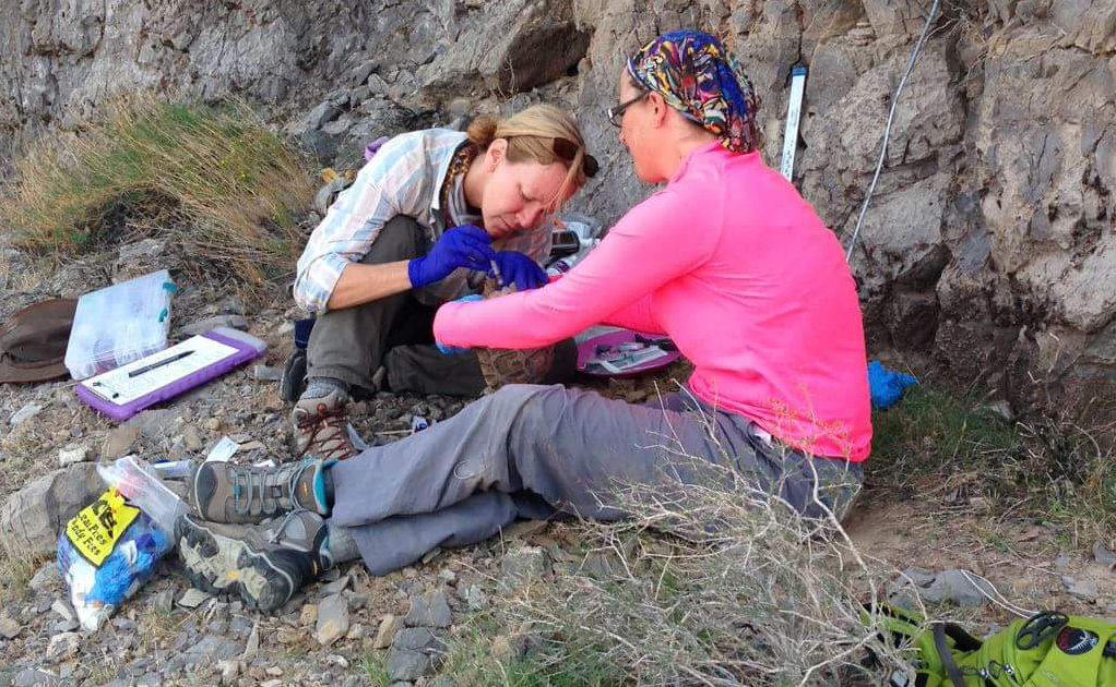
Photo 2015: Blood draw on an endangered Desert Tortoise. L. Backus)
2015 Jun-Jul. Assistant instructor for UC Davis TTT & SCGIS Scholar Training
Karen Beardsley and Leslie Backus provided assistance in the class, with Leslie teaching the GPS module
John Schaeffer Email to 2015 Scholars:
“I will be the lead instructor in the course and will be assisted by Leslie Backus and Karen Beardsley, who both have been working with SCGIS since it started. Leslie has been training and doing GIS work all over the world. Besides helping in the class, Leslie will take the lead on helping students with their projects, and will be the GPS instructor. Karen teaches and manages the Information Center for the Environment (ICE) at UC Davis. We will also have 2 former scholars helping in the class “
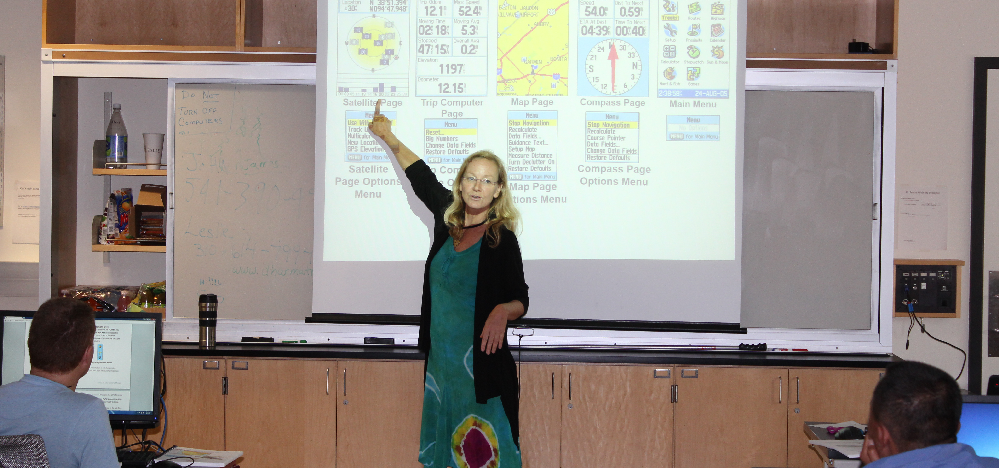
(Photo 2015: GPS Training on Garmin field units graciously donated to the scholars by Garmin International L. Backus)
2016 Jun-Jul. Assistant instructor for UC Davis TTT & SCGIS Scholar Training
( Photo 2016: Teaching GPS & FIeld Mapping at the Royal Thimphu College, Bhutan L. Backus)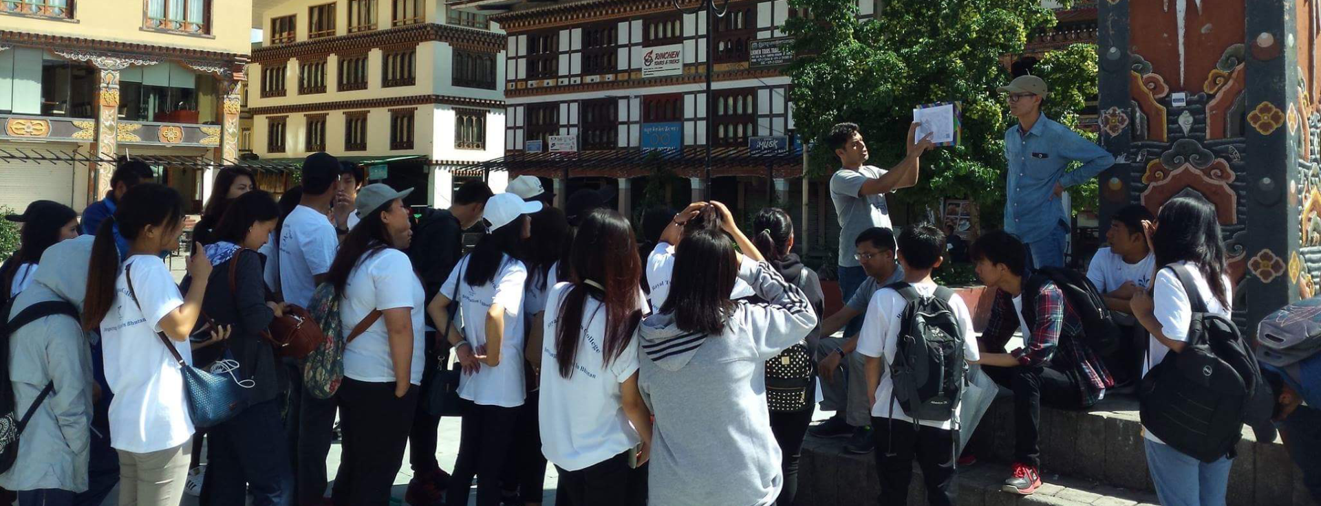
2016 Teamed with Karen Beardsley to create the SCGIS Mentorship Program:
“I’m really excited about the possibilities that we discussed about piloting a first ever SCGIS mentor/protégé program. This is not an entirely new idea, but one that seems to finally be coming into focus because of the experience both Leslie and I have had working in Bhutan the last couple of years. We’d like to test out the idea of inviting 1-2 young GIS students in the conservation field who show strong promise as future conservation leaders in their countries to join the SCGIS core scholarship program together with a “mentor” from that country who will come as a core scholar. The mentor will sit with the students during the training program and help them along (assuming they may be a little slower to pick up the concepts due to less practical experience). The mentor will be a GIS conservationist with strong leadership skills who already is (or soon will) develop and lead chapter growth in their country/region. We expect the mentor will work to help the students gain internship opportunities in the home country after this SCGIS experience, and that the students will strive to help with the chapter development and pursue careers in conservation GIS….
The really amazing thing about this opportunity at this particular time is that there is a great deal of momentum in place in Bhutan to increase GIS capacity across government/private/NGO organizations, and GIS capacity building is focused at RTC with the only real GIS curriculum (in its Environmental Management B.Sc. program). It’s a win-win all the way around. As you have suggested, adding the two apprentice SCGIS scholars (protégés) to the program will bring the total number up slightly for the core program. Funding for this may very likely come from the Bhutan Foundation (I have connections and think they may fund this). I suggest we test this out for Bhutan this year, and consider offering this type of an opportunity for one country each year we run the SCGIS program. If we choose people who our own members already know, that increases the likelihood for success. Let’s not forget that Bhutan is a country that is currently carbon NEGATIVE, and their environmental protection policies surpass most in their goals (for example, Bhutan must maintain at least 60% forest cover forever. Currently it’s at 72%).
-Karen
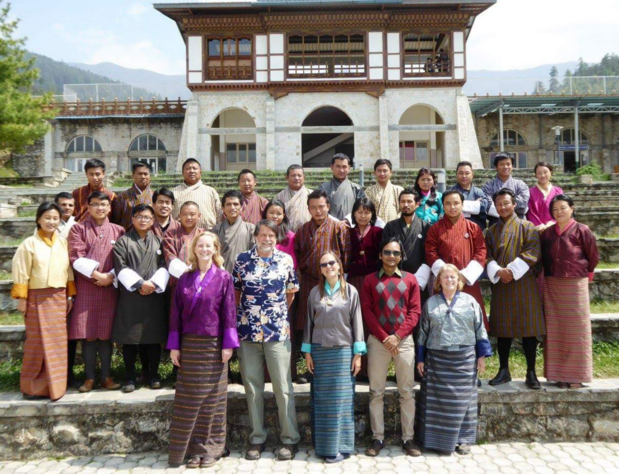
2016 Teamed with Karen Beardsley, John Schaeffer and Diyan to teach Conservation GIS Workshop at a Bhutan National Land Commission Workshop (Photo)
2017 Jun-Jul. Assistant instructor for UC Davis TTT & SCGIS Scholar Training
2018 Jun-Jul. Assistant instructor for UC Davis TTT & SCGIS Scholar Training
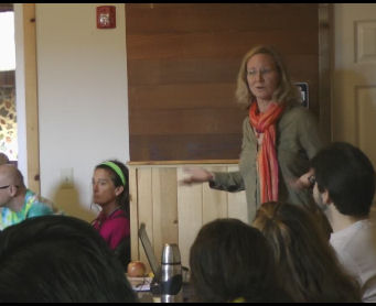
2018 Jun-Jul. Assistant instructor and Lead co-organizer for UC Davis Global TTT Summit Conference & Davis/Redlands TTT Training Program
-
 Anonymous User